Shipley River Day – this Saturday!

Don’t miss our special “Shipley River Day” event this Saturday, July 13th, at Kirkgate Community Centre!  There are activities for all ages, interactive discussions, questions asked and answered… Shipley sits at the intersection of two rivers and a canal, but what do these waterways mean to us today?

See our electronic flyer here for full details…

1pm   Family Adventure Walk:
A roaming exploration of the connecting pathways along Shipley’s rivers and canal – complete with storytelling, activities and a bit of history…Please note: the walk starts from the far end of the car park between McDonald’s and Aldi (off the Leeds Road), and finishes up at Kirkgate.

2pm Information Market and Creative Activities
An opportunity to find out more about a wide range of watery topics including:
• Riverside footpaths and cycle paths
• Boating and fishing
• Gardening and allotments
• History, heritage and architecture
• Water quality
• Wildlife and plant life
• Flood management
• Hydro power and energy
We’ll have a wide range of “experts” on hand to share their knowledge,
but they want to hear your views too… Everybody’s opinion counts!

Participating organisations include:

Aire Rivers Trust
Baildon Woodbottom WMC
Bradford Council
Sustainable Saltaire
water@Leeds
Yorkshire Wildlife Trust
Environment Agency
Friends of Bradford Beck
Shipley College

4pm “Question Time” event
Join us for this special debate event, focusing on the key river, canal and water issues for Shipley and Bradford at large… Put a question to the panel, or share your own views!

The Kirkgate Centre is at 39a Kirkgate, Shipley (right oppposite Shipley Town Hall).

Some things change, some stay the same…

In preparation for next month’s re-mounting of our Multi-Story Water performance tours, I went walkabout around the Aire in Shipley the other day. I wanted to make sure that the script for our Red Route tour is up to date, and so the first port of call was Lower Holme, where that route finishes up – the site of the demolished mill still referred to locally as “C.F. Taylor’s”. I popped in to visit Margaret Wright, who lives in one of Lower Holme’s former mill cottages, and who has been a great supporter of our project almost from Day 1. (june13 001Here’s Margaret with her dog Millie, right.) I had been expecting to find the derelict mill site populated by trucks and workmen, because my understanding was that developer James Marshall was wanting to have work completed on the site by this autumn. (James has been pro-active in liaising with Lower Holme residents about his proposed retail development, and addressing their concerns – see previous blog posts on Lower Holme.) However, there is no sign of any work even having been begun, which is bewildering for Margaret and the other residents… After so many years of putting up with an ugly metal fence and a wasteland (and the social nuisance factor that comes with it), they must be wondering when the build is ever going to happen… That said, the current word is that the remaining Lower Holme mill building june13 003(left), which is in an increasingly poor state of repair despite having been converted as flats a few years ago, is to be pulled down as part of the new development. Margaret proudly told me that James had even asked some of the residents what they thought should be done with this building – convert for offices, social housing, or knock it down? – and that they had asked him to get rid of it. So now it’s going, and for once people feel like they have been consulted! But as I say, there’s still no visible change on site…. except for the appearance of black plastic bins along the path leading down to the footbridge across the river! These have nothing to do with the developer and everything to do with the residents. For years, Margaret herself has been taping black bin liners to the fencing june13 004so that dog-walkers had somewhere to put their muck and litter… Bradford Council will take no responsibility for doing this, even though this path is part of a much-used right of way across the river, because Lower Holme is an “unadopted road”. A group of residents, however, have finally managed to get some money together to purchase 3 bins to put up down the length of the street (including this one opposite Margaret’s house). Slingsby’s, the retailer on the other side of the fence, agreed to sell the residents 3 of these bins for the price of 2, and even to install them professionally… A gesture of neighbourhood goodwill that the Council might do well to learn from? This simple change has made a big difference to Margaret – creating a sense that things are finally starting to look up in the area. She and other residents are still having to empty the bins though (and the dog dirt they hold), into their own wheelie bins… Talk about “above and beyond the call of duty”!

june13 012The most visible change to the path of our Red Route walk since last September is actually along the river path between Salts Mill and Baildon Bridge, where the “Aire Sculpture Trail” has just been unveiled. It was officially opened on May 25th as part of the Saltaire Arts Trail weekend, by Andrew Mason – the developer who built Victoria Mills (he also figures prominently in Red Route!). This is because the funding for the Sculpture Trail actually comes from him, via Bradford Council, who levied “Section 106” charges on the Victoria Mills development. These funds, it was agreed, were to be used in the restoration of the rather neglected footpath linking VM with Saltaire. There’s an irony here in that, currently, the gate from the VM complex onto the footpath is kept padlocked for security reasons… so residents can’t easily use the path anyway. But the rest of us benefit from the entertaining, colourful sculptures that were commissioned from the HIVE Studios (based downstairs from Kirkgate Community Centre in central Shipley).

june13 007I think my favourite is this little fellow, perched at the end of the footpath on Baildon Bridge in his yellow rubber ring (or dinghy?). (Given that Baildon Bridge has a history of flooding problems, he might well need that ring at some point in the future!) The sculptures were created by artist Mick Kirby Geddes in collaboration with children at Wycliffe Primary School – and apparently there have already been some complaints that the sculpture trail is “childish”. It’s not high modernist art, certainly, but that’s clearly not its purpose – it’s there to be fun and attractive and provide something for families to do on a quiet afternoons. Of course, I could pick holes and complain that some of the sculptures seem to have little to do with the riverside setting, and could perhaps have been a bit more consistently themed june13 015(this snowman on the wall of Victoria Mills is a little on the incongruous side!). But that may be to miss the point: what is clear is that this rather narrow, uninviting piece of footpath has been rendered much more inviting and friendly by the presence of these sculptures – there’s a sense of welcome and warmth here, which is no doubt what was intended. It remains to be seen, of course, how well the new additions to the setting will be maintained — and whether the footpath itself will get the continued maintenance it very much needs. For now, though, a round of applause for HIVE, Mick Kirby Geddes, and the children of Wycliffe Primary…

june13 009


Thankyou Shipley College…

This post is a slightly belated celebration of the final launch presentation by Shipley College’s Games Development students that took place last Wednesday, 5th June. I wasn’t able to be there myself, but I just love the “trailers” that the students have made to summarise and advertise their work responding to buildings along our three Multi-Story Water routes – Red, Blue and Green… So here they are below! (for previous blog entry explaining all this, click here)

Here, Pixelarity‘s Red Route trailer goes for the expansive, Hollywood feel … in tune with the epic scale of some of their buildings, such as Victoria Mills and Salts Mill itself. By contrast, Robot Llama‘s Blue Route trailer goes more for the spooky thriller mood for its canal-side buildings including Hirst Lock and the Canal Company Warehouse…

And finally, Cyberchondriacs‘ Green Route trailer… Somewhat more eclectic this one – I especially like the Boathouse stuff.

Beck under Bradford…

A short post, this one, just to connect with a fascinating blog post I recently discovered here, from someone who has actually walked the full stretch of Bradford Beck as it flows underground through the city centre… It doesn’t finally emerge until the Canal Road corridor in the Frizinghall area on the way to Shipley. A very good read.

As if to link up… I’m currently working on a video edit of the film we made for our Multi-Story Water performances last year, for which I walked the daylit stretch of the Beck (with handheld camera) from Canal Road to the Leeds-Liverpool Canal Aqueduct (where the Beck passes underneath it). The video will be posted soon on this site.

Salt or Sweet? Ask the Doctor…

So. The other week I posted a blog entry (“Saltaire inside out”) about visiting Shipley College and seeing the students’ 3D digital modelling work inspired by our Multi-Story Water routes. Little did I know, when mentioning that the video modelling Saltaire’s Congregational (URC) church also featured the playful addition of Doctor Who’s TARDIS, that said TARDIS would be touching down in Saltaire only two days later…

DOCTOR WHO SERIES 7BThe new Doctor Who episode for Saturday 4th May was “The Crimson Horror”, by Mark Gatiss (ex-League of Gentlemen), in which the Doctor and Clara find themselves in Victorian Yorkshire… in a model industrial village called “Sweetville” that has apparently been set up to save the citizens of Bradford from the foul polluted air of the city… Go figure. Instead of Salt it’s Sweet, but the architecture is unmistakably Saltairey…

sweetvilleApparently the tower in the middle – which in other shots looks remarkably like New Mill’s Italianate chimney – is hiding a rocket ship which (for reasons which escaped me) blasts off at the end of the episode. My favourite bit in this gloriously loopy story was that “Mr. Sweet” turns out to be a doll-sized, bright red, pre-historic leach — a hideous succubus on the chest of Dame Diana Rigg’s batty old villainess character… Said leach has survived over centuries in the river because of the pollutants keeping it alive… Now it has cleverly developed a scheme to produce its own red venom on an, ahem, industrial scale, in order to turn workers into obedient zombies. If the venom backfires it just turns you into a crimson corpse, in which case you just get thrown into the canal for the local police to haul out later… So there you have it. River and canal, both being recognised as fundamental to the Saltaire… sorry, the Sweetville story…


Mirror Mirror, on the floor…

various may 13 026Here’s Bradford’s city centre Mirror Pool, the City Hall behind it, yesterday afternoon as the sun shone. In the foreground is Andy from Pro-Audio, on the phone trying to figure out why he can’t get control of the fountains at his lighting desk. We were setting up for last night’s Blue Mirror performance – commissioned by Bradford Council’s Chief Drainage Engineer Tony Poole, to help open the Flood ResilienCity conference taking place in this city this week, with delegates from across Europe (don’t ask me about the weird spelling…). I’m such an idiot that this is the only picture I remembered to take – I got a bit preoccupied with just getting the show to happen – so we’ll have to wait for Simon Warner’s official pics to see what it all looked like… (from his point of view)

The brief had been to make a theatrical presentation for the Mirror Pool, on flood-related themes… In keeping with my own creative interests, I had interpreted this in site-specific terms, on two levels: (1) the Mirror Pool area is a site in which you frequently see children splashing about having fun, so it seemed to me that an appropriate creative response would involve children as performers; (2) that Bradford’s flood risk problems largely arise in areas where the river itself is invisible – submerged beneath the city in Victorian tunnels. Indeed the Beck actually passes by quite quote to the Mirror Pool, which according to the maps is in the risk area – yet the Mirror Pool (opened last year at a cost of millions) is the only water visible in the area. So I had set out to devise a performance that “made visible” something of the Bradford Beck river system, by thinking of the Pool as a kind of microcosm of the city…

With the help of the Council, we identified two primary schools in the west of Bradford – St. James and Crossley Hall – that were interested in participating in a project about rivers and flooding, leading to a performance. I wrote a previous blog entry about my scouting trip along Pitty Beck and Chellow Dean Beck, the two tributaries of Bradford Beck that pass near the schools. Subsequent to that visit, before the Easter holidays, I led two Year 5 classes from Crossley Hall on adventure trips along Chellow Dean, upstream towards the old Victorian reservoir — although on the second occasion we didn’t get that far because we got caught in a snowstorm and had to turn back! In fact in this picture below, if you look closely, you can see class teacher Miss Taylor gesturing with her thumb to pull everybody back in the opposite direction…

DSC00923

Only minutes earlier it had been much less snowy, as you can see from this image (taken by Miss Taylor, I think – who kindly supplied all of the pictures below), as the some of the children and I pick our way across the stream in the Chellow Dean wetlands area…

DSC00827In fact, the weather got so terrible in that period just before the Easter break that I twice had to cancel the planned walk along Pitty Beck with the St. James Year 5 class, which we only finally did a few weeks ago. As a result, St. James have only been doing their river project work this term – too late to feed it directly into making the performance itself. The Crossley Hall children, however, did some beautiful natural art work in response to the river trip… natural art 2 And they also learned about the water cycle, and how their bit of river fits into the wider geography of water movement – as illustrated by this picture below…

water cycleThey also did some really amazing expressive writing, some of it in semi-pictorial form, like this piece below… from which I directed lifted quite a bit of the wording, to weave into our performance text…

image-1 (2)The raindrop is “falling from the sky” to “meet my destiny”, while the river is saying “come on, come on”, welcoming it down: “I’m here for you and I always will be…” (There’s a pretty profound sense of ecological consciousness in there that adults might do well to think about!) Finally, the kids also did some imagining of fictional creatures that might live in or around the river, like this scary looking fellow… IMG_0129This gave me the idea to use some fantastical creatures in our performance – hence the “Sewage Goblins”, the “Elves of Industrial Effluent” and “the Foul Flies of Fly Tipping” – for which the children also made masks to perform in. These three groups (the three class groups involved) were the hideous minions of “the Evil Queen of Concrete”, who has smothered Bradford Beck (“Just call me Brad”) and family of little Becks… “Moo-ha-ha-ha!”

The moo-ha-ha was the very distinctive, very funny laugh for the Evil Queen decided on by Neiha (sorry – not sure of correct spelling), from Miss Butler’s Crossley Hall class. She’s a very sweet, shy girl but she was brilliant as “Elvira” on Monday night – word perfect too! She brought her evil minions down from 3 directions on Brad Beck (Maneeb, a small but very feisty boy, again perfect for the part – and again I don’t know how to spell his name) and his family. The other speaking parts with lines to learn were “Hope” and “Dwayne” – Annam and Aiden from St. James – who appeared at the end of the play to exhort us all to do more to “be the friends of Bradford Beck…” – to clean it up and make it happy. (The script was originally Hope and Faith, but Mr. Wilson wanted us to use a boy, so…). These guys too were great. It was strange watching these speakers in the middle of the Mirror Pool because they seemed so far away in this big space: the radio mikes meant we could hear every word crystal clear, though, and none of them fluffed a line!

Most of the script (which you can read here, if you like) was written to be delivered by narrators – one from each of the three classes involved – who could read from clipboards and so didn’t need to memorise lines. Uzair and Laiba (from Crossley Hall) and Iqra (St. James) all did a tremendous job with this, again speaking steadily and clearly so that the whole narrative came across clearly even in the slightly windy conditions. The challenge in writing the script for them had been to create something that said something about the Bradford Beck system – its geography and its history, and potential flood risk – in a way that would be clear to the children and make sense coming from them as speakers. I think for the most part we managed this, and we had some very positive feedback from some of the conference people about how well we’d balanced the positives and negatives in thinking about the state of the river and its potential risks.

The trickiest part of the whole process, though, was the choreography. The Mirror Pool is a big space to work in, so I always knew we had to make something that was primarily visual and movement-based (with music, narration and fountains…). I was lucky enough to be able to bring in Lucy Hind, a really wonderful movement director (worked on the Paralympic opening ceremony last year!) who was great with the kids and fun to collaborate with. It was very interesting to watch her gauging what the kids could cope with, movement-wise, and adapting accordingly. Our problem, though, was that we had quite limited rehearsal time at the schools (quite rightly – they have other things to be teaching these children!), and that we had extremely limited rehearsal time actually on site at the Mirror Pool… The first time the kids came together to work on it there was after school on Monday, shortly before we performed for our audience. So the results, in all honesty, were a little bit more chaotic than Lucy and I hoped… We just hadn’t had the time to work out all the details on site, and the kids were getting distracted pretty easily by the opportunity to splash about! (well they would, they’re 9 and 10!). What they lacked in rigorously drilled precision, though, they more than made up for in enthusiasm and energy, especially when it came to the splashing. And there were some sections of the show that looked really great – with the three classes stretched out along the three arms of the “Y” path that cuts across the pool, all twirling round, stamping feet, raising arms, etc. It’ll be fascinating to see how the pictures turn out…

I was also pleased to see that my “river trains” idea worked out OK. In this bit, different groups of children – linked in ‘conga’ lines with hands on shoulders – converged on the middle of the space from different directions, in a sort of mapping out of how the different tributary becks flow into Bradford Beck. The idea was that we’d locate the city centre in the middle of this map with a mini version of the Mirror Pool itself and the buildings around it (made by the children from boxes etc.). Unfortunately, the wind caught some of the models, and the kids carrying them had too much ground to cover for the narration to gel with what they were doing… But the big long river train came together beautifully. Geographically speaking, it ended up heading off somewhere towards “Leeds” instead of “north” towards “Shipley”, but I’m sure I was probably the only person watching who noticed this particular subtlety…

So, key learning point: children have less spatial awareness than you assume they will, especially in a big space. They’ll also naturally group together to feel safer when exposed, so instructions like “spread out across the space” are largely lost on them. (Maybe these are concepts that we grow into as we get older.) All that said though, I think these children did an amazing job considering the limited time we had and the scale of the task we gave them! And most important of all, they really seemed to have fun on the day, especially during the bit where they got to go bonkers in the water.

So thankyou Lucy, thankyou Mr. Wilson, Miss Taylor and Miss Butler, and thankyou most of all the Year 5 children of Crossley Hall and St James (some of whom I have become very fond of, and will miss!). All in all, it was quite an experience, and a lot of fun too!


Saltaire inside-out

mirror pool etc 010It was a gorgeous, calm, spring day in Saltaire this Thursday, but the weir (epicentre of the ongoing hydro-electric screw debate… see previous posts) bore the evidence of some kind of natural turbulence upstream. This tree trunk was caught precipitously on the lip of the weir, but I’ve flipped the image upside down to put the sky’s reflection back in the sky. (Well, it entertained me anyway…)

Perhaps I’d been put in the mood for messing with angles and perspectives by my visit that afternoon to Shipley College (which is of course located in the heart of Saltaire), where the second year Games Development students have been working for much of this last academic year on creating their own, on-line responses to our Multi-Story Water performances of last September. Divided into three teams, to work in relation to our three routes – Green, Blue and Red – they’ve been focusing particularly on 3-D graphic renderings of some of the area’s iconic buildings, that are connected up by the river and canal. They’ve also done some complementary 2-D artwork, such as this rather lovely image that collapses together structures in and around Roberts Park…

5122a4_eb735810c7590a47ddf70a208b228a03.png_srz_570_270_75_22_0.50_1.20_0.00_png_srz

mirror pool etc 009mirror pool etc 008 From left, there’s the park’s gazebo, Half Moon Cafe (with the statue of Titus Salt standing over it, back turned!), the Boathouse Inn across the other side of the Aire, and finally the Park Lodge. This is an image by the Cyberchondriacs team, pictured to the right, whose project website can be found here.

The next image down shows course tutor Mel Baron and myself (Steve Bottoms) along with two members of the wonderfully named Robot Llama team, who have been focusing on Blue Route (i.e. around the canal). Their website is here.

Last but certainly not least, in the image below, there’s the Pixelarity team (website here), who have focused on Red Route’s river locations downstream in Shipley… although since Red Route was “Mill to Mill” they also seem to have appropriated the Daddy of them all, Salts Mill (which to my mind was on Blue Route, since the canal passes right between the main mill buildings… but not to worry!). Pixelarity are pictured grouped round a monitor displaying one of their 3-D renderings… Scroll down further to see some of the amazing video pieces the students have created!

mirror pool etc 007

There are many more draft videos posted on You Tube, in various states of completion, but I’ve selected and pasted in a few below — to illustrate my “Saltaire inside out” theme. I love the way that the iconic structures from the World Heritage Site have been rendered so that they’re both instantly recognisable and yet viewed in completely strange new contexts… Immediately below, for instance, is Pixelarity’s extraordinary, kinetic tour around Salts Mill itself… racing along the rows of windows like some hyper-modernist dream; hoving around and above the chimney at angles you’d never normally get to see…

Keep watching and the video eventually moves inside the doors – at which point the fact that Salts is now a gallery space provides the excuse for rendering an entirely imaginary, uber-modern intereior with gallery exhibits drawn from the students’ own previous portfolio work! A similar inside/outside twist is also apparent in Robot Llama’s version of Salt’s Congregational Church – knowingly accompanied here by Doctor Who’s Tardis! Because the students couldn’t gain entrance to the church on any of the occasions they tried, they’ve simply imagined their own interior…

Cyberchondriacs’ renderings of the structures in Roberts Park are mostly shorter than those by the other teams (this is all still work in progress), but the imaginative twists are no less interesting. This video of the Park Lodge, for example, does some very atmospheric things with trees… while immediately below it is another in which the gazebo is turned into a strangely spooky light source in a darkened landscape (complete with the now-empty plinth of Titus Salt’s statue, embedded in the earth like some listing gravestone…).

I very much enjoyed meeting with the students, and will be digging out some sound and text materials from the performances for them to use – as they see fit – alongside their visuals. Their work, very appropriately, will be a featured part of Shipley College’s contribution to Saltaire Arts Trail at the end of May… From my point of view it’s just been great to see what we did last year on Multi-Story Water being taken as inspiration for an altogether different set of creative responses to the area.

A Tale of Two Tributaries

Today I went on a bit of a scouting adventure… Not in the Shipley area, this time, but out to the West of Bradford, in the vicinity of Chellow Dean Beck and Pitty Beck, two of the main tributaries that flow in to help form Bradford Beck before it flows underground and through the city centre. (They’re the two wiggly bits coming in from the north of the main arm of the Beck in the diagram below, prior to the Beck turning that big corner in the city and going north to Shipley and the Aire.)

Bradford Beck catchment

Anyway, I was scouting out these tributaries, prior to leading some primary school children on field trips along them. This is part of their project work on water and local rivers, which we’re hoping will provide the basis for a performance for the Mirror Pool in Bradford’s City Centre on May 13th (a follow-on, of sorts, from last year’s performances in Shipley). Since the Mirror Pool is a site in which one can frequently see kids splashing around (OK, maybe not at this time of year!), it seemed logical to work with schools to make something for it. This is in response to Bradford Council’s request that we make a performance for the Mirror Pool to mark the opening of the Europe-wide Flood Resilient Cities conference.

The collaborating schools are Crossley Hall Primary and St. James’ Church Primary, which are located close by to Chellow Dean Beck and Pitty Beck, respectively. And what both tributaries have in common are wetland areas that were put in by the Council from 2004, including special reed ponds. These are, apparently, an experiment in treating water quality: according to Tony Poole (Chief Drainage Engineer at the Council), the reeds and their soils have a natural cleaning/filtering effect on water that may already have been contaminated upstream by human impacts. What I hadn’t gathered from talking to Tony, however, was just how different these similar wetland projects appear in practice…

chellow pitty 041Here’s the treatment pools in the Chellow Dean wetlands (covered with some snow and ice first thing this morning), with the Beck flowing on to the right, and the reed ponds in the background… Like the whole wetland area, the landscaping is neat and appealing despite the oddly geometric ponds, and the reeds grow high in their neatly defined beds…

chellow pitty 087There’s a sense, from the whole spirit of the place, of the community here taking pride in this slightly incongruous bit of ecological intervention… That impression is thrown into sharp relief by the comparative state of the Pitty Beck wetland area…

chellow pitty 103The whole area feels neglected, scrubby… even the ponds look poorly maintained and manicured by comparison with Chellow Dean. The reed ponds (in the background of the shot above) have a lot of rubbish in them too…

chellow pitty 105Tony Poole had mentioned to me that there are less people living around the Pitty Beck wetland, and thus less of a sense of community ‘ownership’ and collaboration in keeping the area up. But there are in fact quite a few houses not far from here, and I saw people walking dogs etc. My impression, though, was that this area was generally more run-down and disadvantaged than the area around Chellow Dean, and that the Council has perhaps not done enough to engage and involve them in the area’s upkeep (let alone keep up the area themselves!). It surely can’t help when local residents are confronted with signs like this at the entrances to the wetland area:

chellow pitty 123No doubt the sign is up for legal reasons (to prevent a “right of way” establishing itself by default, through what they call “custom and practice”), but the wording is unwelcoming, to say the least. Little wonder, perhaps, that at least one of the locals has responded rudely:

chellow pitty 109If you can’t quite make it out, that’s the word “DICKHEADS” scrawled across the map explaining the purpose of the wetland area… And in the photo below, you can see where Pitty Beck gets sucked into a huge, unsightly bit of piping that takes it underneath the main Thornton Road just to the south (the road visible on the graffiti-ed map above!).

chellow pitty 114Crossing over the main road, in search of the Beck’s continuation, I was confronted rather abruptly with a long line of high fencing and walls, and a notice that leaves you in no doubt that you’re not welcome…

chellow pitty 117Here, it seems, the Beck flows into private land – the Stone Heights property development (est. 1999) with its perfectly manicured gardens, tennis court, and elevated summer house that looks uncomfortably like a watchtower…

chellow pitty 121As may be apparent from this picture, I chose to disregard the “No Trespassing” signs in order to see if I could get closer to the river (because trespassing is not actually an offence unless you break something, and because I firmly believe that watercourses belong to everybody, property laws be damned!). The river is at the bottom of the valley in the shot above, below the high wall buttressing the road… Shortly after taking this picture I was politely ushered off the property by a gardener who explained that the owners are “a bit funny” about uninvited visitors… And that no, they probably would not be responsive to a request to bring some schoolchildren on a visit…

My experience attempting to walk along Chellow Dean Beck had been very different. There’s a pleasant valley walk up through the wetland area, as the river weaves and bends its way through the soft ground…

chellow pitty 049No sense of feeling unwelcome here. And there’s evidence of playful, personal interventions in the landscape – such as the little guitar-playing frog and improvised treehouse below…

chellow pitty 050If you track Chellow Dean far enough upstream, under another main road and up through an open field, you eventually get to the gorgeous surroundings of the twin Victorian reservoirs, full of bird life and a haven for dog-walkers…

chellow pitty 067The reservoirs no longer serve any utilitarian purpose: it was long since concluded that Chellow Dean Beck has little enough water in it without the Council siphoning it off (presumably to serve the wool industry and its dye-houses, back in the day…). But it’s all maintained beautifully as a park area. I also was also personally pleased to see the domed Victorian pumping station at the base of the lower reservoir, very similar to the ones next to the Aire to the west of Shipley.

chellow pitty 069The field trips for the two school groups, then, are going to be rather different. The Crossley Hall children have been doing project work on ‘the Victorians’ so maybe we’ll hike them up as far as the reservoir (the teacher’s suggestion), and take in the views… Lovely. The children at St. James’s have an altogether less appealing walk to enjoy, but we shall see what they make of it. Better turn my mind to thinking how to engage them!

A New Year’s Eve Flood History

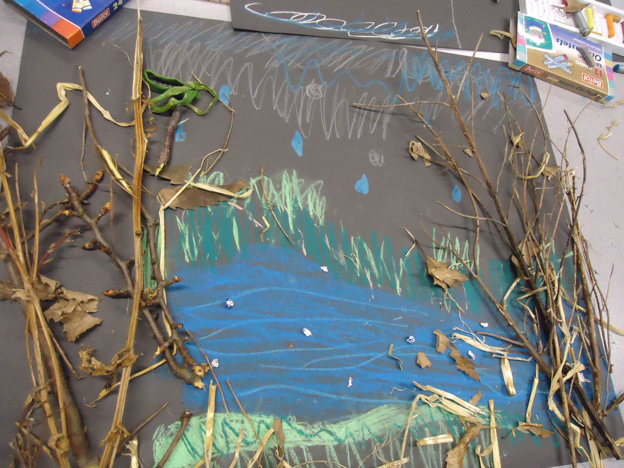
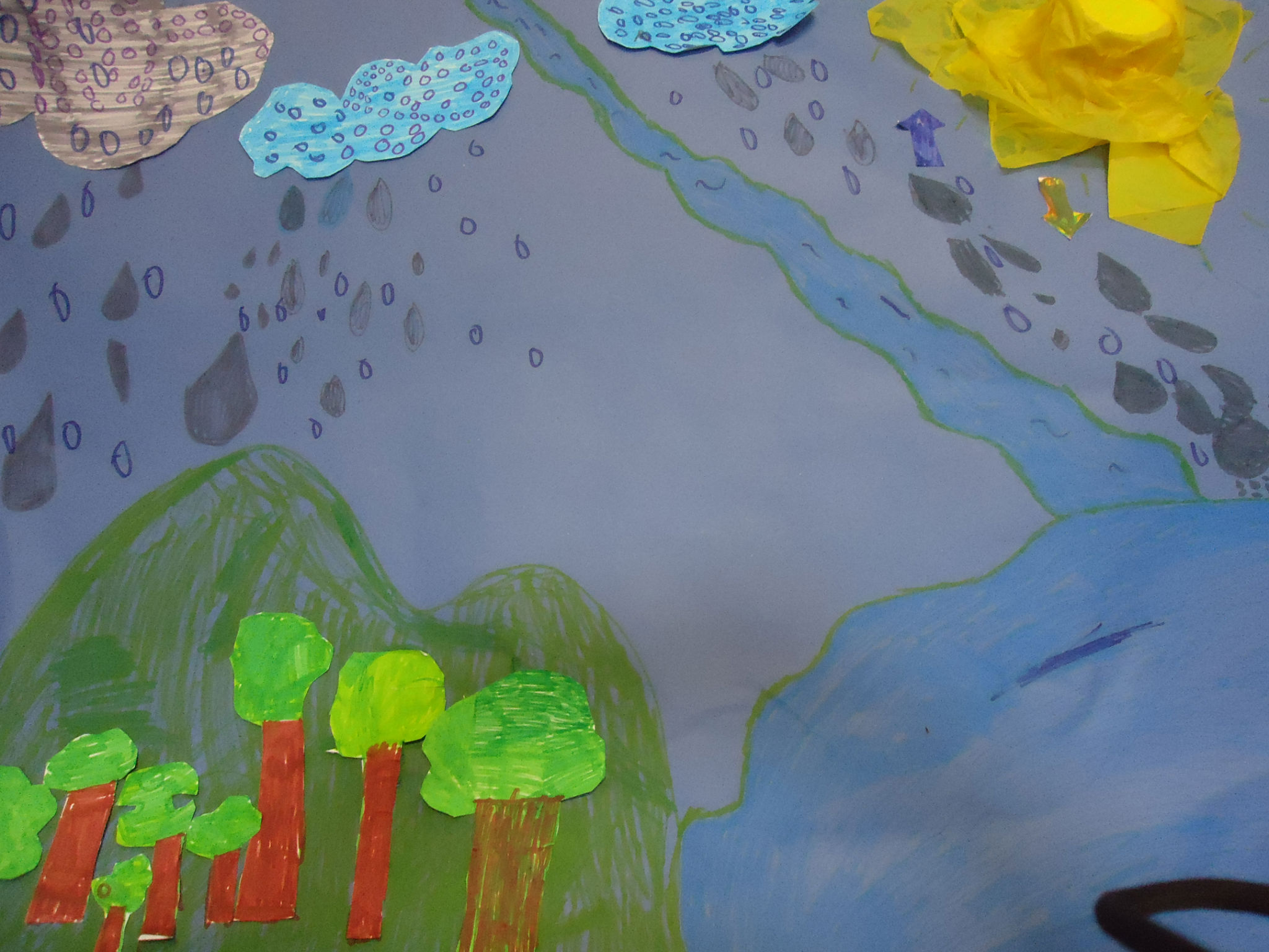
Well it’s New Year’s Eve, December 31st 2012, and once again it’s raining… When we decided over a year ago to pursue a project exploring and dramatising water stories in the Shipley area, we had no way of knowing that this would turn out to be the wettest year on record here in England… As if to mark this fact, our esteemed Prime Minister went and got himself all wet just the other day (December 27th) on the annual “Great Brook Run” in Chadlington, Oxfordshire…

Check out the wild-eyed grin of a man finding himself in deeper water than expected… The Met Office reports that, since records began being collected just over a century ago, in 1910, six of the UK’s ten wettest years have occurred since 1998. That’s a pretty striking figure, which would appear to suggest that our climate is changing for the wetter… Scientists anticipate that the effects of climate change, here in the UK this coming century, will probably be primarily “hydrological”: that is, more than feeling markedly hotter or colder, we will find ourselves getting either a lot wetter, and/or suffering more from drought…

That said, the Met Office is careful to specify that Britain has always seen periods of wetter and dryer weather in the past, and that it’s difficult to attribute any one weather pattern confidently to the global issue of “anthropogenic climate change”. What we have had this year, apparently, is a “buckled jet stream” – which has meant that wet weather off the Atlantic that normally gets pushed much further north has been hitting the UK on a regular basis…

Thankfully, the Shipley area has not been directly affected by serious flooding this year in the way that some other parts of Yorkshire have been (notably in the Calder and Ouse catchments), but it’s worth noting that the River Aire has exhibited a broadly similar pattern of high water to other parts of the UK since 1998… Water levels on the Aire are gauged downstream at Armley, and this graph shows clearly how the last decade or so has seen especially high water levels…  

This graph is taken from the National River Flow Archive and you can clearly see how the year 2000 – the year a really big flood hit Shipley in October – almost broke the scale. Water flow on the Aire hit as high as 250 cubic metres per second (see horizontal graph side), in comparison with an average (median) flow of just under 140 m3/s. The years 2007-08, when further high water was experienced in the area, also figure prominently on the chart (exceeding the levels experienced in the – nationally very wet – year of 1968). This pattern broadly squares up with the country-wide figures. In the UK as a whole, 2000 and 2008 were the wettest years on record prior to this one – apart from 1954. If you take England separately, it’s 2000 and 2002 – separated only by 1960 and 1912.

The other thing that’s changing, though, is the predictably of when in the year rain will fall. Remember all that concern earlier this year about potential drought and water shortages? It seems laughable now, but the issue had been a lack of winter rain over several years – the season during which rain stays in the ground and is stored for future possible use. Summer rain, by comparison, tends simply to get evaporated or drain away quickly, so it’s less use to water companies — and of course it was summer rain that caused all the flooding problems in Hedben Bridge and elsewhere this year. The graph below (again from the Armley gauge figures) collects the monthly flow rates from 1961 to 2010, and shows the normal, expected pattern of more rain falling in the winter months…

This year, by contrast, the river flow was so high in the summer, that the flood-gates on the Aire-Calder Navigation had to be closed during August – an unheard-of eventuality.

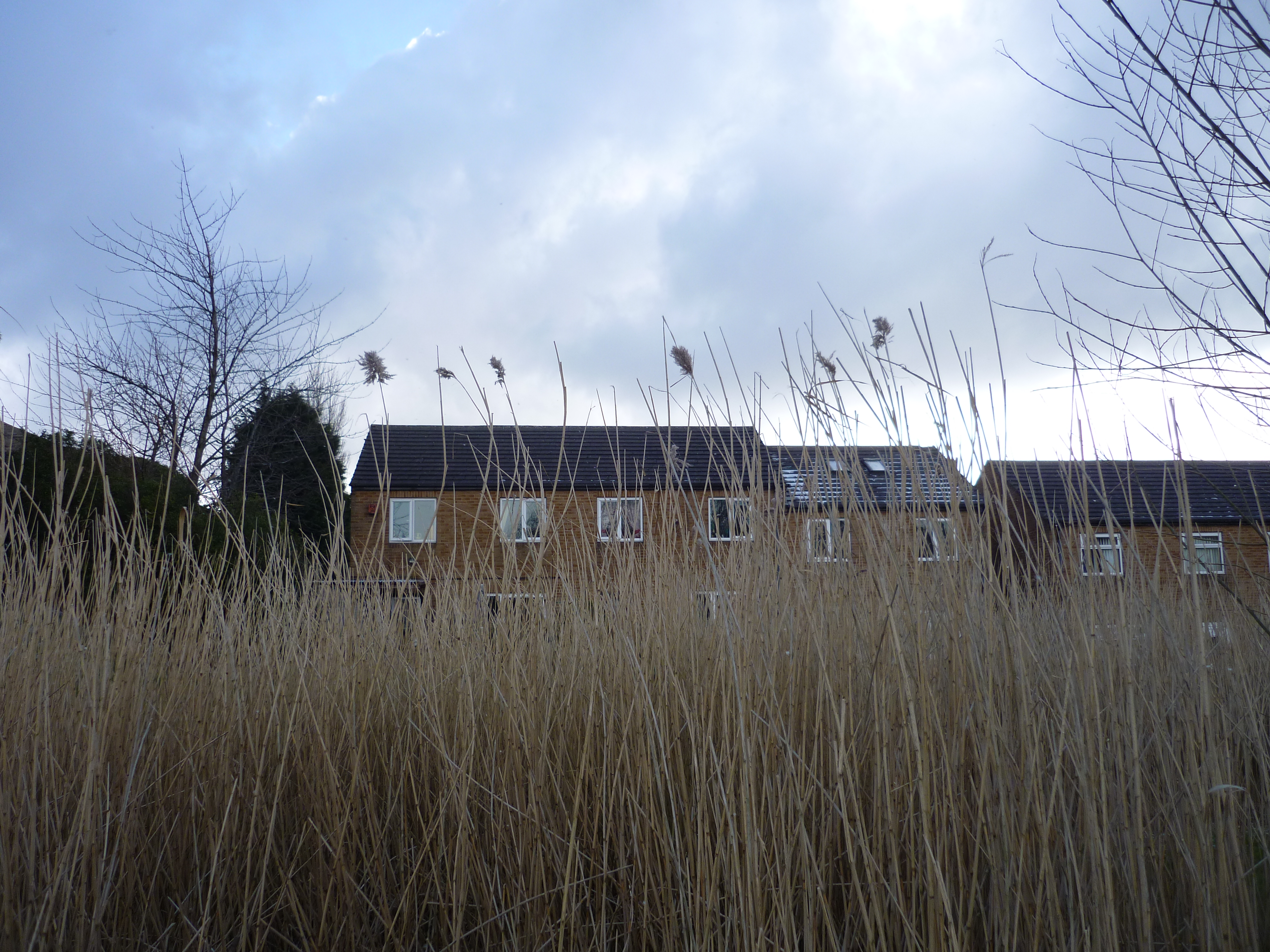
If you’re bored by all these statistics, a more entertaining picture of high water levels on the Aire emerges from the pre-1910 records collected in the British Hydrological Society’s British Chronology of Hydrological Events – where you can find a collection of narrative accounts from earlier centuries…. Obviously, this is patchy, unreliable story, because nobody was recording this stuff systematically back then. But some of the stories make for great reading. In what follows, I’ve highlighted some particularly soggy years in the Aire catchment… Many of these are accounts of events in Leeds (more people around to record them…), but of course high water in Leeds is a sure sign that there’s high water upstream in the Shipley area too…

1767 (August)  The river level in Leeds, we are told, “rose six feet in a single hour.” (Wow!)

1775 (October) A deluge lasting 36 hours left the whole riverside area in Leeds under water: “large quantities of grain deposited in Warehouses were washed away . . . several dwelling houses and dye-houses suffered greatly, dyeing vats being torn out of their places; the pavements in the streets broken up; walls thrown down; cows, horses and sheep forced into the water and drowned.”

1799 The River Aire was again “much out of its boundaries”, although the real story that year (as this) was to the south in the Calder valley… “The River Calder was never known to have been so high in the memory of man; and about Wakefield, and all the places near that river, considerable damage has been sustained.”

So the closing decades of the 18th Century were quite eventful. Then it all seems to go very quiet until the later stages of the 19th…

1866 (November)  Serious flooding affected the City of Bradford (Bradford Beck broke its banks) and the Aire Valley as a whole…  Four miles downstream from Shipley, at Apperley Bridge, the force of water flow caused the river to overflow its banks to a width of half a mile (!), and the water pressure seriously weakened the viaduct that carried the Midland Railway’s line from Leeds to Lancaster. The damage, the records tell us,

The viaduct at Apperley

“was discovered that night [November 16th] by a platelayer returning home, who was walking over the viaduct when suddenly he all but fell into a rent that had appeared in the masonry of one of the arches. He had to jump across, then hurried on to Apperley station, where the stationmaster arranged to stop down trains; then both men and a porter rushed back along the line to halt an up goods that was due. Even before they reached the viaduct they saw it approaching on the far side. They waved red lights, and the driver spotted them and shut off steam; the fireman applied the brakes, and both driver and fireman then prudently jumped off. Propelled by its heavy train the engine ran out on to the broken arch of the viaduct, which, as F. S. Williams puts it in The Midland Railway, went down like a pack of cards. It carried with it engine, tender, guard’s brake, and a trainload of meat intended for the London market.”

Sounds like there were a lot of temporary vegetarians in London after that, but miraculously nobody was killed. Meanwhile, another bridge structure over the Aire that was permanently damaged by flooding that year was Leeds Bridge (the ancient crossing point first mentioned in documentary records as far back as 1383): “After the great flood of 1866 the Town Council decided to replace it with the present single span iron structure, designed by T. Steele of Newport, which opened in July 1873.”

1884 (Summer)  The problem that year wasn’t flooding but drought. Between February and September, there was so little rainfall that, we are told, “the five inches of rain in July scarcely stirred the tributaries of the river Aire, the land having become so dry.” Indeed, water levels on the Leeds-Liverpool Canal were so low in these conditions that boat traffic stopped altogether that summer at Otterburn-in-Craven (up in what is now the BD23 postcode area… close to where the canal peaks over the Pennines, and is fed by a reservoir system flowing downhill both west and east… but not that year!).

1886 (May)  Once again, we’re told, “rivers and their tributaries which were flooded and overflowed their banks [included] the Aire, Calder, Derwent (Yorks).”

1892 (October) An observer in Horsforth named Oliver Hill noted  “extraordinary rain, 6.96 inches falling in three days [13th-15th], causing floods in the Aire valley. At Kirkstall Station the water stood 15 inches above the rails.”

1900  (July)  Rainfall exceeding one inch in 24 hours was measured over an area of 1000 square miles in Yorkshire and Derbyshire on July 12th, with falls of more than three inches occurred over about 60 square miles. Widespread flooding and chaos cost the lives of 21 people in Leeds, Dewsbury, Keighley, Ripponden, Wakefield and Otley. Bradford, however, did not lose a life to the storm, despite ‘almost continuous’ lightning and thunder which was ‘a constant roar’. The flood damage, however, was considerable. In its bowl of hills, with only the narrow channel of Bradford Beck to absorb the water pouring in from all sides, the city (established as a city only 3 years earlier) was ill-equipped to deal with the deluge. The city centre was overrun by a “dirty flood”, and although this drained away into the ground a few hours, almost every cellar in the area remained flooded: a foot of water stood for a long time before dispersing, so that businesses were left counting the cost. Meanwhile, on the Canal Road stretch of Bradford Beck, leading north to Shipley and the Aire, some of the Beck’s containing walls collapsed, and the sewage works at Frizinghall overflowed, sending foul effluent downstream to Shipley.

The epicentre of the July deluge, however, was over Rombald’s Moor – the moorland area separating the Aire Valley at Shipley and Baildon from the Wharfe Valley at Ilkley (it includes the areas popularly referred to as Baildon Moor and Ilkley Moor). An Ilkley rain-gauge recorded 5.40 inches of rainfall that day, and – more precisely – “Mr Worfolk at Brook Street, Ilkley, recorded 3.75 inches in one hour and a quarter, between 2 p.m. and 3.15 p.m — an intensity never before recorded in this country as having been maintained for so long a time.” The worst of the storm run-off from the moor also seems to have flowed north into Ilkley, coming down particularly via Spicey Gill (also known as Parish Gill Beck), which runs into the middle of the town before intersecting with the Wharfe. Records show that

Spicey Gill looking harmlessly dry on its way to Ilkley…

the first bridge where the Keighley road crosses [Spicey Gill], was carried away, [with] some parts of the Keighley road being covered to a depth of four feet by boulders…the largest of them measuring 4 ft. by 3 ft. by 3 ft….The whole valley of Spicey Gill above this point , though barely a mile in length, was completely changed, some parts of the deep narrow ravine were hollowed out, …while other parts were blocked up with the accumuated rubbish, and the stream diverted….. At 4 pm the swollen beck, washing against the wall of Mr Brogden’s coach-building shop in Bolton Bridge Road, caused a sudden collapse of the building in which Mr Brogden, junior, having delayed his escape for a moment in order to warn the workmen out of their workshop, was killed by the falling roof…

Following this deluge, everything in Ilkley was left covered with a layer of black mud, of between 12 and 18 inches in depth!  Meanwhile, the same cloudburst over Romald’s Moor also caused Morton Beck (which flows south into the Aire in the Bingley area) to burst its banks, “sending torrents of water on a destructive rampage down to the River Aire” and badly damaging homes in Morton village. Nor was it only water that caused damage during the storm. West of Shipley, in Wilsden, four cows were struck dead by lightning as they stood in a field. Further west still, at Oxenhope, farmer William Smith was – we are told – “struck speechless” by lightning as he sat in his house… though fortunately he lived to, er, tell the tale…

1903 (October)  Further flooding seen on the River Aire.

1908  During another day of summer thunderstorms – albeit not quite as severe as the one in July 1900 – more than an inch of rain fell over 100+ square miles of Yorkshire. The most intense rainfall, over four inches of it, fell in another moorland cloudburst, this time in the vicinity of the Barden Reservoir. Located in what is now the Yorkshire Dales National Park, this is the source of the Barden Aqueduct (constructed in 1850), which runs south east all the way into Bradford to provide the city’s water supply – running via Bolton Abbey and indeed Saltaire (where it crosses the Aire at the corner of the Higher Coach Road housing estate). Up at the aqueduct’s source on Barden Fell, records tell us,

Lower Barden Reservoir

channels cut out in a few hours by this storm were in some cases excavated to a depth of 20 feet in the solid grit, and the breadth in some cases was 12 feet. The water level rose 10 feet in Barden Beck, and much damage was done to the waterworks at Barden reservoirs, though the main retaining dams were too solidly constructed to give way… In Far Long Gill, another lateral stream flowing down to the reservoir on its south side, where the branch pipe-line is carried by a bridge over the stream, the flood took away the bridge, but happily did not carry the pipes with it…. By far the worst damage, however, has been done at the head of Lower Barden Reservoir: the debris brought down by the flood rapidly filled up the residuum lodge, burst through the embankment, and so forced its way direct into the main reservoir, carrying with it an enormous mass of sand, estimated at something like sixteen thousand cubic yards in volume…..’

1909 (December)  An observer at Shipley noted the “highest flood in the River Aire since October 9th, 1903.”

… And that’s as far as the “British Chronology” takes us, because it was in 1910 that rainfall began being officially recorded by the Met Office, and we stop having to rely on these more fragmentary (though often fascinating!) accounts of unexpected water events…Though we know, of course, that heavy flooding was experienced in the Aire catchment in 1947 also: in Shipley the floods that year were the worst in living memory, until those that occurred in 2000.

And in conclusion…? Well, looking at this chronology, we’re perhaps necessarily reminded of the circumspection shown this week by the Met Office. If the weather has been exceptionally wet this year and in other recent years, we can’t attribute this conclusively to “climate change” because history has seen other periods of more intensely screwy weather too… It would appear, in fact, that in the Yorkshire area the floods of 2000 and 2008 were foreshadowed exactly a century earlier, in 1900 and 1908, by particularly intense and destructive rainfall events. Indeed, the 3-decade period from the 1880s to 1910 seems to have seen more chaotic rainfall events than had occurred during the whole of the preceding century (although this might in part be because recording methods were becoming more reliable?), or indeed during most of the rest of the 20th century.

Are we in another such period of cyclical wetness now? Or is this current streak symptomatic of worse to come this century, as many scientists predict? It’s too early to say with any confidence, but we’d surely be as well to take more precautions than Mr. Cameron’s government is currently considering… Flood defence spending has been massively cut by the coalition (down from £354 million on new projects in 2010-11 to around £259 million in 2011-12). After a year in which the Environment Agency felt obliged to issue flood warnings to around 200,000 UK homes, the Chancellor’s autumn statement contained measures to reverse some of the cuts, but according to the government’s own advisory body on adapting to climate change, there is now a funding gap of almost £1 billion opening up between what is needed to keep properties protected and what is being spent in the next few years. Stand by to get wet.


Up the Junction

Picture by Yvonne Roberts

The Junction pub – pictured here in the distance at the top of the two rows of Lower Holme’s former mill cottages – was last night the venue for a second meeting between Lower Holme residents and developer James Marshall. The first was held ten weeks ago, just two days after the conclusion of our September performances of Multi-Story Water‘s “Red Route” tour – a walk beside canal and river which finished at Lower Holme and told audiences the story of how the former mill site (once owned by Titus Salt himself – and some believe he initially meant to put Salts Mill here…) has been left abandoned and derelict since the mill buildings were demolished in 2006.

One of the more unanticipated outcomes of our research for the performances was that, having met James at his family’s company office in Elland, I was able to set up contact between him and the residents. James is looking to build a Wickes DIY store and a KFC fast food outlet on the derelict mill site, and the normal planning procedure would simply require him to post the plans publicly (online, and at Shipley Town Hall), and then deal with any objections that individual residents lodged, as they arose. Everyone concerned thought there was a better way to do this, and James – to his great credit – was keen to meet in person with residents to discuss their concerns and address them where possible. Of course, none of the residents is particularly thrilled with the retail plans for the site, but proper development of the site is generally recognised as being a vast improvement on the ugly metal fence left up by former site owners Mandale for the last six years…

Now, this might seem to have little to do with “celebrating Shipley’s rivers” (as per our Multi-Story Water project objectives), but Lower Holme’s past and present circumstances are integrally related to the close proximity of the River Aire. The mill was originally built here (by CF Taylor, who bought the site from Salt) in order to make use the water supply, and the current proposal for commercial development is again a consequence of the river being there. Mandale originally wanted to build residential properties on the site (presumably because they were considered more profitable), but that planning application was (according to campaigning resident Margaret Wright) rejected on nine counts — not the least of which is that the entire site is located on a flood plain. So it was back to retail sheds and car parking space…

I was asked to by Heather Moxon (who has worked tirelessly – with Margaret and others – to rally other Lower Holme residents around to present a collective front) to act as an independent chairperson at both the Junction meetings. At the first, back in September, amidst torrential rain (up in North Yorkshire, the Ouse was flooding that week…), we had a packed room full of residents all wondering who Mr. Marshall was and what he was up to. He had sensible answers to most of the more pressing questions about noise, light pollution and rubbish from the retail site encroaching on the residential area, and he even repeated his willingness (first mentioned to me in Elland) to put fresh tarmac on the heavily potholed road running down the eastern side of the site – in front of the odd-numbered houses. The cost of this is close to £40,000, and he doesn’t have to do it at all – he doesn’t even own the road – but it’s a gesture of goodwill towards the residents (as well as, obviously, creating a consistent level of road quality around the site – which James no doubt prefers on aesthetic grounds as much as anything). Most of the residents seemed very satisfied with this at the September meeting, but a lot of questions were left hanging about how exactly the new road layout would work: would it be one-way, two-way, how would access be guaranteed in and out for residents without it becoming a ‘rat run’ for Wickes customers dodging the traffic lights, etc. etc. The crowdedness of the room, and the fact that not everyone could see the plans clearly, or hear all of the conversation, left a clear sense that certain things were unresolved.

James and his architect Tony went away, spent a long time wrangling with the highways people about access points, traffic islands and lane layouts on the main road (apparently he’s going to have to pay about £50,000 for ongoing maintenance of traffic lights that aren’t even his!), and then proposed a second meeting down the pub. So we duly reconvened last night. This time the room was bigger, the pool table provided a much better surface for laying out plans, and less of the residents turned up anyway (presumably happy for the dedicated few to do the remaining wrangling over detail). So we were able to have a much more structured conversation about the key outstanding issues… although that’s not to say that we didn’t have plenty of passion expressed and go down plenty of side-alleys (a couple of them I introduced myself…). But we did reach agreement that everyone in the room was satisfied with, which seemed like quite an achievement, all things considered.

Partly for the sake of recording those agreements in a public forum, for the record, I’m going to outline what was agreed. The main debate revolved around this diagram:

The existing road around the Lower Holme mill houses will become the stretches marked in red and pink. The pink represents fresh tarmac. The red represents the area where existing cobbles will be maintained and restored for conservation reasons (a stipulation of the planning authorities). The new road entrance to the retail areas (just below the red bit in the diagram) has now been agreed with the highways people, so the top end of Lower Holme’s even-numbered side will now be blocked off from the road (where the greenery is), leaving the cobbled street as parking space for residents only. Additional parking spaces for residents have also been made available in the area to the right of the pink strip in this diagram. Originally James intended this for use by the “Office Unit”, but he agreed at the September meeting that more residential parking was a real need (since there were only ten spaces for fifteen houses on the even side).

Last night, the first thing raised by residents was the cut-in road access between the sections of greenery shielding the houses from the retail site. This had been provided for ease of circulation for residents, but the clear consensus of the meeting was that it was not required. Having this bit open would simply encourage unwanted short-cutting by KFC customers (particularly those on foot), potentially creating a significant litter problem in front of the houses. Residents much preferred that a solid wall of green screening be maintained down the length of the road, even though this will require them to drive a bit further round to get to their parking spots. James and Tony were happy to agree to this.

The more complicated issue was road access around the pink section. Did residents want to maintain two-way road access (as currently), and rely on “Residents Only” no-entry signs to deter potential short-cutters and rat-runners? The alternative was to create one-way access at the point where the pink road opens onto the new retail site’s access road. That is, residents would be able to get out here, but one-way floor spikes could stop Wickes customers getting in (to circumvent the traffic lights… although some doubted that they would do this, since drivers would then simply be presented with another obstacle – a difficult right turn to head east towards Charlestown). For a brief moment we considered one-way access in the opposite direction, preventing access from the main road onto the odd-numbered side of Lower Holme, but this was quickly dismissed because (a) this side, running down to the footbridge over the river, is a public highway so can’t legally be blocked, and (b) all residents would have to enter Lower Holme through the retail area, which was not an attractive option.

After much to-ing and fro-ing, those present eventually agreed – and unanimously – that the preferred option would be to prevent any access from the retail side by both narrowing the access point to a single lane, and putting in one-way access spikes. Meanwhile residents were happy that No Entry signs at the top of the odd-numbered side, by the main road, would adequately deter unauthorised traffic from that direction.  It was agreed that this ‘one-way’ plan was the best way to ensure that noise and nuisance was kept to a minimum (in practice, residents will still be able to get up and down the old streets in both directions – they just won’t be able to enter from the retail side). Again, James and Tony agreed to the residents’ request on this.

At this point, it looked like we had agreement. Then a bit of a spanner was thrown in the works by one of two representatives from Baildon Parish Council who were in attendance (a man named Ian whose surname I missed). He put it to the residents that, if James was re-tarmacking the road, this was the best possible moment to push for Lower Holme to be adopted by Bradford council. Since so many of the residents’ current problems are the result of it being an unadopted road (it’s deemed privately owned – previously by the mill owners, and now by a complicated mix of James as developer, housing association, and right-to-buy homeowners), having it adopted would solve a lot: proper maintenance of drainage gulleys, emptying of rubbish bins, street cleaning, etc. etc. So shouldn’t the residents push James to bring the road up to the required standard for adoption, Ian argued. James, for his part, pointed out that he was already spending close to £40k on relaying a road that wasn’t even his, and that the other things needed to bring it up to adoption standards (provision of street lighting, provision of new drainage channels, new pavement, etc.) would push that cost up much higher. If pushed to do all or nothing, he suggested, he would have to opt for nothing. The residents could see that this was a reasonable position for James to adopt (why punish generosity by demanding more generosity?), and they certainly did not want to let slip this opportunity to greatly improve the quality of a very degraded road surface. So Ian’s argument was politely rejected… or rather, it was turned around on the council representatives. Since James was doing the tarmac, why couldn’t the council meet him half way and do the rest? The response, predictable enough, was that Bradford has so many unadopted roads that paying to restore and adopt one would be the thin end of the wedge to adopting many more… at a potentially vast cost to the council (a council that is at present, of course, facing massive cutbacks owing to government-imposed austerity measures). So that wasn’t going to happen… much to the disgust of residents who pay the same Council Tax as everyone else, for only a fraction of the services…

In short, then, better to get something done than to ask for more and get nothing done. That was the pragmatic conclusion of the meeting. And with that, we finished our pints and headed off into the night. A good evening’s urban planning completed.

A small postscript here… By coincidence, the other representative of Baildon Parish Council last night was Barney Lerner, of the Aire Rivers Trust (aka Professor David Lerner, of Sheffield University), with whom I’ve met on a number of occasions about the ART’s present project to develop a Catchment Plan for Bradford Beck. A fellow river enthusiast. We were equally surprised to see each other at the meeting, and afterwards Barney congratulated me on my chairing of a meeting that had certainly been vocal and boisterous. “It’s a bit different from our meeting the other week in Saltaire”, he observed, “when everyone was very quiet and obedient.” Very different indeed, but then this was people’s homes we’d been talking about…

I need to catch up on some thoughts about that Beck meeting in another blog post. Watch this space.