Just last week, the new cycle route between Shipley and the centre of Bradford was officially opened. Broadly speaking, it runs parallel with the line of Bradford Beck — which also means that it traces the former route of the Bradford Canal.
This shot looks south down the green space that runs alongside the Canal Road towards Bradford. The canal itself would (as I understand it) have run along on the left, roughly where you see the path, while the Beck — then as now — ran at the bottom of the valley. This is the spot, in fact, where my short film Wading to Shipley begins from – except that in 2012 when we shot that material there was no such clear access to the Beck at this point (that new bit of fence demonstrates that access might be a bit too clear without it!). This next shot is a few yards further downstream past the bridge…
 Here you can see the high retaining wall/flood defence that pens the Beck in at this point. The area to the left (east) used to be an impassable area of undergrowth…

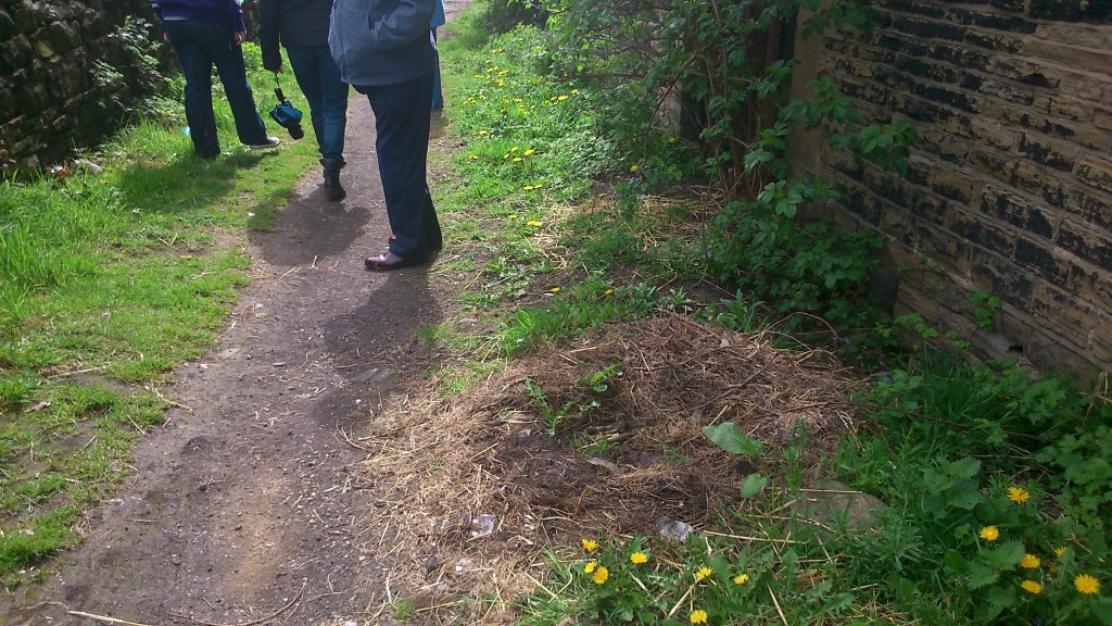
But it’s now been cleared out completely in the construction of this path. Hopefully in due course there’ll be some replanting and other improvement because it looks a wee bit bleak just here…

As you begin to walk towards Shipley, the new path forks neatly in two directions. The main path follows what would have been the route of the canal, while the lower path heads down to a small footbridge across the Beck…
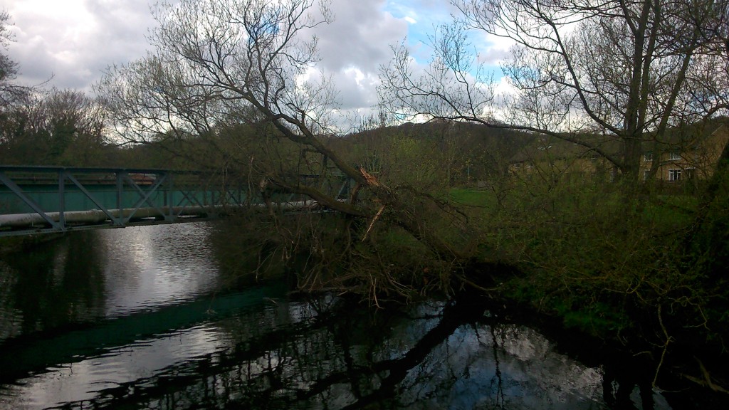
 The bridge has been there for a long time, but access to it — and across towards the station — is now much clearer… also making the Beck that bit more accessible.
 Here’s a close-up of the notice in the last-but-one picture above. Bradford Council (as it has done in other places flagged up on this blog) has taken care to ensure that this new path is designated as a temporary right of way — that no precedent is being set which might, through use and custom, establish this as a permanent public right of way. This means that, in the future, they can choose to close the path, build over it, whatever. An understandable disclaimer perhaps, but a rather disappointing one for anyone dreaming of a greater sense of “public commons” rather than slightly grudging “permission”…
 This shot, taken further along, looks back down the path towards the back of the sign, and Bradford beyond. This might become quite a pleasant, wooded walk in time…
 Further along still, the trees open out and you can look across the valley to Shipley station. Here the Beck is only visible via the retaining wall that cuts across the land…
 And here the path brings us out onto Carnegie Drive, Windhill, looking towards the main Leeds Road — with the railway crossing the bridge to the left… Remember again, this is roughly the trajectory of the old Bradford Canal. And now, closer still to the road, take a look across to the red-brick building just visible, in the middle distance, between the two blue cars pictured below…


The red-brick building, pictured again on the right here (this time we’ve crossed the Leeds Road to the other side), is the old pump house for the Bradford Canal… and the path marked out down the middle of the car park you see here would have been the line of the canal itself… connecting towards the route we’ve just traced.
The pumphouse was built in 1872, by the Leeds-Liverpool Canal Company, after they took over the Bradford Canal. It had been closed for some years, following a major canalside cholera outbreak! The seriously polluted condition of the water was in part due to the poor water supply from central Bradford, as it trickled down through the many locks on the way to Shipley… So the LLCC’s solution in the late nineteenth century was to establish a pumping system that re-cycled water from the Leeds-Liverpool end all the way back up to the Hoppy Bridge end in Bradford….
 Here’s the pumphouse viewed closer up, on Dock Lane — and beyond it the original lock-keeper’s cottage, built in 1774 when the canal first opened. (The first sections of the Leeds-Liverpool canal to be cut in 1773 and 1774 were those between Shipley and Skipton: together with the Bradford Canal branch line, this allowed the first cargoes to be shipped between Bradford and Skipton…)
 And here is all that’s now left of the Bradford Canal — the stumpy-looking mouth opening out onto the Leeds-Liverpool Canal, just a little further down Dock Lane from the pumphouse. So although the new cycle route stops rather abruptly when you hit the Leeds Road, all cyclists need to do is cross over it, whizz down Dock Lane, and then join the LLC towpath on the other side of the swing-bridge… They can then follow the towpath all the way to Leeds if they want — meaning a clear cycle route from Bradford to Leeds, via this northern hinge at Shipley (exactly what the canal system used to do, and what the Leeds to Bradford Forster Square train route still does…). But let’s head back to the pumphouse…
 It’s a simple but also rather beautiful, chapel-like structure which currently stands empty. It had been converted for private residence a few years ago, but then it came up for sale and Bradford Council purchased it strategically — with a view to the so-called “Bradford Masterplan” scheme of 2003 (by architect Will Alsop) which would have involved re-opening the Bradford Canal. So for example the lock chamber behind the pumphouse — pictured below — would have been dug out again and filled with water.
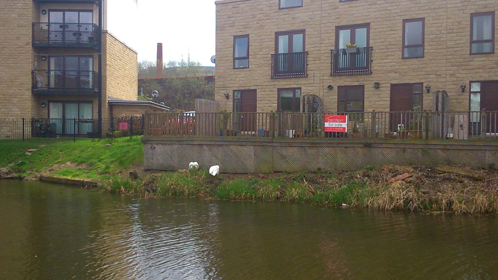
 The white barriers here aren’t original canal furniture – apparently they were put in by the people who last owned the pumphouse, for a bit of, well, fake authenticity… Anyway the point is that nobody is now talking seriously about re-opening the canal, which would be ludicrously expensive (in an age of austerity…) and of dubious economic, cultural or ecological benefit… Much better to treat the Beck properly if you want to make a feature of water along this particular valley… But people in the Council are apparently still talking about the notion of a “conceptual canal” — marking the line of where the canal once stood, by interventions such as the new cycle path. So the pumphouse stands at a strategically important juncture in this “concept”… Let’s take a look inside…
 The building is now subdivided into upper and lower floors, where once it would have just been a single chamber housing a pump engine. The lower floor is currently without light (the windows are shuttered; electricity cut off), but in torchlight you can see some serious bowing in the floorboards that will need sorting out if the building is ever to be useful again… Upstairs it’s much brighter and more welcoming…
 xx… except that it is weirdly subdivided by things like this mezzanine, presumably added to create an extra bedroom space. The master bedroom, pictured in the two images below, is the largest room, but has a very peculiar-looking WC in one corner…


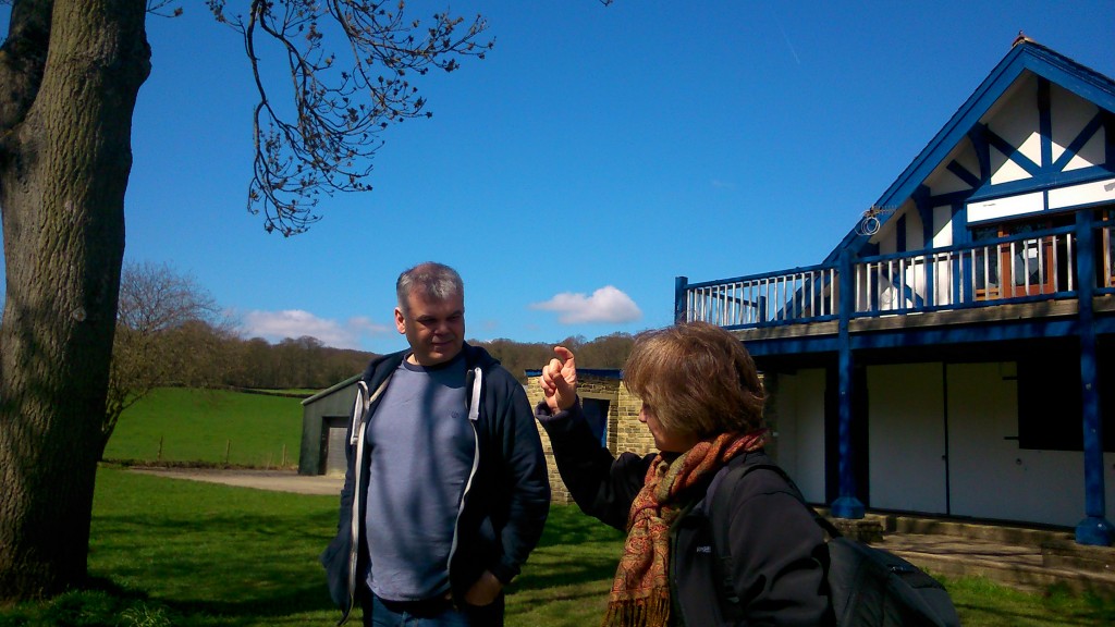
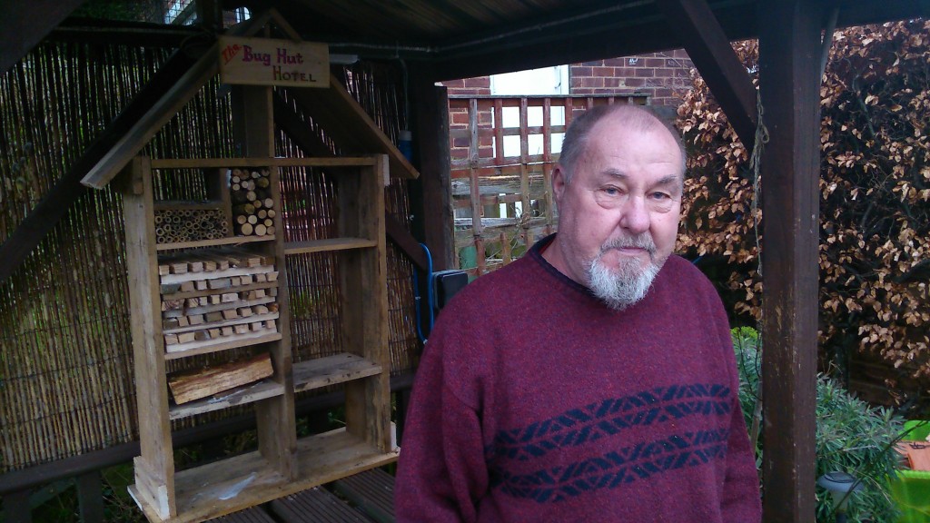
Pictured on the left here is Dave Partridge, Economic Development officer with Bradford Council, who kindly showed us around the building. Dave is interested in the building being used for socially constructive purposes, in line with the “conceptual canal” idea… and so my colleague Trevor Roberts, pictured below, is concocting a little scheme to put the pump house back into use…
 Trevor runs a social enterprise called Canal Connections, which is all about using the waterways to reconnect people and places in novel ways. He sees the pump house as a potential meeting place — a site for conversations, exhibitions, and so forth — that highlight the importance of the waterways to the history, heritage, and perhaps futures of not just Shipley but also — by extension to the south and east — Bradford and Leeds. The pumphouse stands at an axis point, a conceptual hinge if you like. It has spaces that could be put back into social use, both inside and outside. What would you dream up for it, if you were planning Bradford’s “conceptual canal”…?

