Well it’s less than a week until Christmas, and it is mercifully dry outside… and oddly mild for this time of year. The whole country is enjoying a little welcome respite from the seemingly relentless onslaught of rain and storms over the last few weeks, that resulted in particular devastation in Cumbria just 2 weeks ago. The town of Cockermouth, we learned, has now experienced “1 in 100 year floods” a total of three times in the last ten years. Something up with the maths there… and all this as “climate change” was again in the news as the nations of the world met in Paris at “COP21” to try to agree how to apply a sticking plaster to a self-inflicted wound.
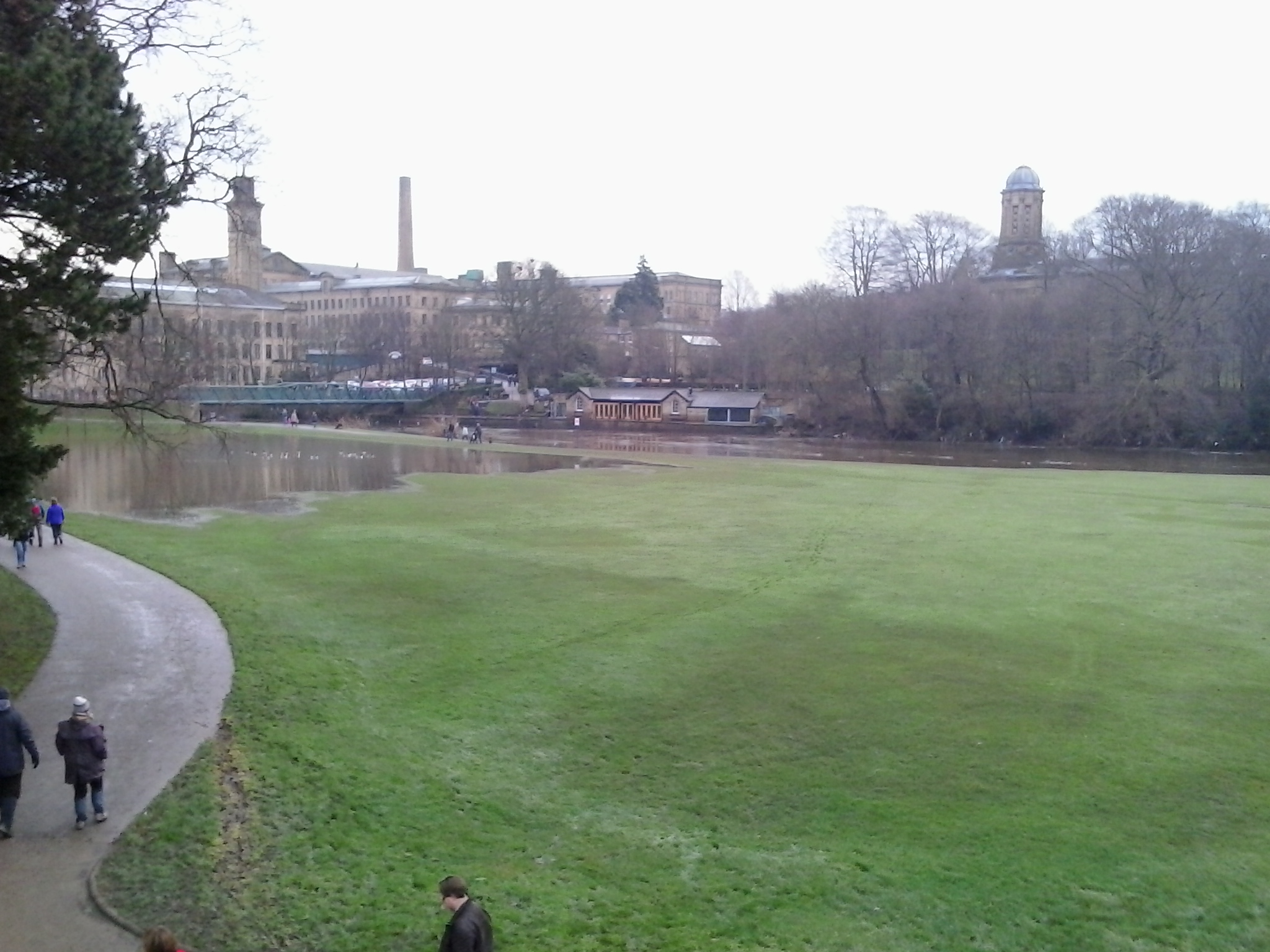
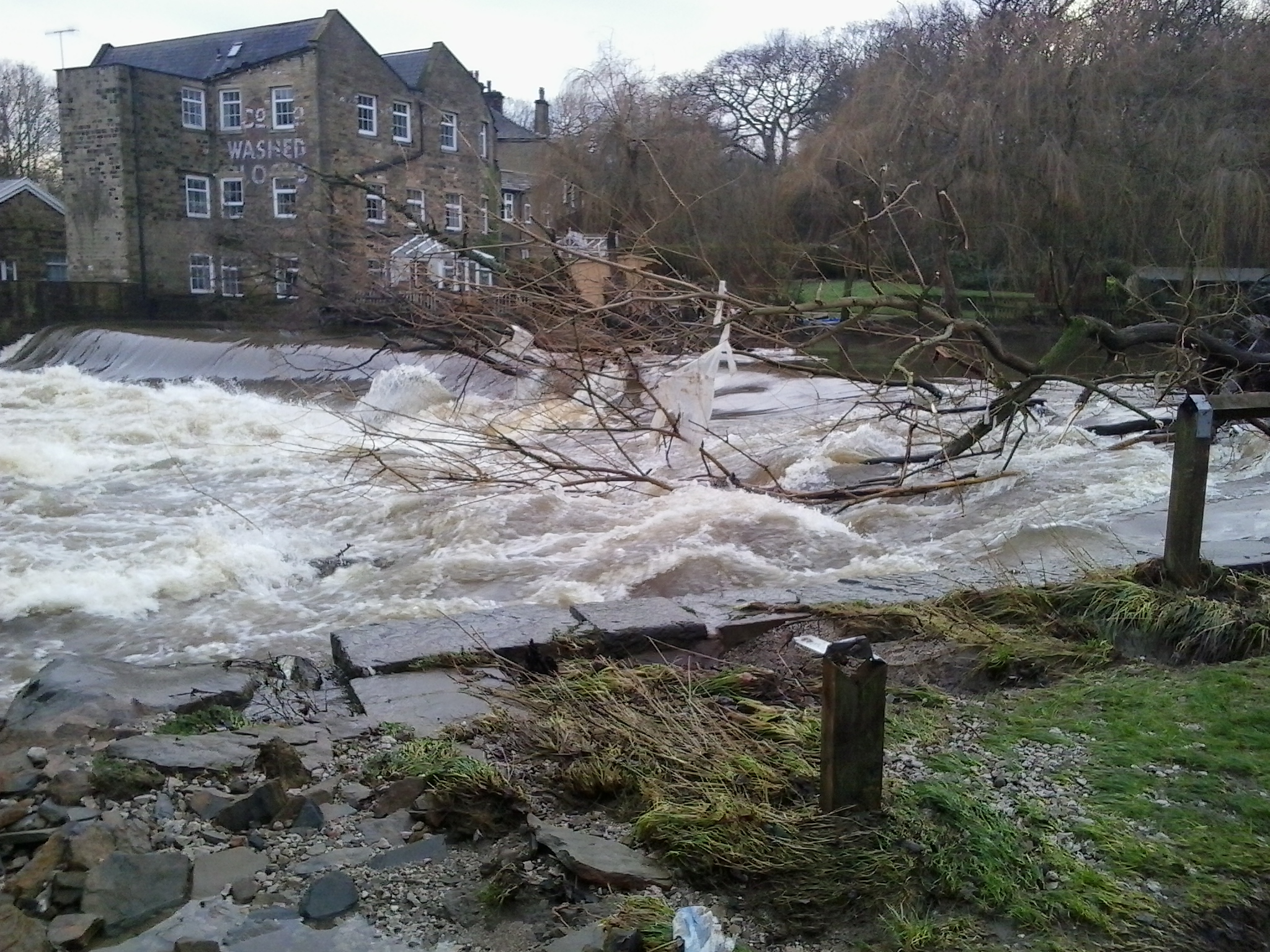
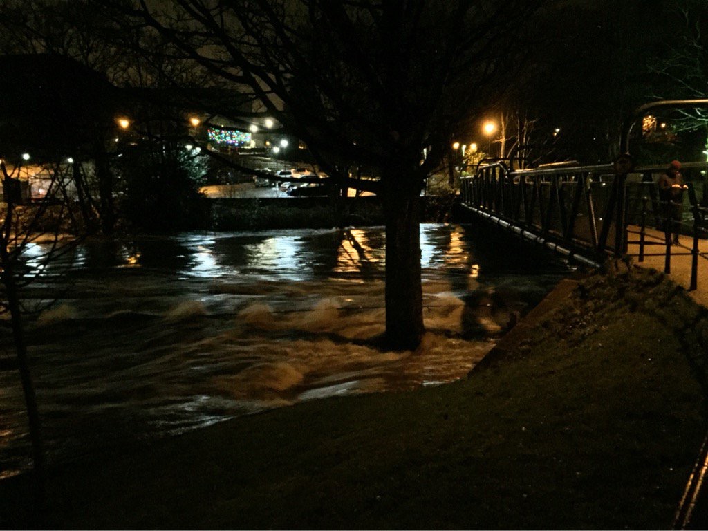
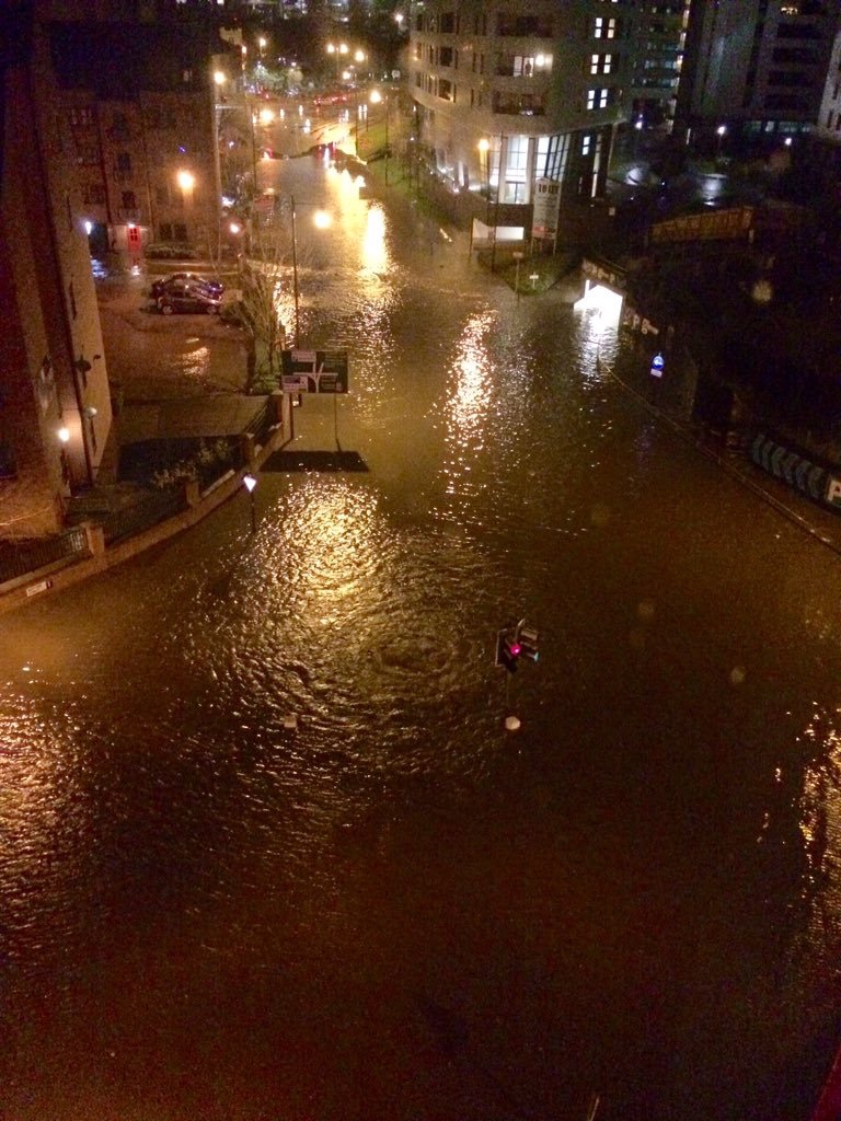
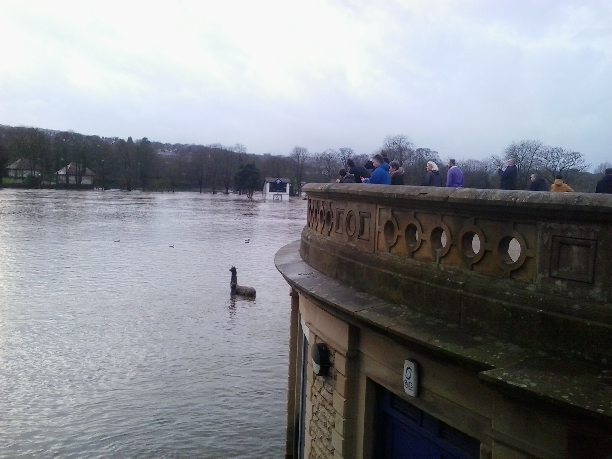
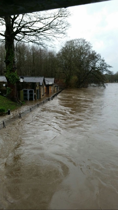
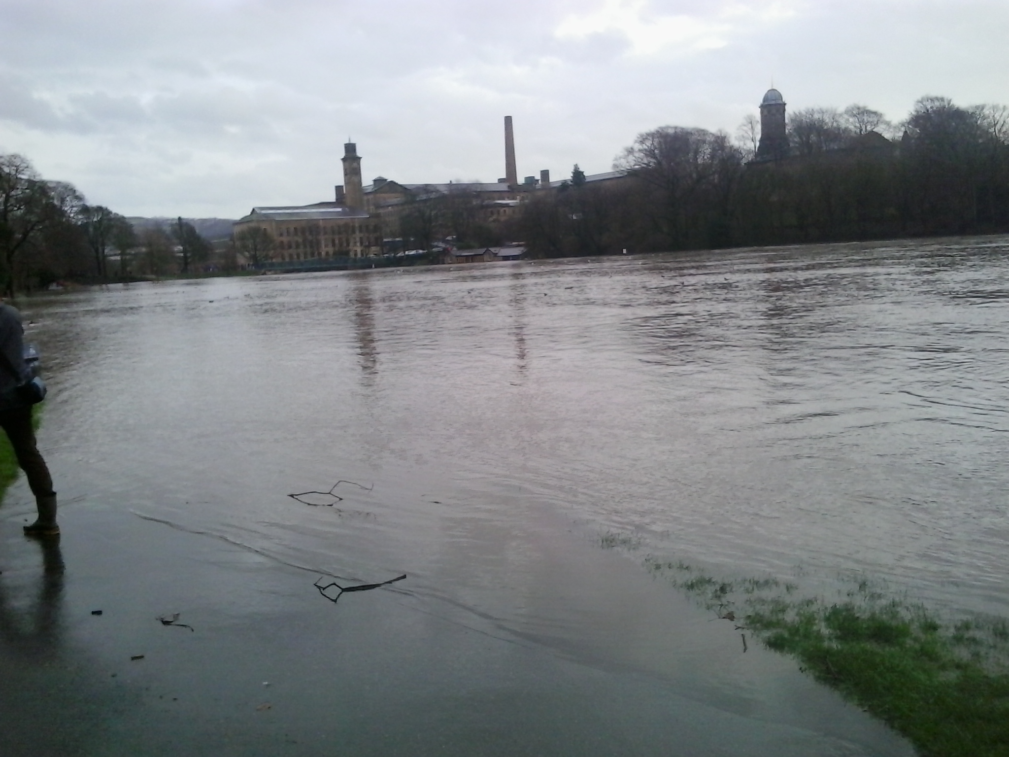
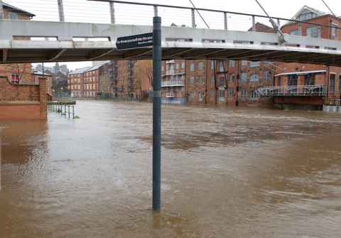
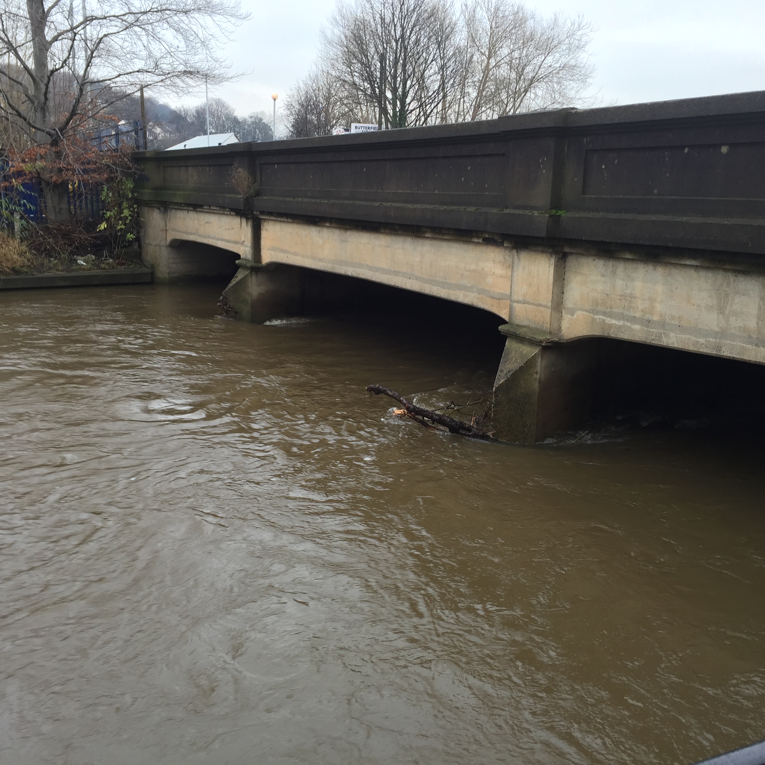
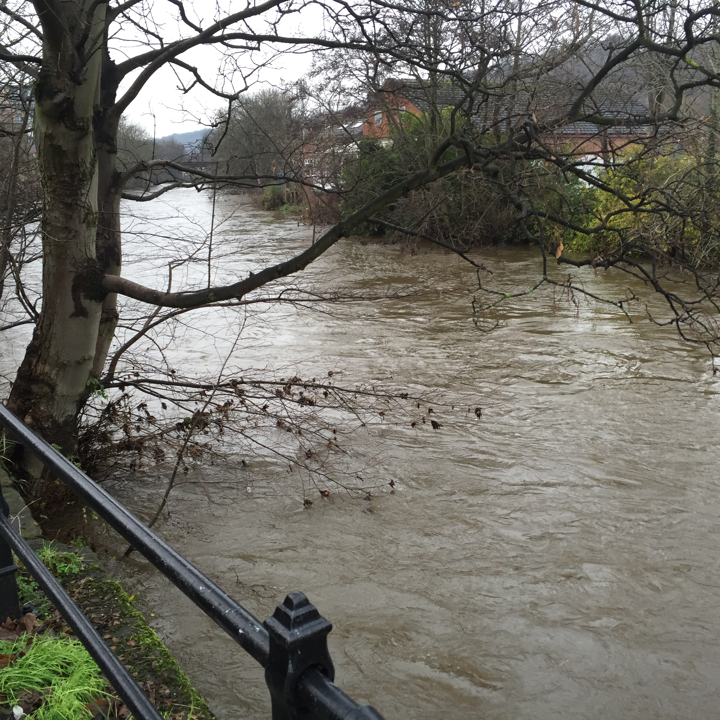
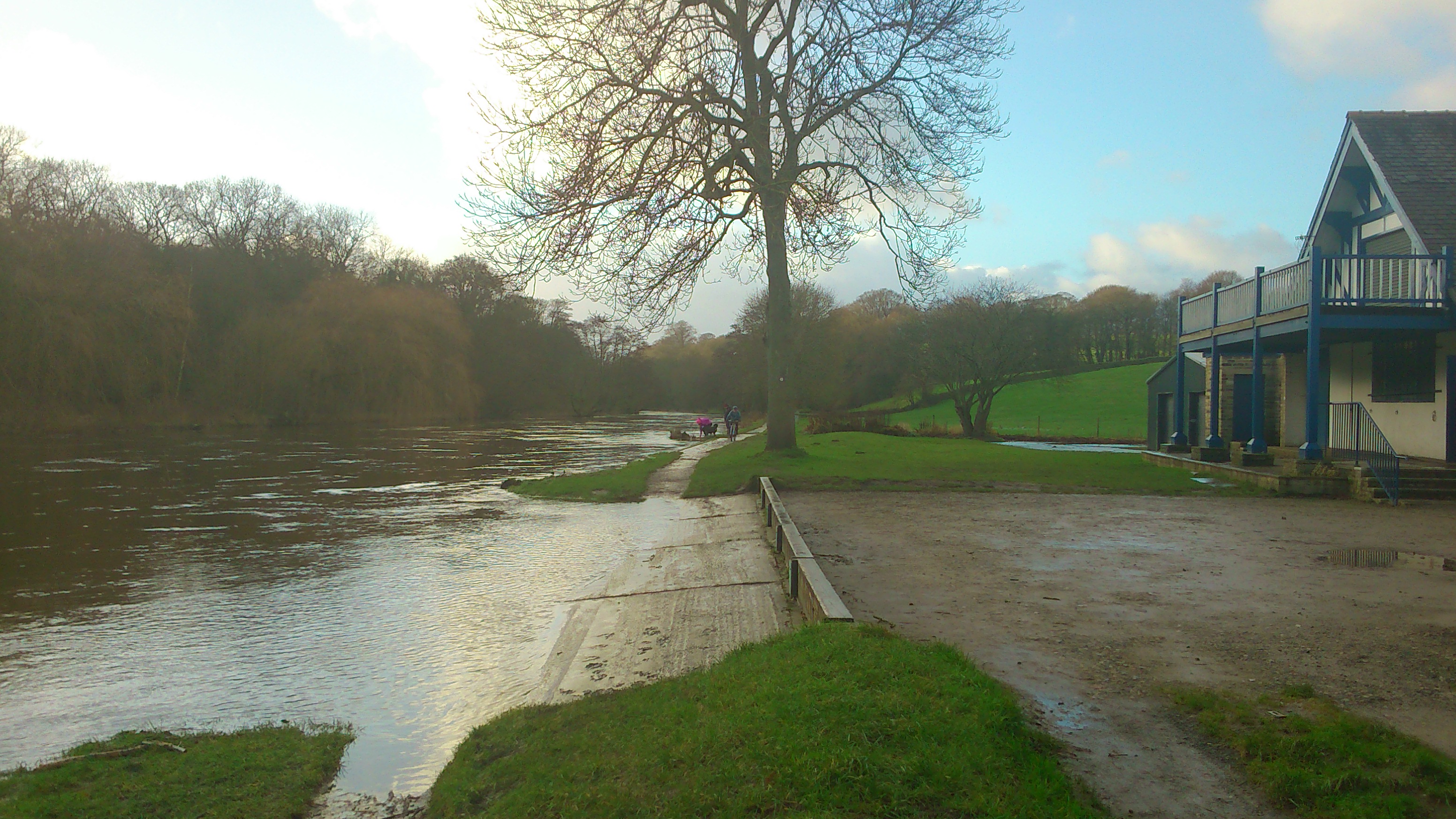
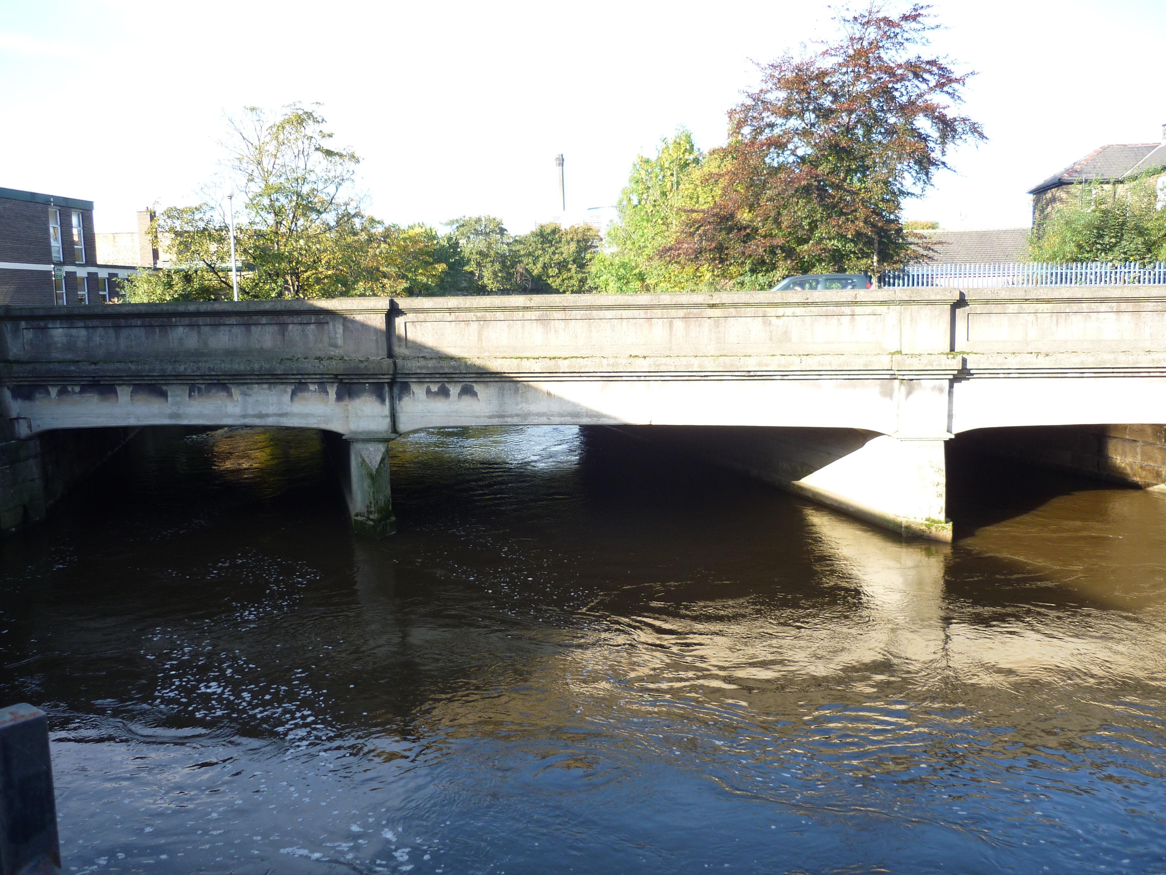
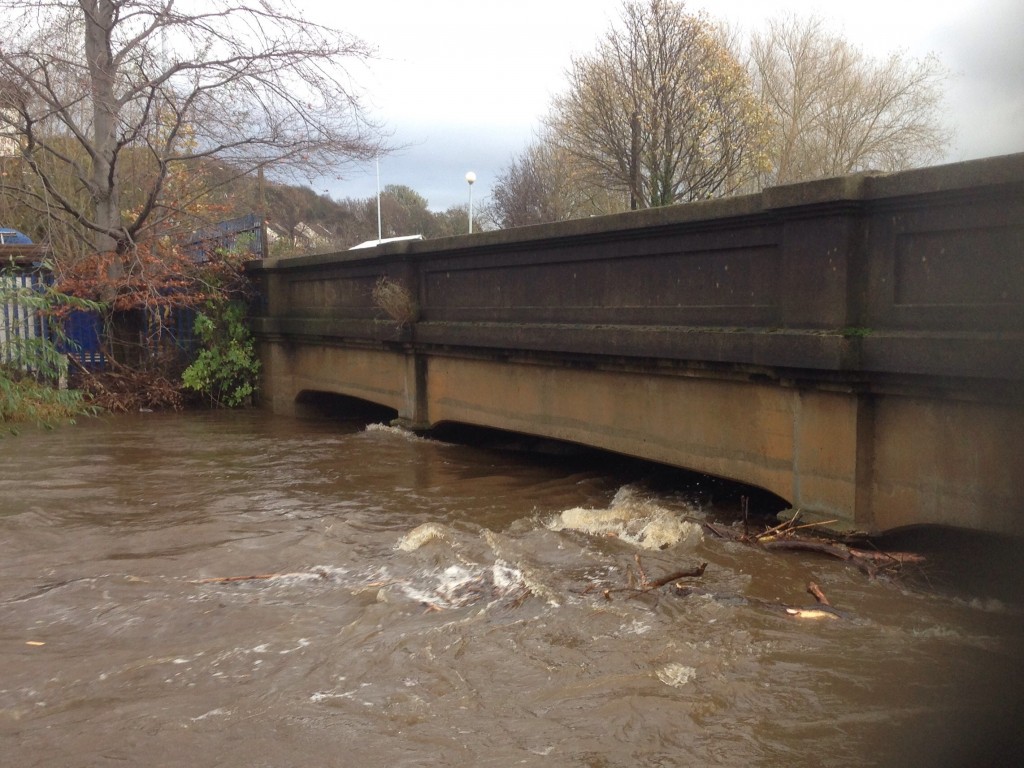
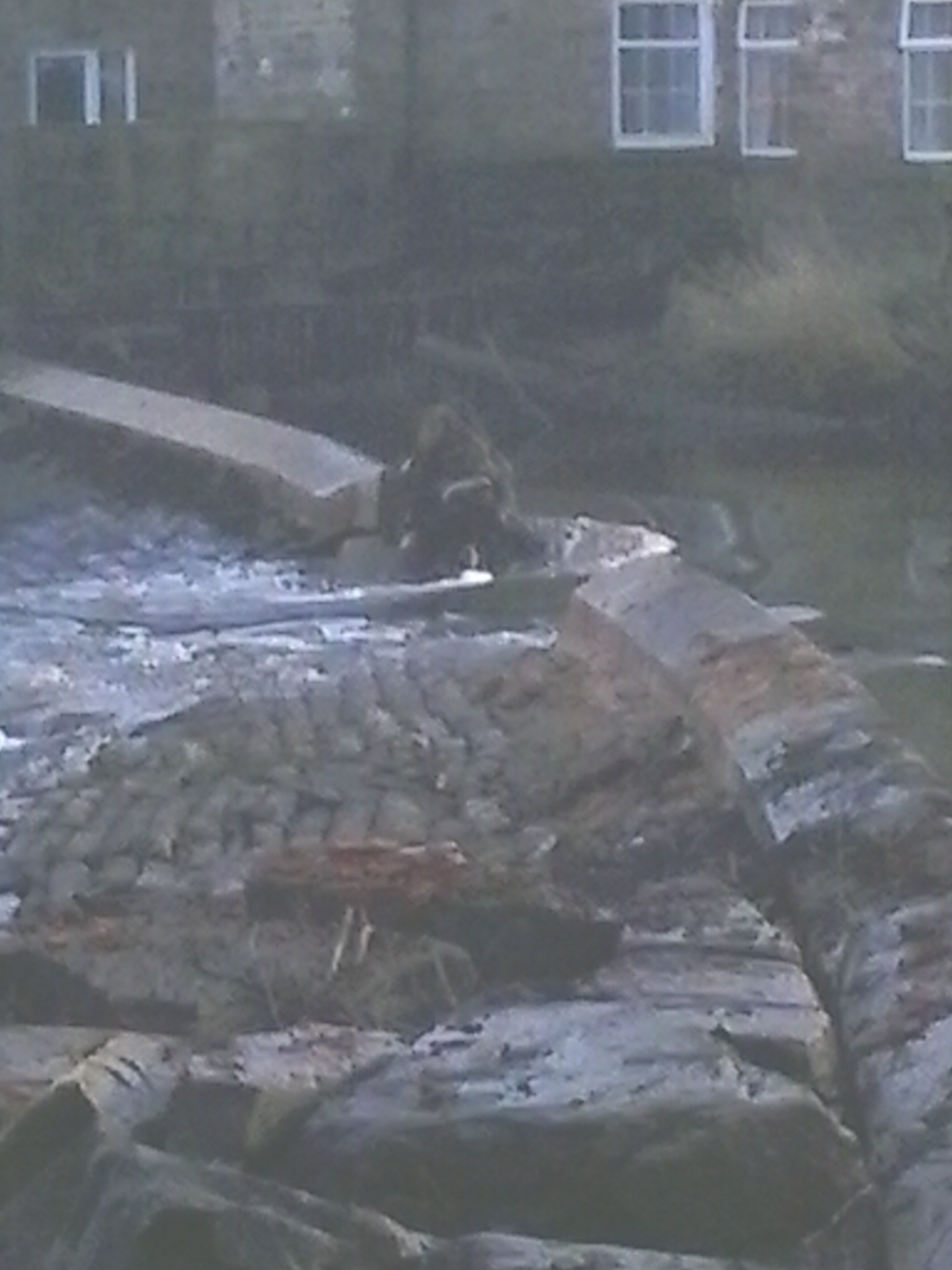
Closer to home, here’s a picture I snapped on my way to Baildon Woodbottom Working Men’s Club (for a Christmas party for Higher Coach Road residents — of which, more in a minute). Note how high the River Aire was, under Baildon Bridge right beside the club… (what you can’t tell, in a still photo, is just how FAST the water was moving!)

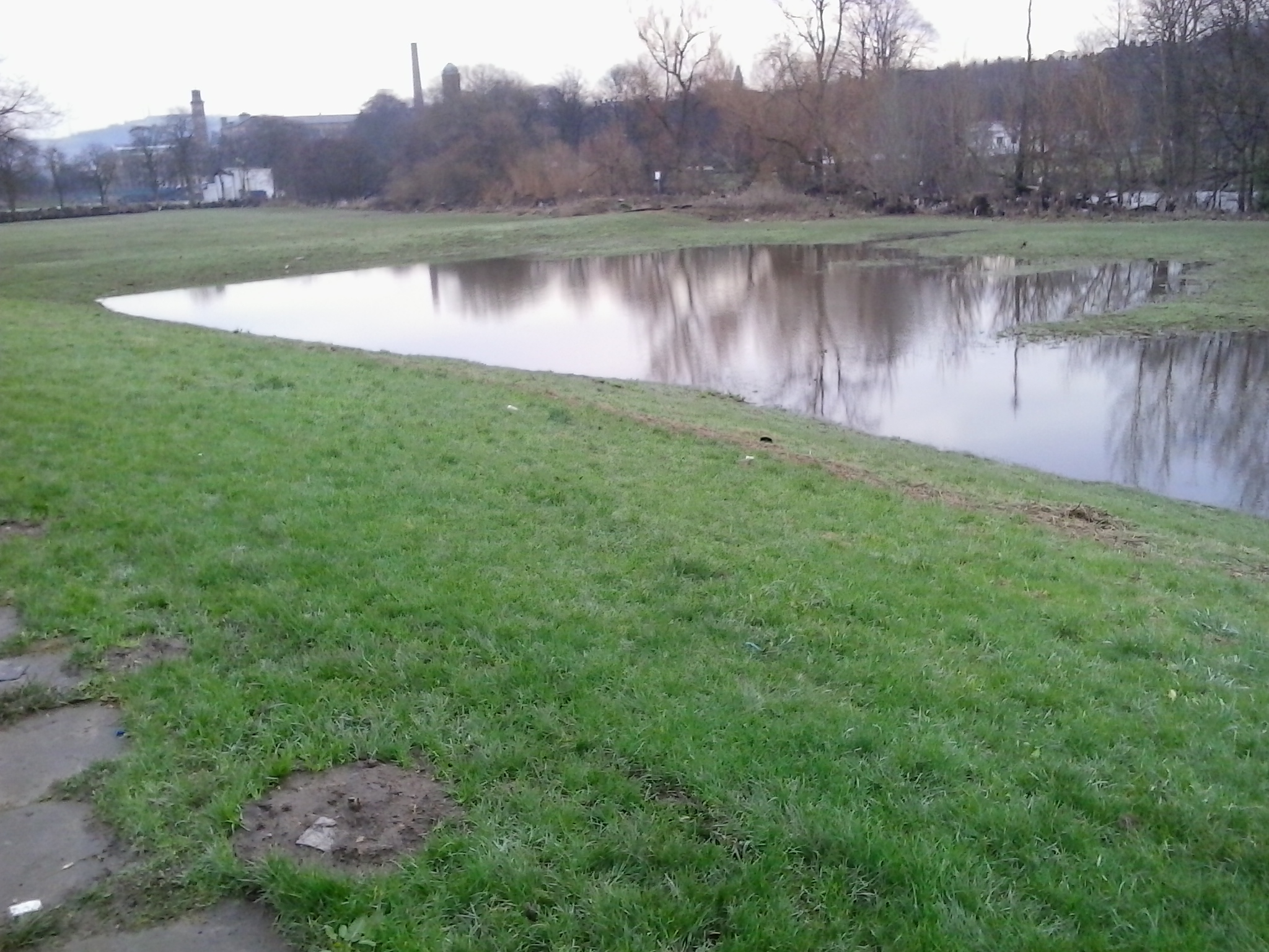
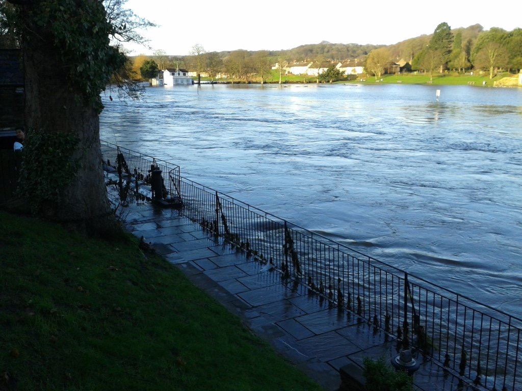
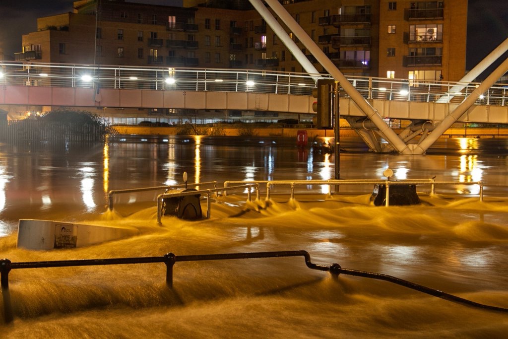
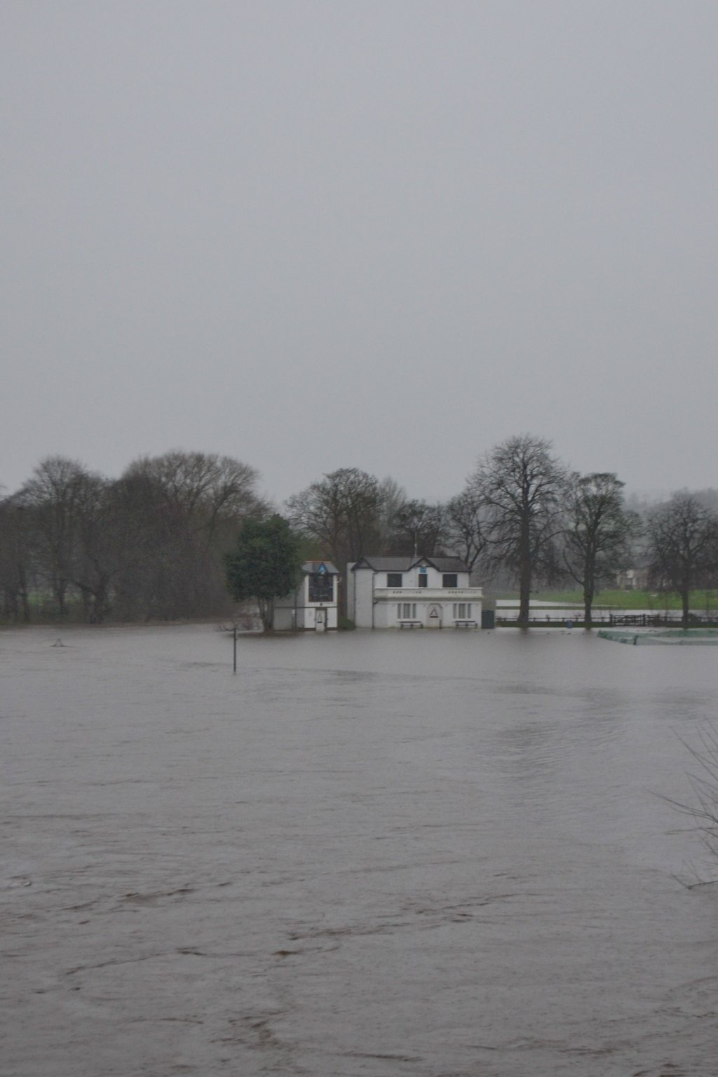
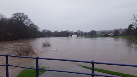
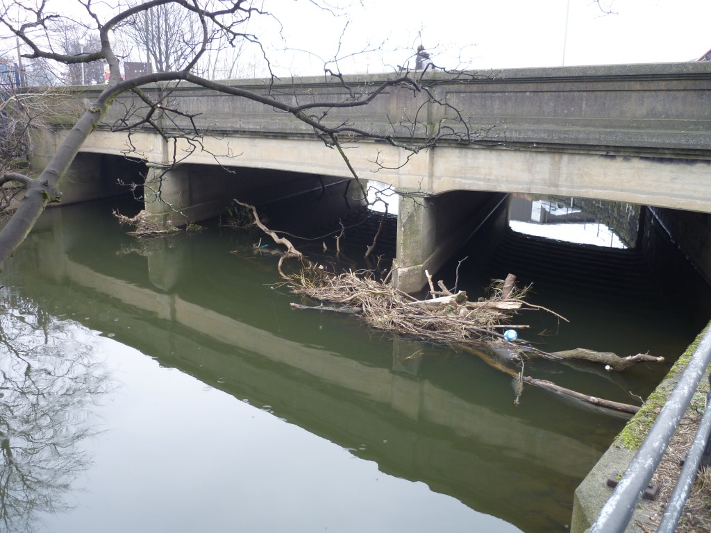
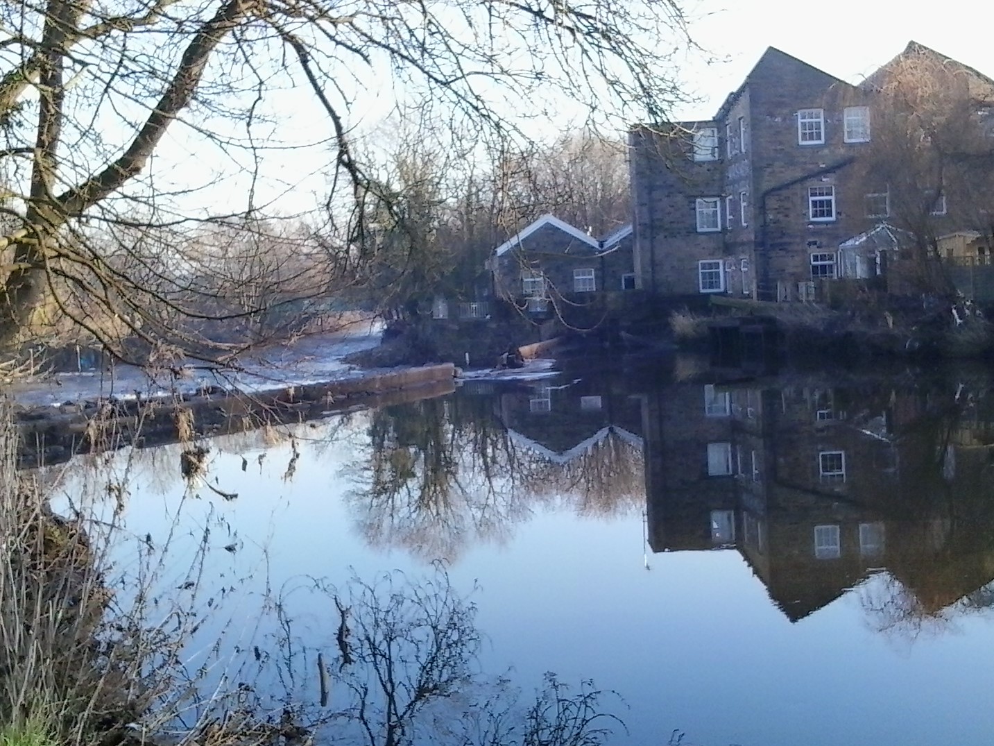
For the purposes of comparison, here’s an earlier photo of the river at normal flow levels, where a whole extra layer of the bridge stanchions is visible…
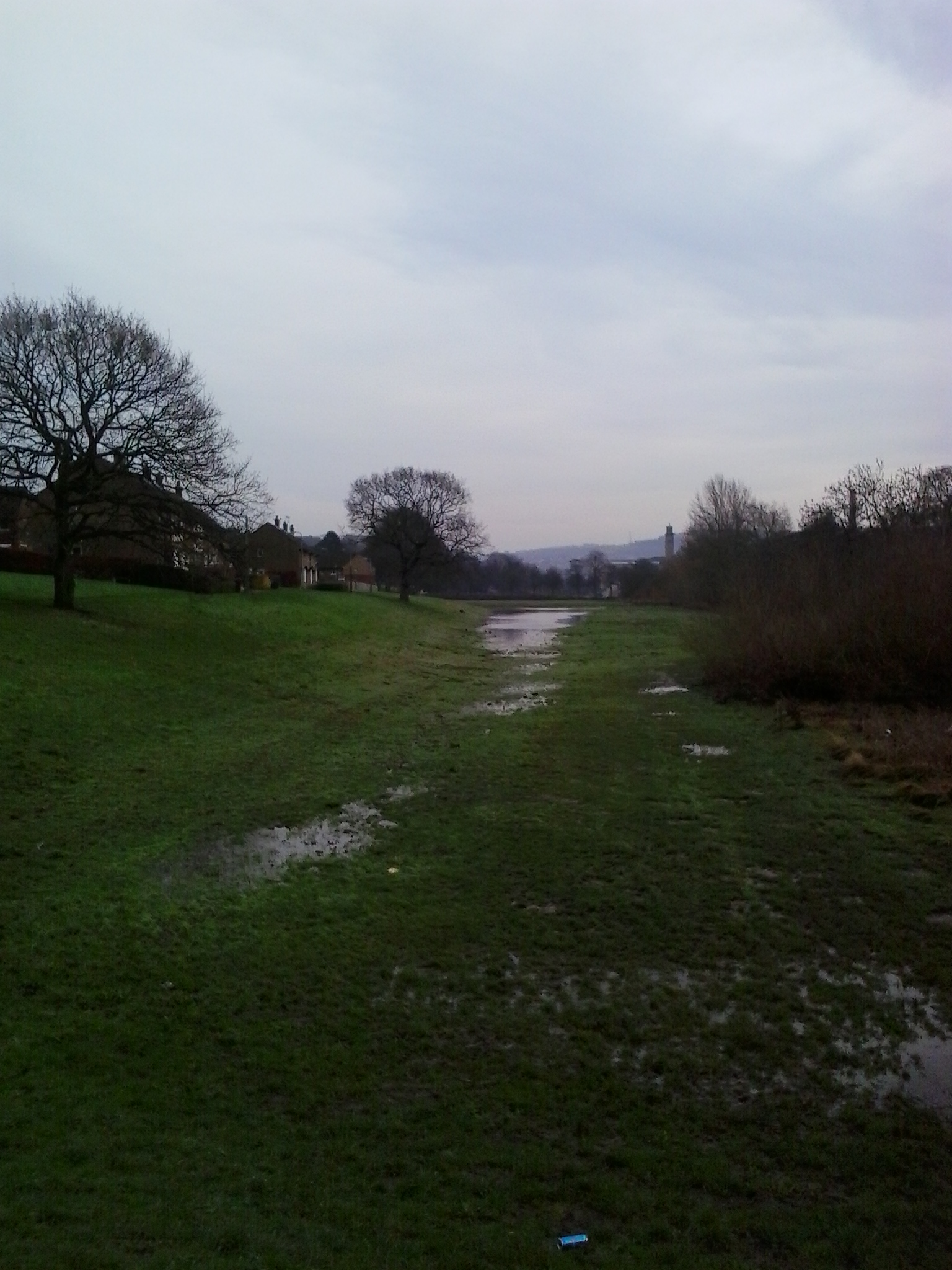
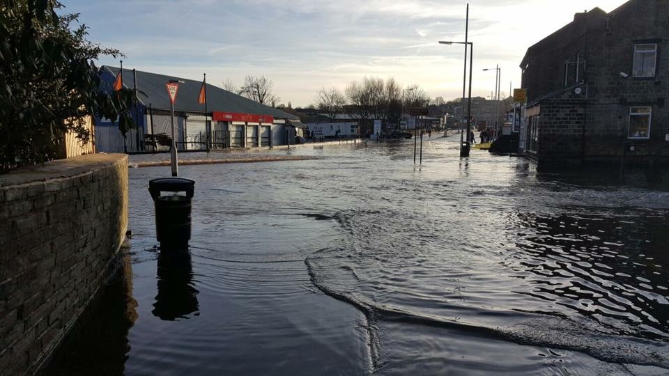
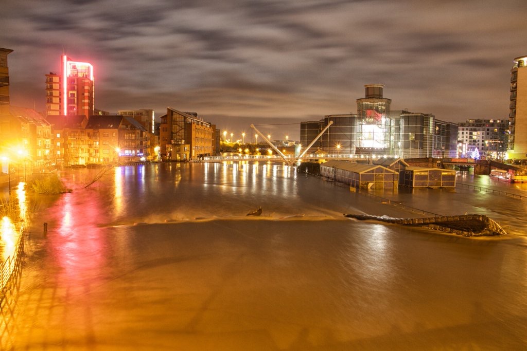
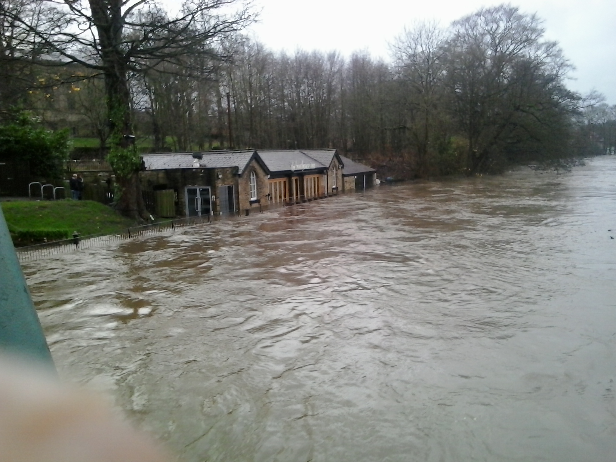
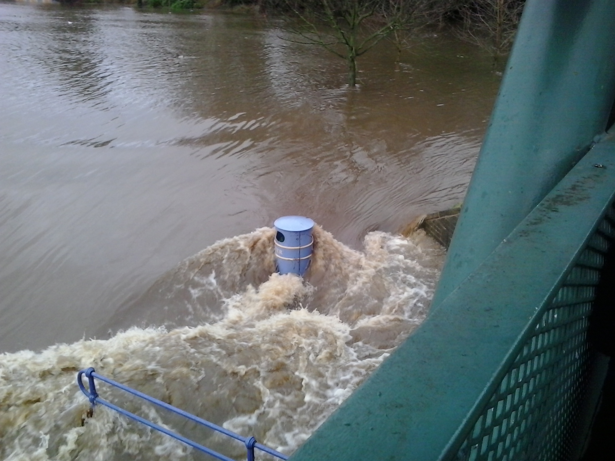
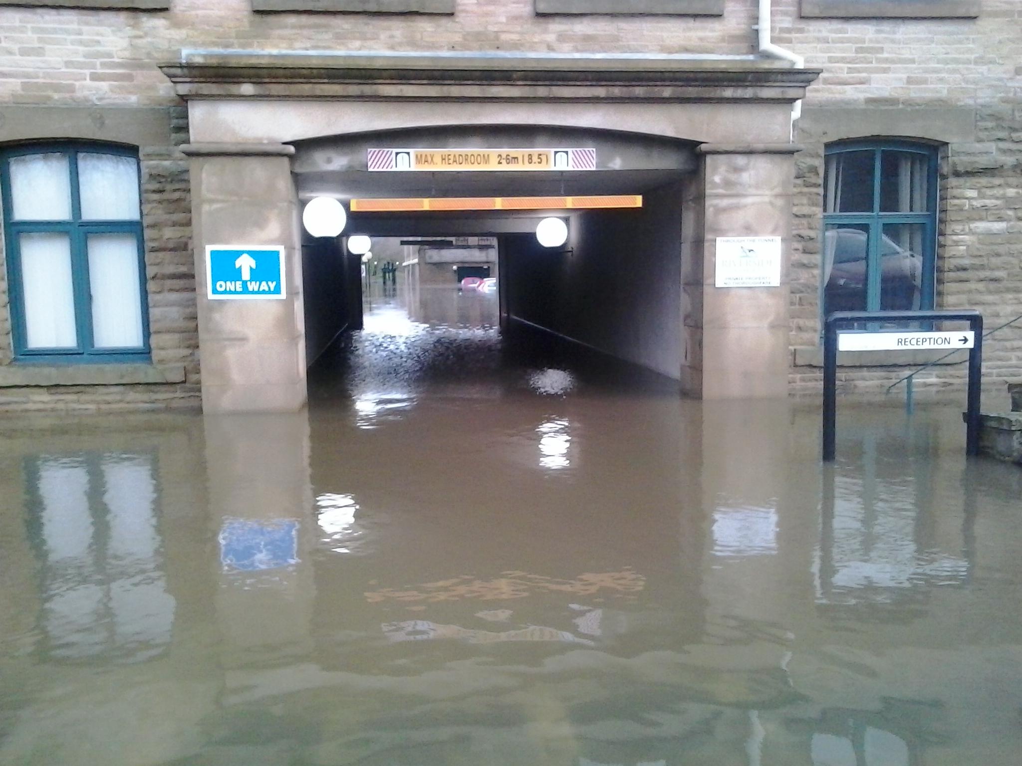
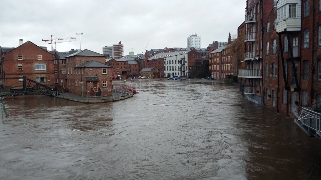
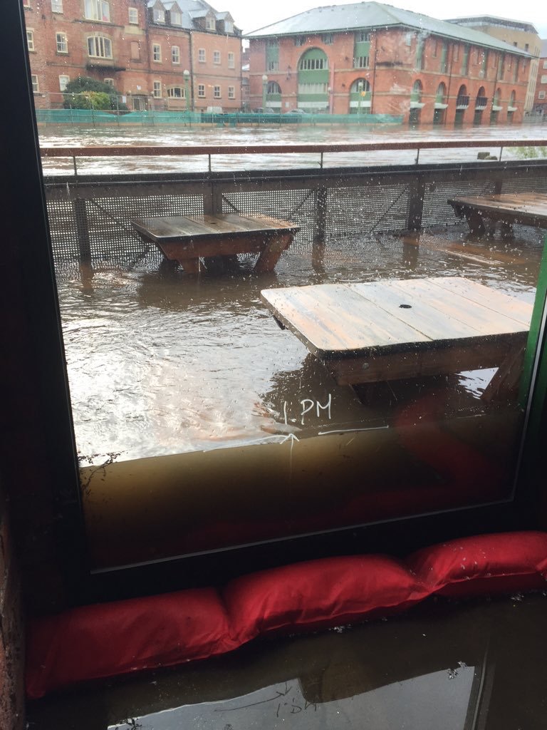
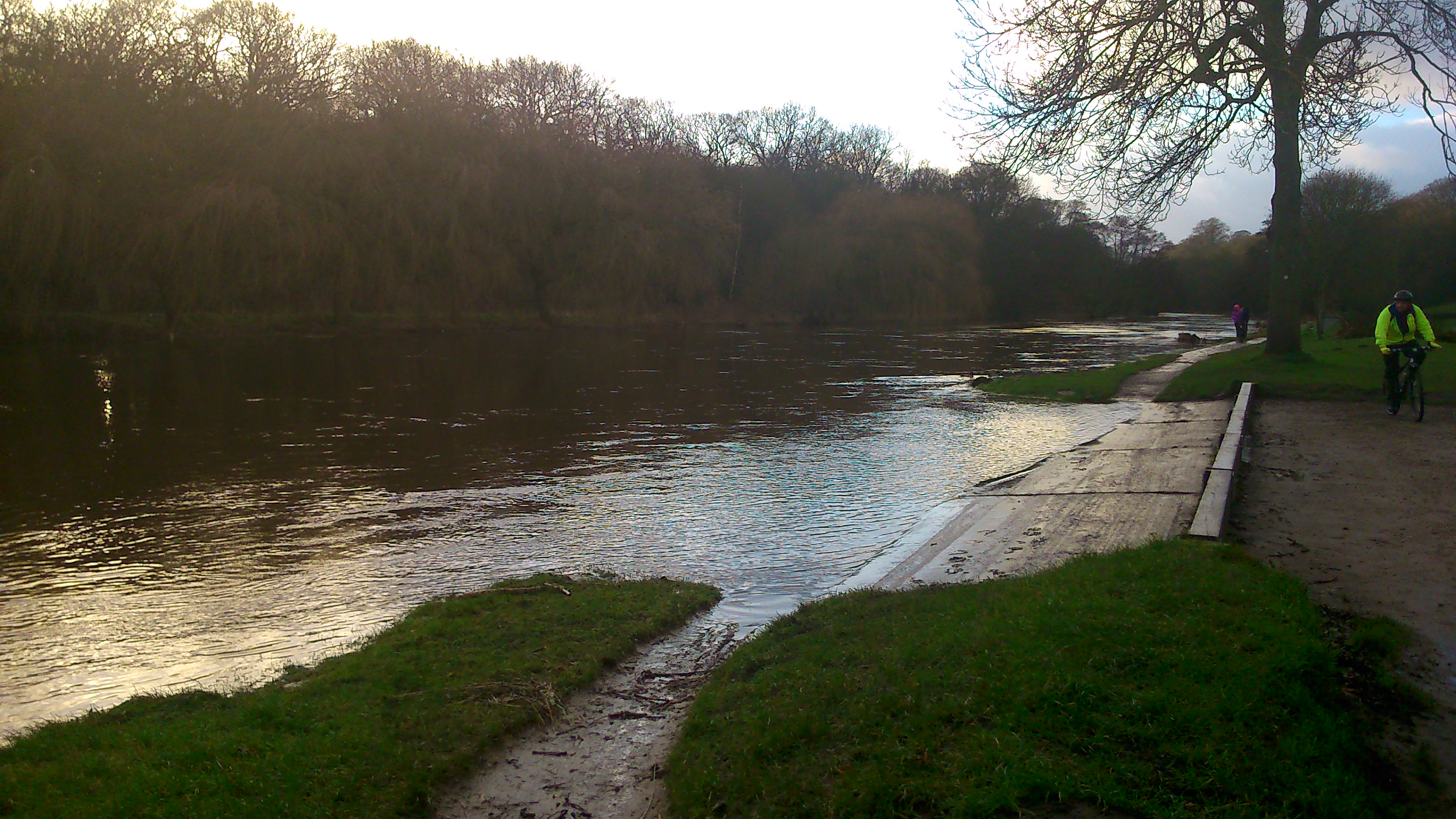
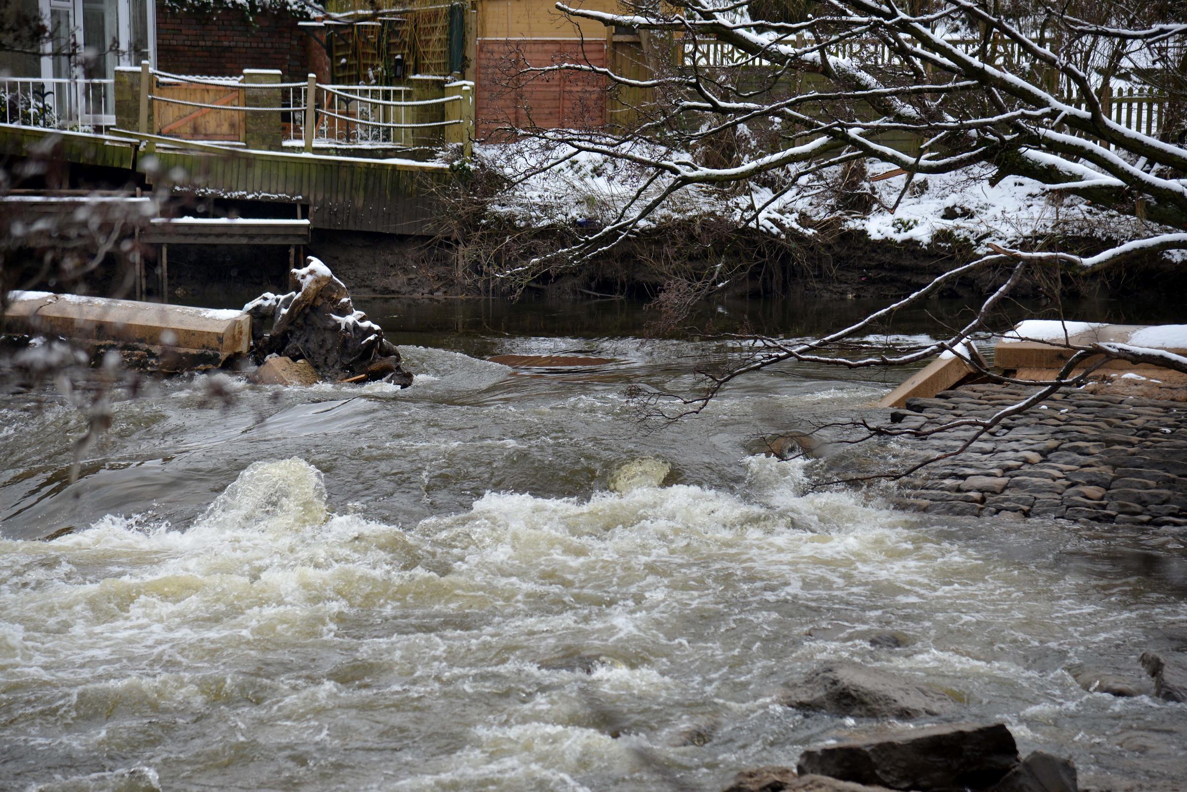
But club secretary Philip Moncaster assured me that the water level last Sunday had actually receded from where it was at the end of November. Here’s a shot of his own from back then, kindly donated for this blog…
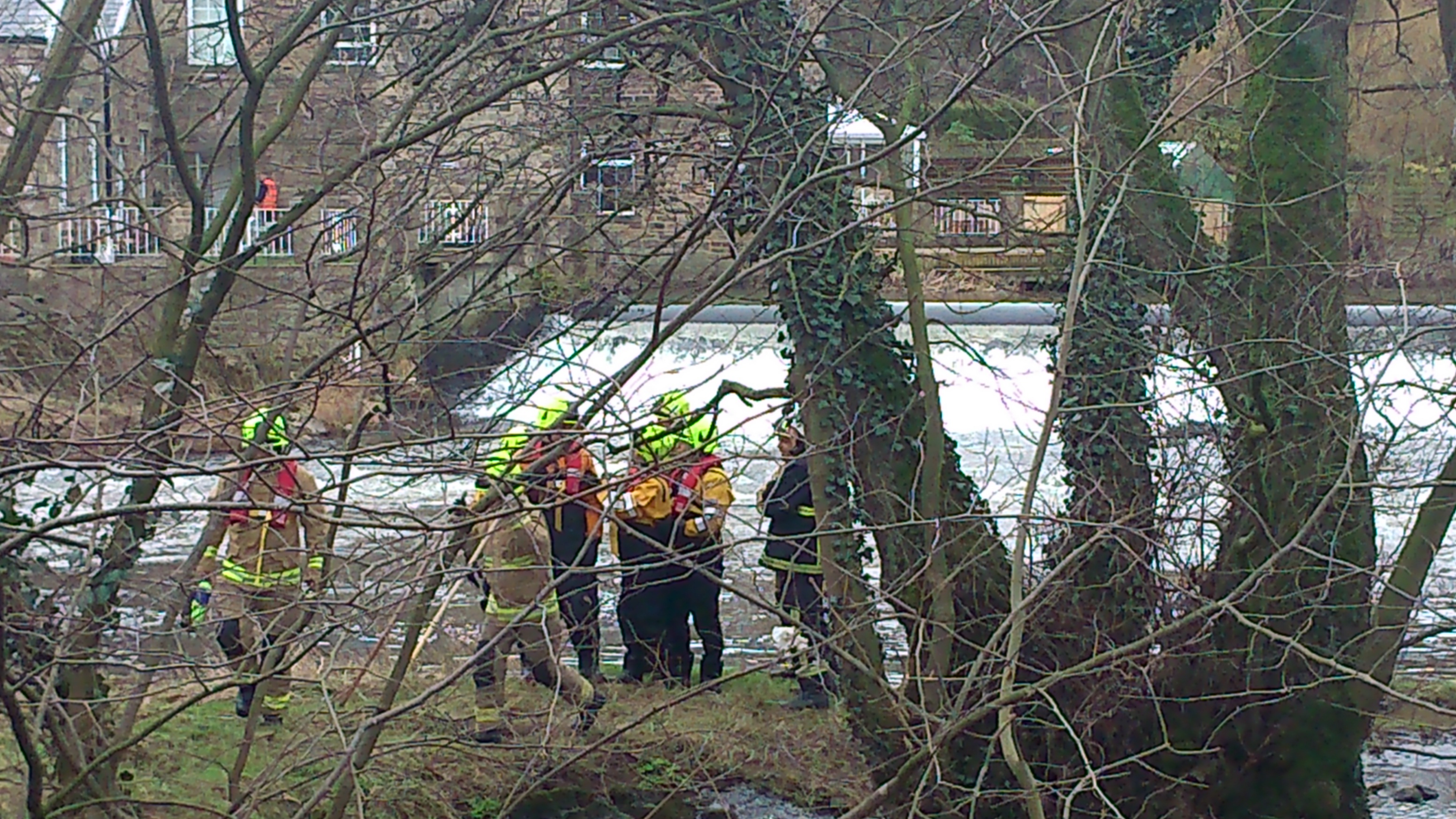
As Philip says, as soon as the river gets as high as the main bridge, there is big trouble, because that solid concrete wall acts as a kind of dam, forcing the river elsewhere. This was the major flooding pinch point in the Shipley area, in both 2000 and 1947 (the big historical flood incidents in living memory). And circumstances could have been worse, recently, if the debris in the river had been in greater quantity– as this can contribute to the damming effect across the archways. In heavy rain, of course, the softening of the riverbanks upstream contributes to the risk of older trees becoming dislodged and falling into the river…
Philip is a real “hydro citizen” (to use the term attached to our current research project) because he has taken upon himself the responsibility of trying to get the (supposedly) “responsible agencies” to, er, take responsibility for clearing debris from the bridge… He copied to me a series of emails he has sent recently, from which the following are the edited highlights:
NOVEMBER 30 (to John Anderson at Bradford Council): For several years now I have had problems contacting Bradford Council regarding clearing of debris from under Baildon Bridge Otley Road. Your staff are unaware that the council are responsible for this problem and I am constantly told to contact The Rivers Authority or Yorkshire Water or The Environment Agency. Your emergency planning team told me to contact The friends of The River Aire. I rang cleansing today who told me to ring Yorkshire Water but I was not prepared to be fobbed off again so I asked to speak to a supervisor. I was connected to Sarah Clark who told me The council were not responsible but I insisted she was wrong and eventually I was given your name (Sarah Clark was very helpful and very pleasant to deal with and she returned my call as promised). I was told that you have had ‘Jaggers’ of Halifax recently to clear trees from the bridge although I have been watching since my club flooded on 22nd November and nothing has moved since then. A large tree is wedged under one of the three tunnels of the bridge and is collecting debris all the time. This obviously restricts the flow of the river and causes me sleepless nights at this time of year.
Philip had clearly been given the run-around by ill-informed Council staff, although to his credit, John Anderson replied the same day:
NOVEMBER 30: Philip, The responsibility for clearing debris off bridges is not clear. Responsibility lies somewhere between the riparian owner (Bradford Council if debris is under the bridge) and Environment Agency (responsible for ensuring free flow). That said, Bradford Council’s Highway Structures Unit do clear the bridges on the River Aire and have done so for many years. I have asked our Bridge Inspector to visit the bridge and have arranged with Jaggers to remove the tree as soon as it is safe to do so.
Understandably concerned at Mr. Anderson’s admission that “the responsibility . . . is not clear”, Philip wrote to Shipley’s three Green councillors about this, and received the following from one of them, Kevin Warnes:
DECEMBER 11: I agree that the lack of clarity about who is responsible is ridiculous. We’ll check with officers and come back to you.
Meanwhile, Philip also wrote to the Area Manager at the Environment Agency:
DECEMBER 7: FAO Mark Scott Heres a copy of John Anderson’s reply to the email I sent last week. Is it true that the environment agency are responsible for ensuring free flow ?
No response…
DECEMBER 10: Did you receive my email sent monday 7th dec? Your comments would be helpful.
This prompted a response of sorts…
DECEMBER 10: Dear Mr Moncaster, thankyou for your emails to Yorkshire Area Manager Mark Scott dated 7 and 10 December 2015. He is looking into your email and you will receive a response within 10 working days, which will be by Monday 21 December 2015. Many thanks, Deborah Broughton, Customer and Engagement Officer
To be fair to Mark Scott, of course, if he is the EA’s Area Manager for “Yorkshire” as a whole, then he has probably had bigger crises to address than Baildon Bridge in the last couple of weeks! But part of the problem here is the question of accountability and communication. A concerned citizen such as Philip should be able to establish more easily who to contact about such locally significant issues, and the EA surely needs public-facing staff who are promptly responsive to such enquiries (in the way that a local councillor like Kevin Warnes is).
DECEMBER 15: F.A.O. Mark Scott. I understand from your admin’ people that you intend to reply to my emails by 21st Dec. I guess you must be busy. While you consider your response I would like to share with you my thoughts regarding flooding at Baildon Bridge on the river Aire. Last week’s floods in the North West prompted great T.V. coverage and interviews with plenty of experts who all shared the opinion that water cannot be compressed and therefore flood defences in one area, causes problems further down stream. Blocking flood plains with large walls must in my novice opinion cause water to flow faster and deeper down stream (which is what all the experts were saying about Carlisle). Your office told me this was not the case on the river Aire! What about all the defence work at Stocksbridge etc? We have in recent years experienced a much more common ‘near flood’ experience and I suggest the above work has had some influence on that very worrying problem. Recent high water levels have seen Baildon Bridge almost at capacity, at the point where it becomes a dam. I would like my proposal to remove the wier at Baildon Bridge to be considered as a flood defence scheme that would have no detrimental effect down stream as regards causing potential flooding elsewhere.
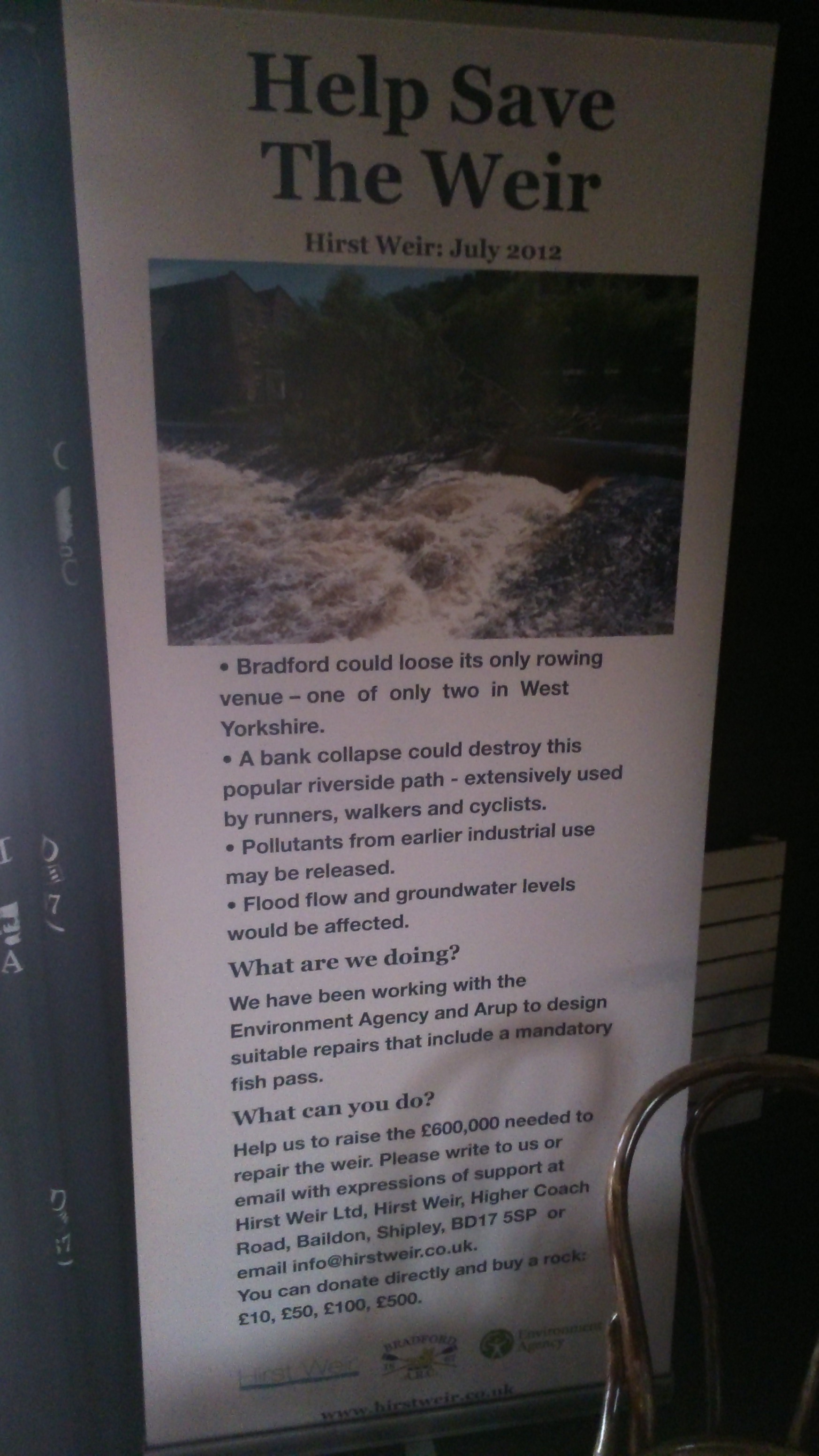
This is, I think, an important instance of what they call “citizen science”: Philip’s personal observation, living beside the river, is that near-flood incidences have risen over recent years — for whatever reason (and he proposes one — the Stocksbridge flood defences). He also reiterates his conviction, previously discussed on this blog, that the removal of the weir immediately downstream of the bridge might help reduce flood risk by lowering the flow level of the river going through the bridge (since a weir is a low-level dam).
Now then, is there any scientific validity in either of these suggestions? We might be about to find out, because I have finally found a water engineer who is willing to assess the flow data for us… He’s a colleague of mine at Manchester University, and is doing this assessment “pro bono”, as it were (given that professional consultancy fees are exorbitant). The raw data, I’m pleased to say, has been provided to our project free of charge by the EA. This is thanks to the fact that I now have built up personal contact with some very responsive, very helpful people there… Let’s see what happens… (report ready around February)
[update: as of December 22nd, Philip had still received no reply from Mark Scott]
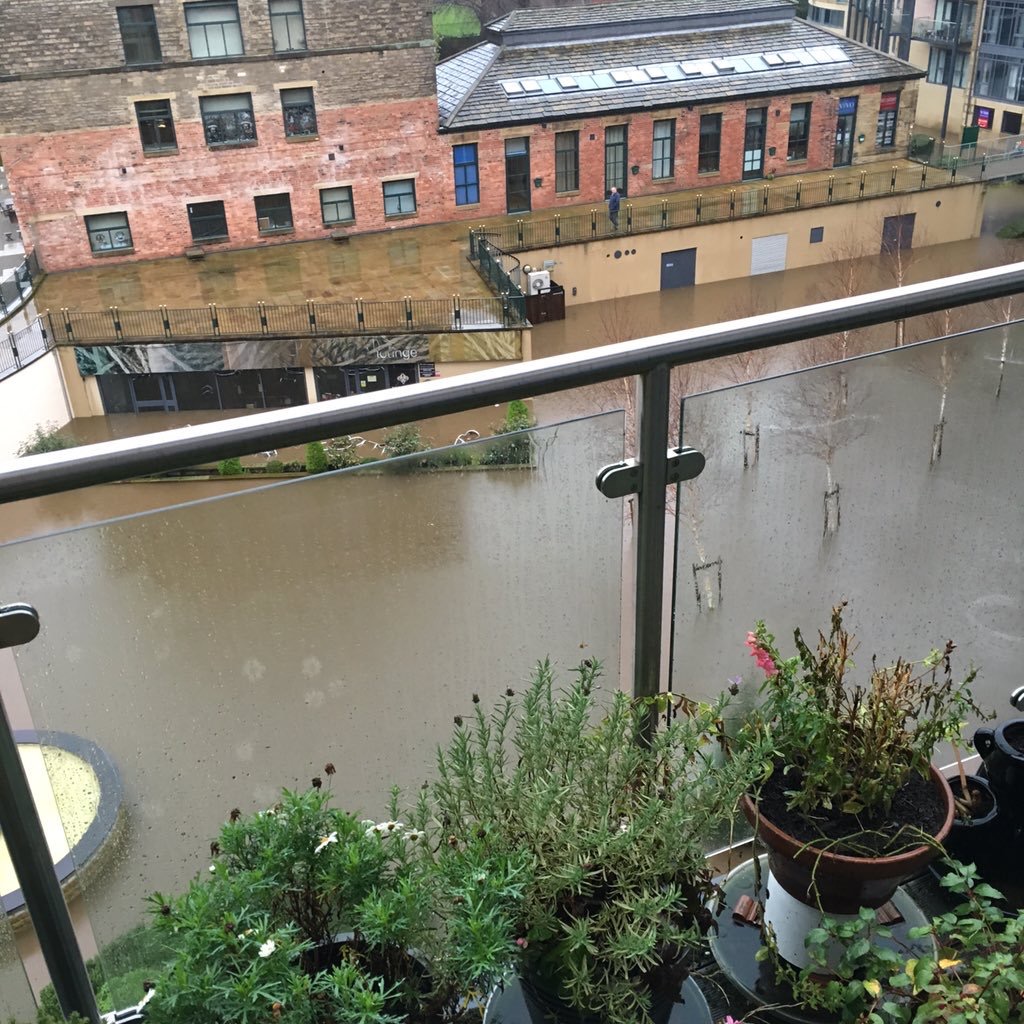
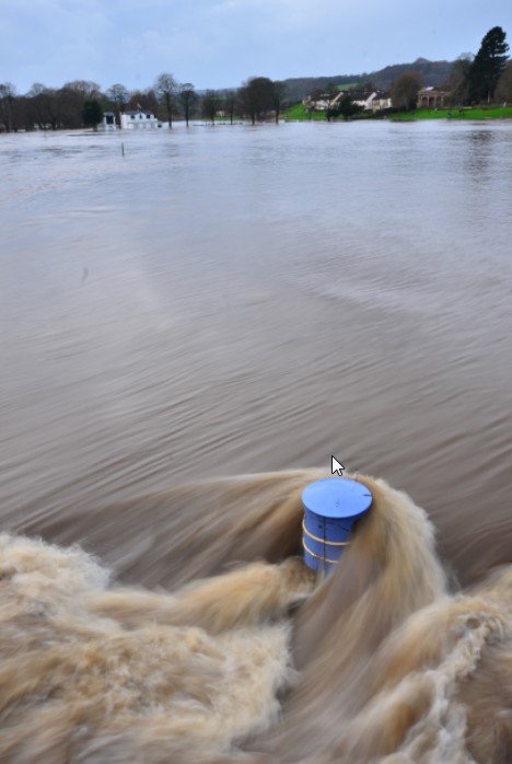
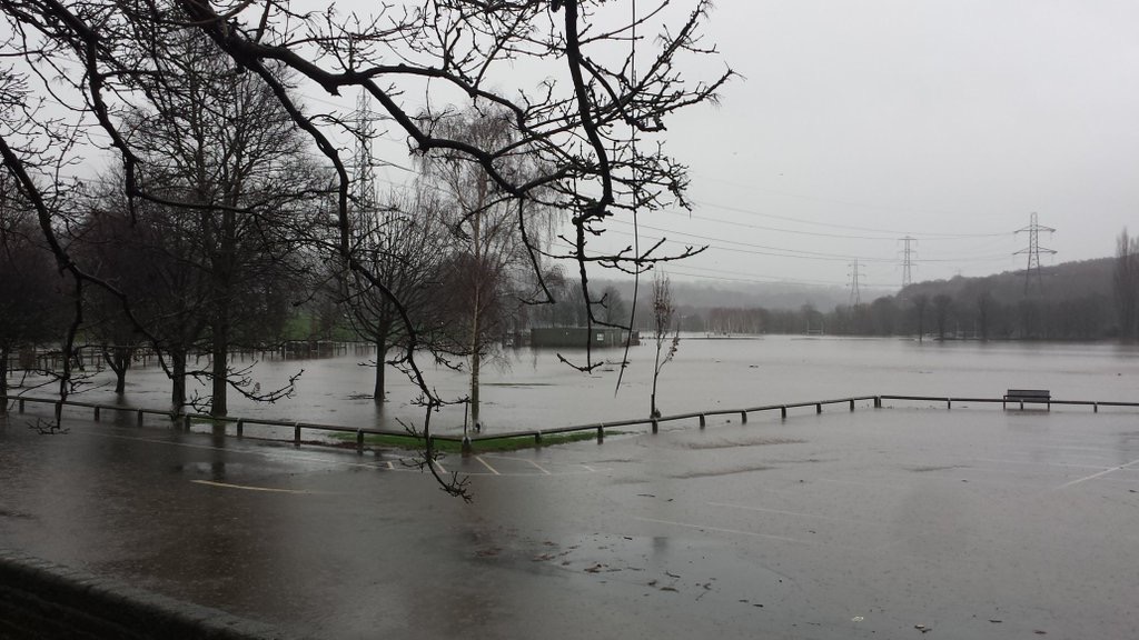
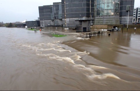
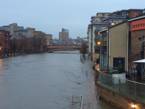
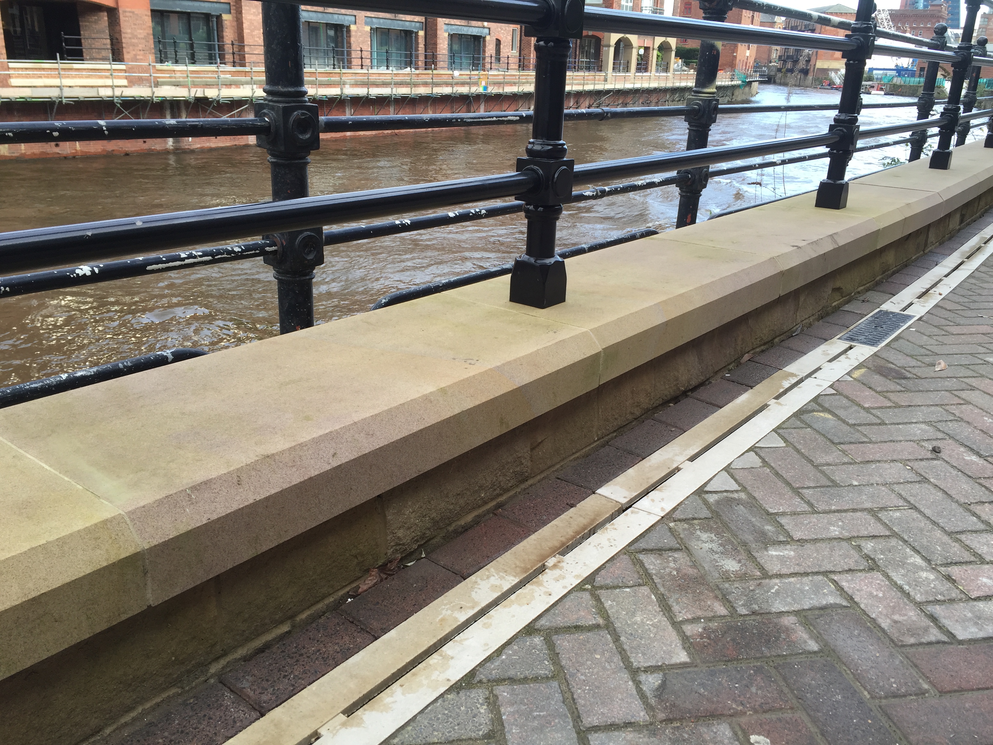
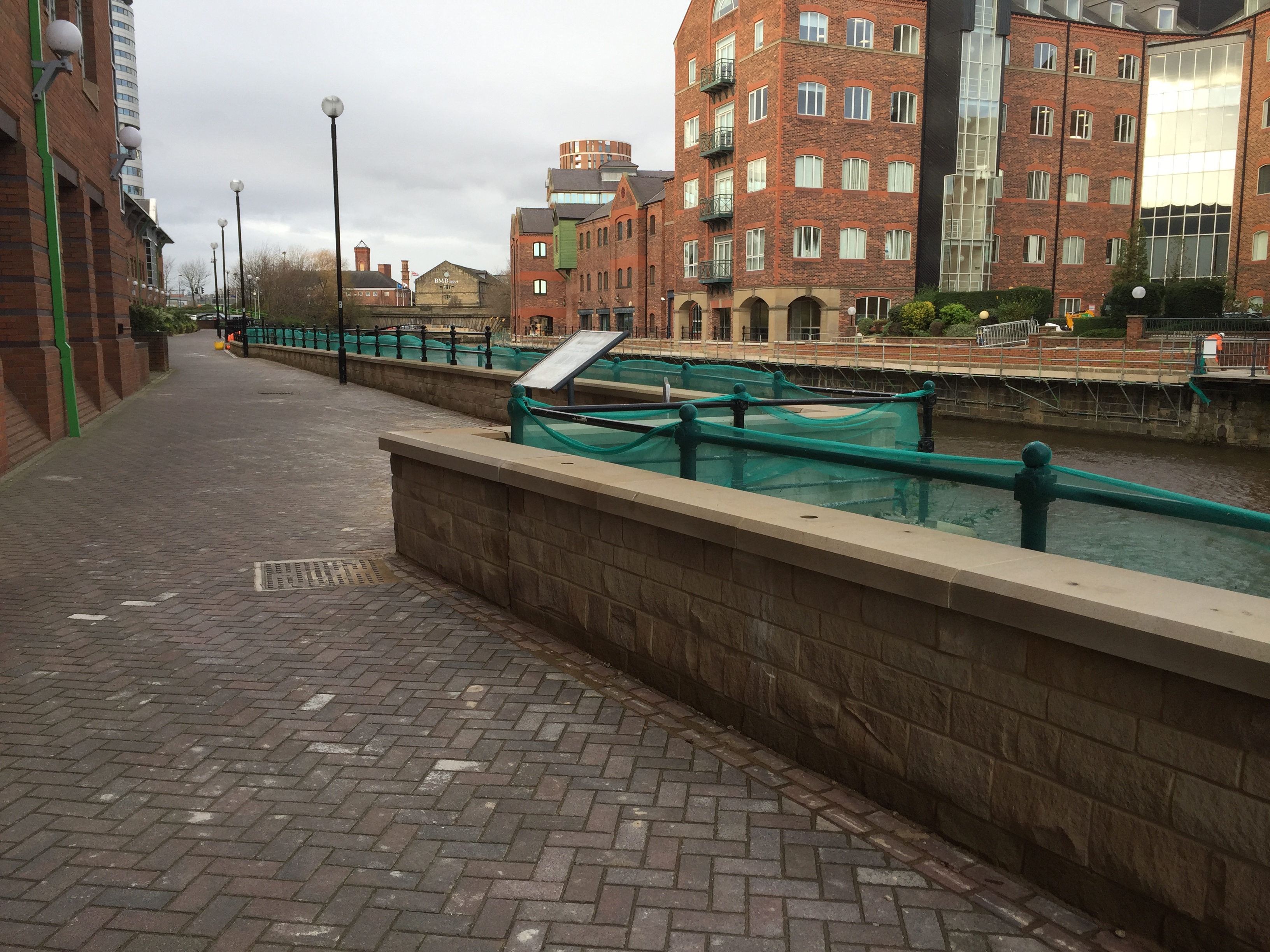
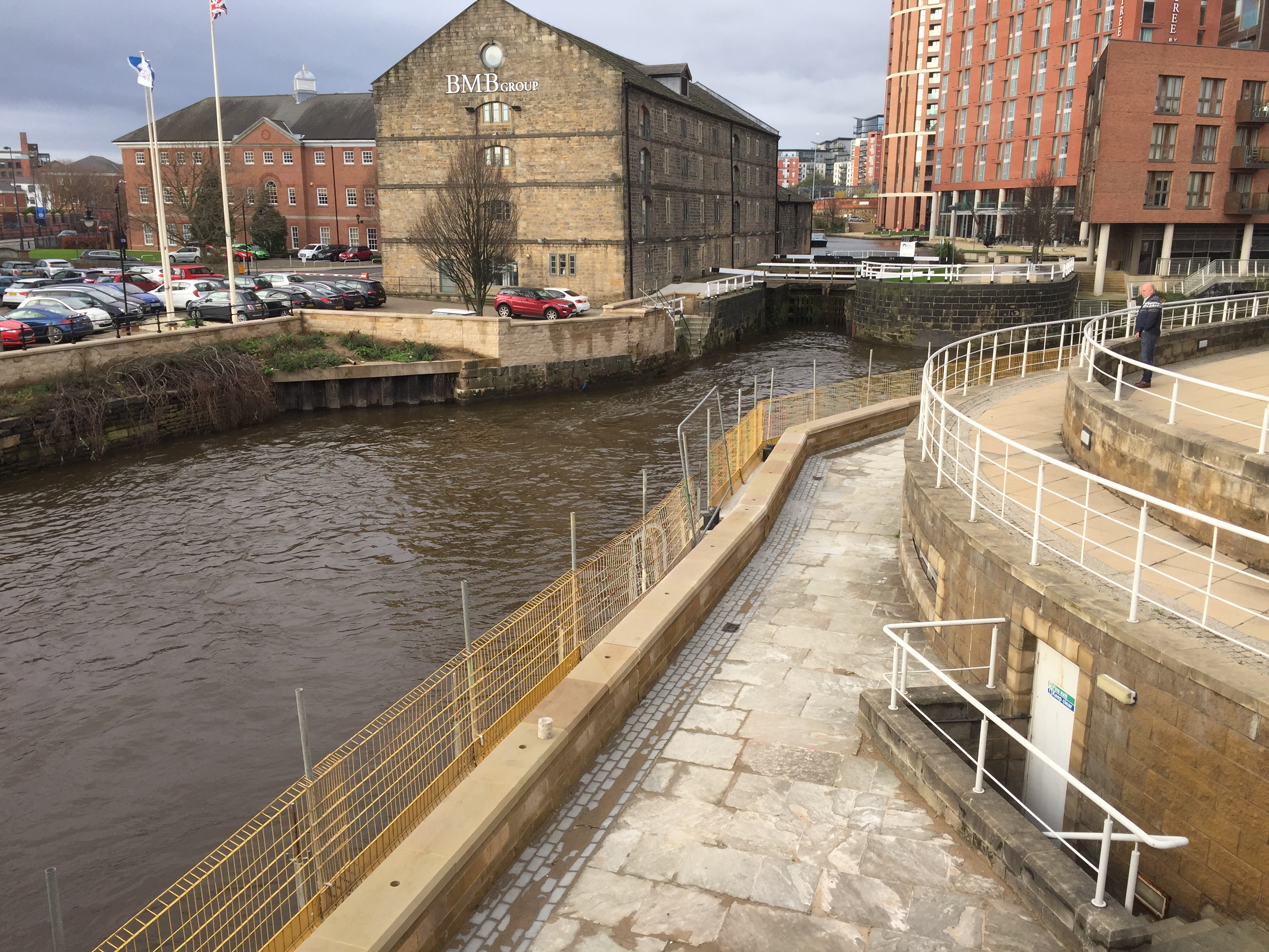
And meanwhile, let’s take a look at some of the EA’s newly installed flood defences downstream in Leeds (picture taken at the beginning of this month)…

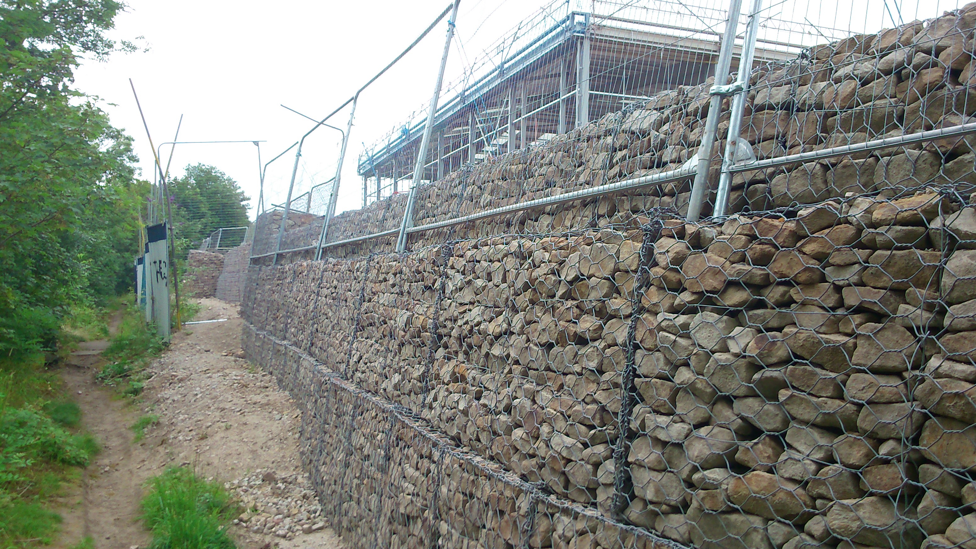
That’s right, folks… along this stretch of the Aire, just outside the big Asda headquarters east of the Neville Street bridge, they have built a new flood wall that’s about, um, 10 inches high? And as you can see, they’ve put new railing on this new wall, without removing the old railings … so that when someone comes to do that, they’ll have to work around the new fence (or hang off the river wall…?). I came across a workman scrubbing mortar off the walkway by the new wall, who worked for “Heritage Masonry” – subcontracted to install true Yorkshire stone along this stretch (at no small cost), whose private opinion was that the costs of building this very low wall seem disproportionate to any potential benefits it might provide… Now, admittedly I’m being a bit naughty here… if you follow the walkway a bit further down, you get a better perspective:
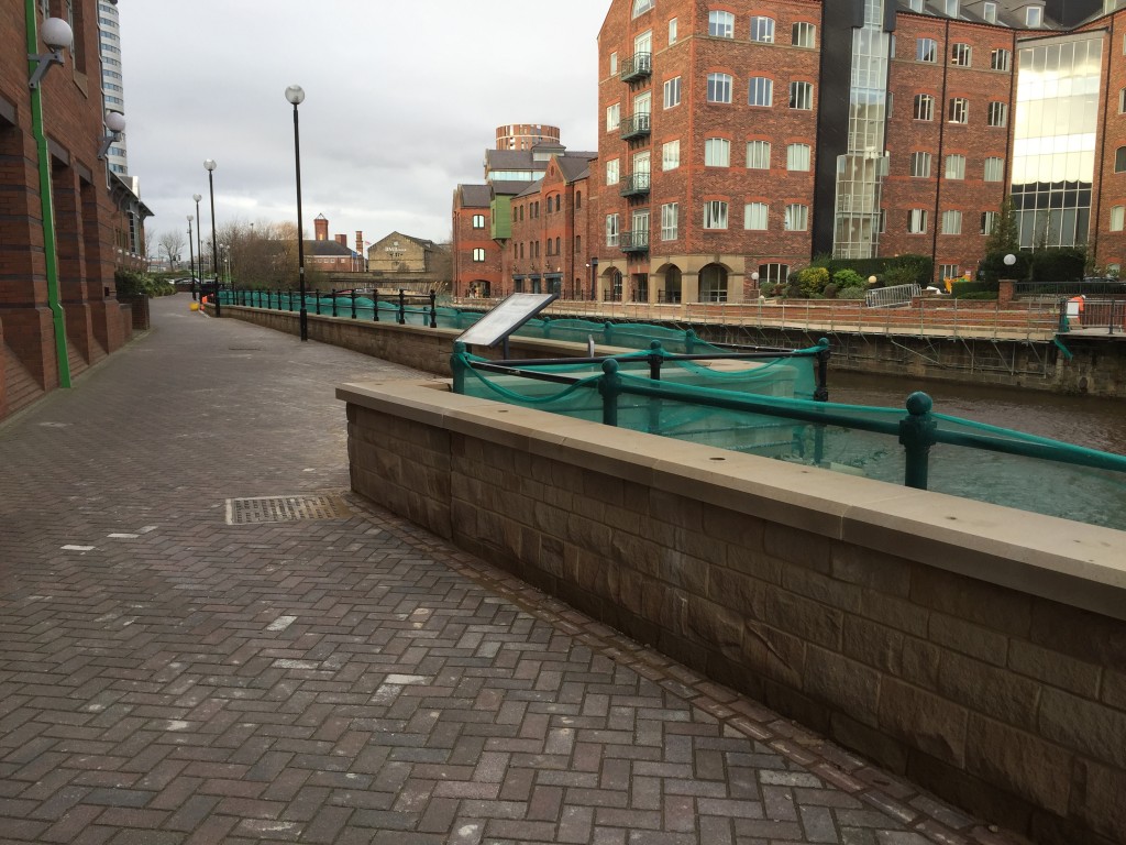
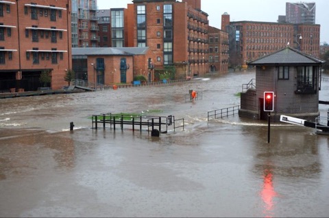
As you can see here, the top of the new wall stays at a constant level, while the walkway itself does not. Hence the very low bit, as well as the more respectably “wall-like” bit here. What you really notice, though, touring the works along this city centre stretch of the river, is that the priority areas for defence seem to have been outside major corporations like Asda and Direct Line (whose new bit of wall is pictured below)… I expect that the City Council has been lobbied by these major players for better future defences… but that again begs the question of just who is listening to the concerns of ordinary citizens and riverside residents (especially those downstream of these works).

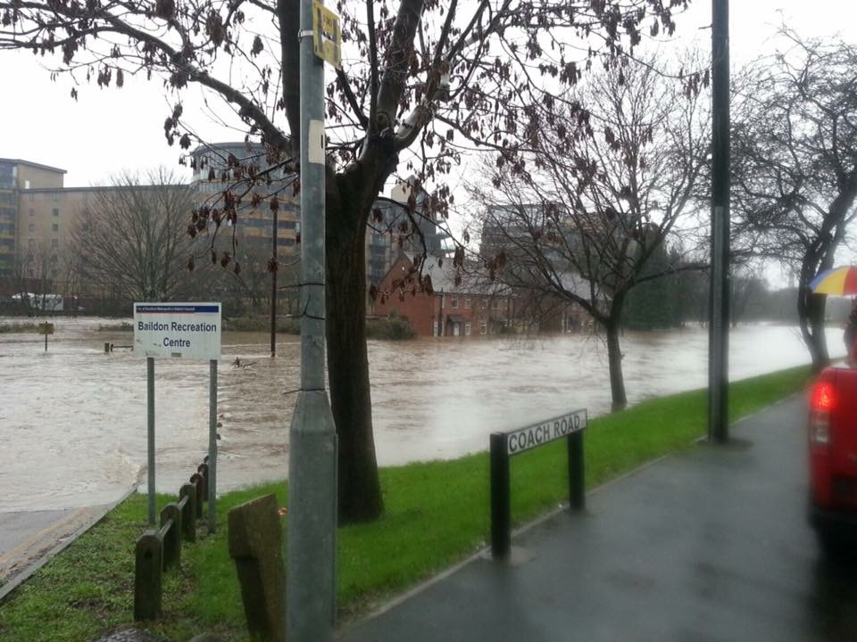
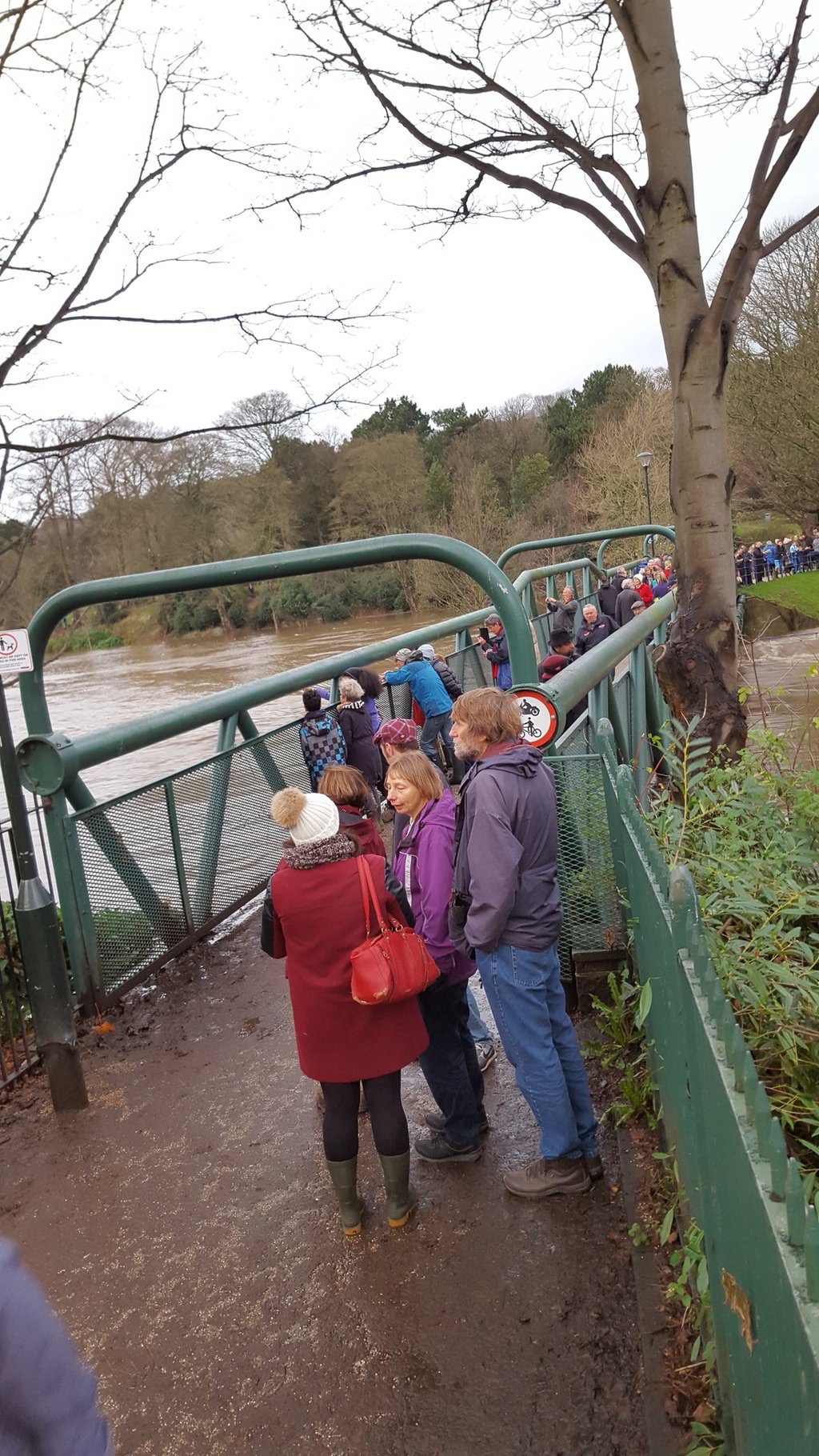
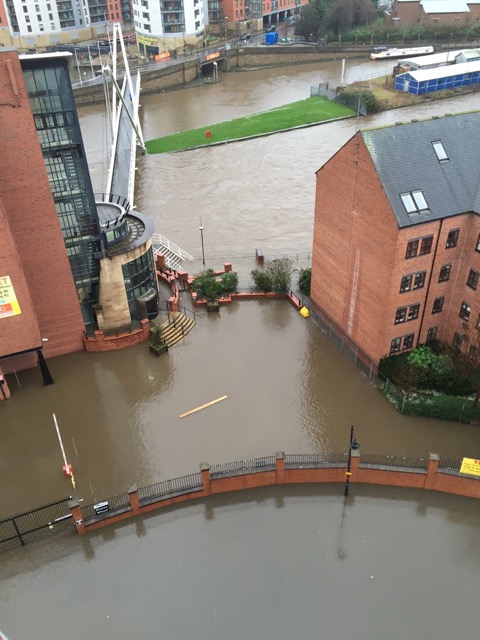
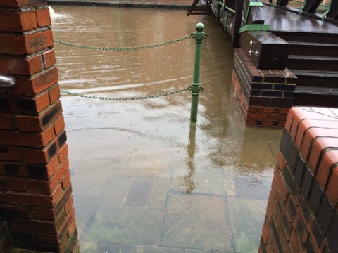
Back in Shipley…. Here’s the very swollen-looking River Aire immediately upstream of Baildon Bridge, looking across towards Woodbottom club just before last Sunday’s party… The club’s basement had again been flooded just the night before….

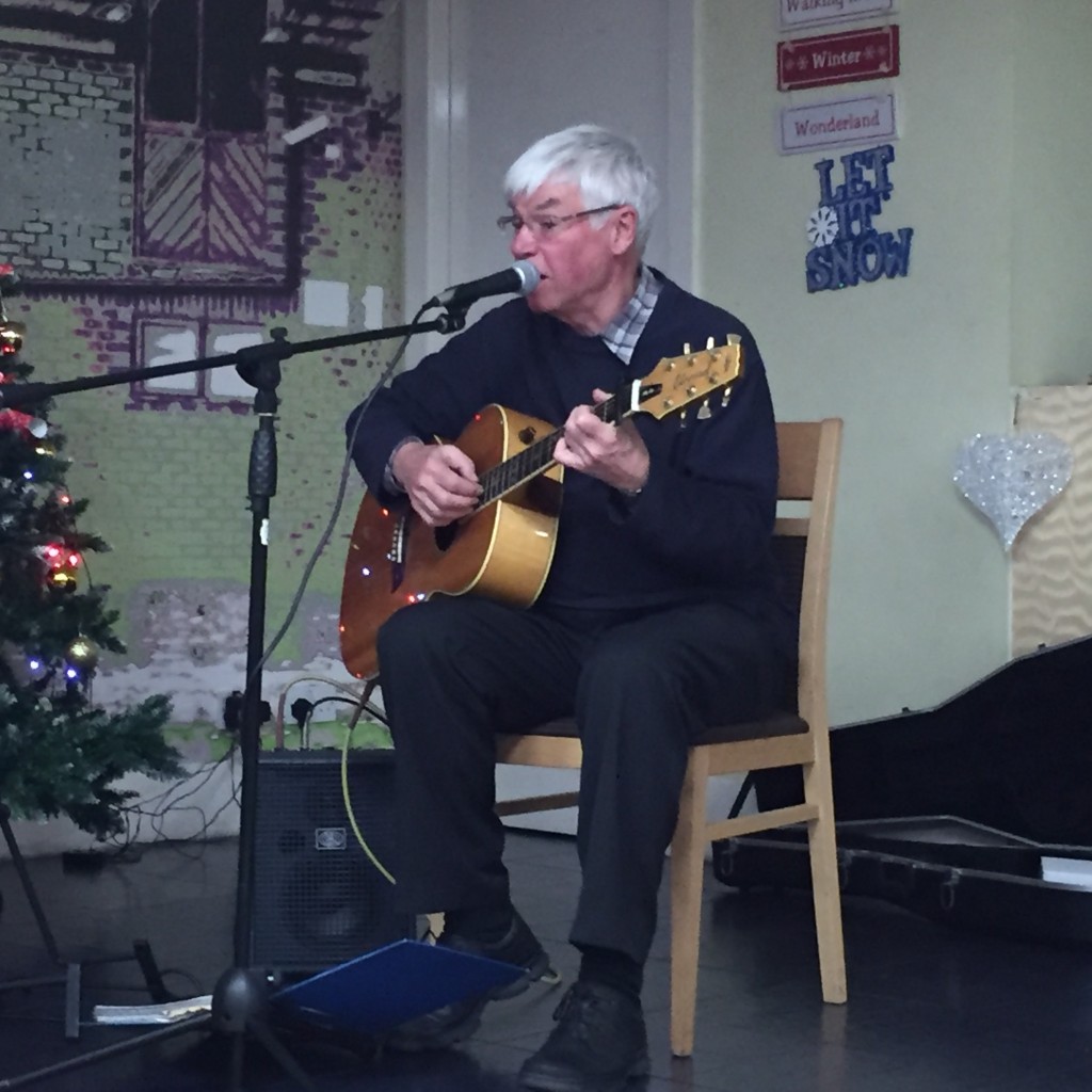
On a wet, cold, dark winter’s evening we were pleased that so many people made the effort to come down Coach Road to join our community party. We were also joined by some friends from some other areas such as Hirst Wood and Lower Holme. Our oldest guest was Margaret, who recently turned 90, our youngest was Maisie, at 4. The entertainment included a pub quiz, brilliantly hosted by Philip, and a short, well-received, perfectly-judged set by singer-songwriter Eddie Lawler (note the seasonal decor!):
Thanks to everyone who turned out, thanks to Philip and the club for hosting us, thanks to the Rocking Rudolph seasonal beer for – um – rocking us… and hats off especially to Stewart and Pat Gledhill, and to Pam Ruppe, the hardworking organisers behind both the party and the evolving Higher Coach Road Residents’ Action Group (H-CRAG!). Stewart told me that there are a number of new volunteers for the group and its committee, and we’re hoping this community initiative will continue to develop in the new year. Meanwhile, merry Christmas to all!
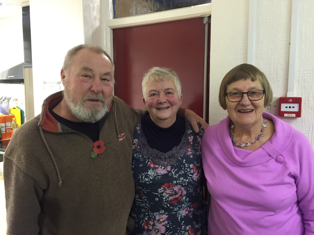
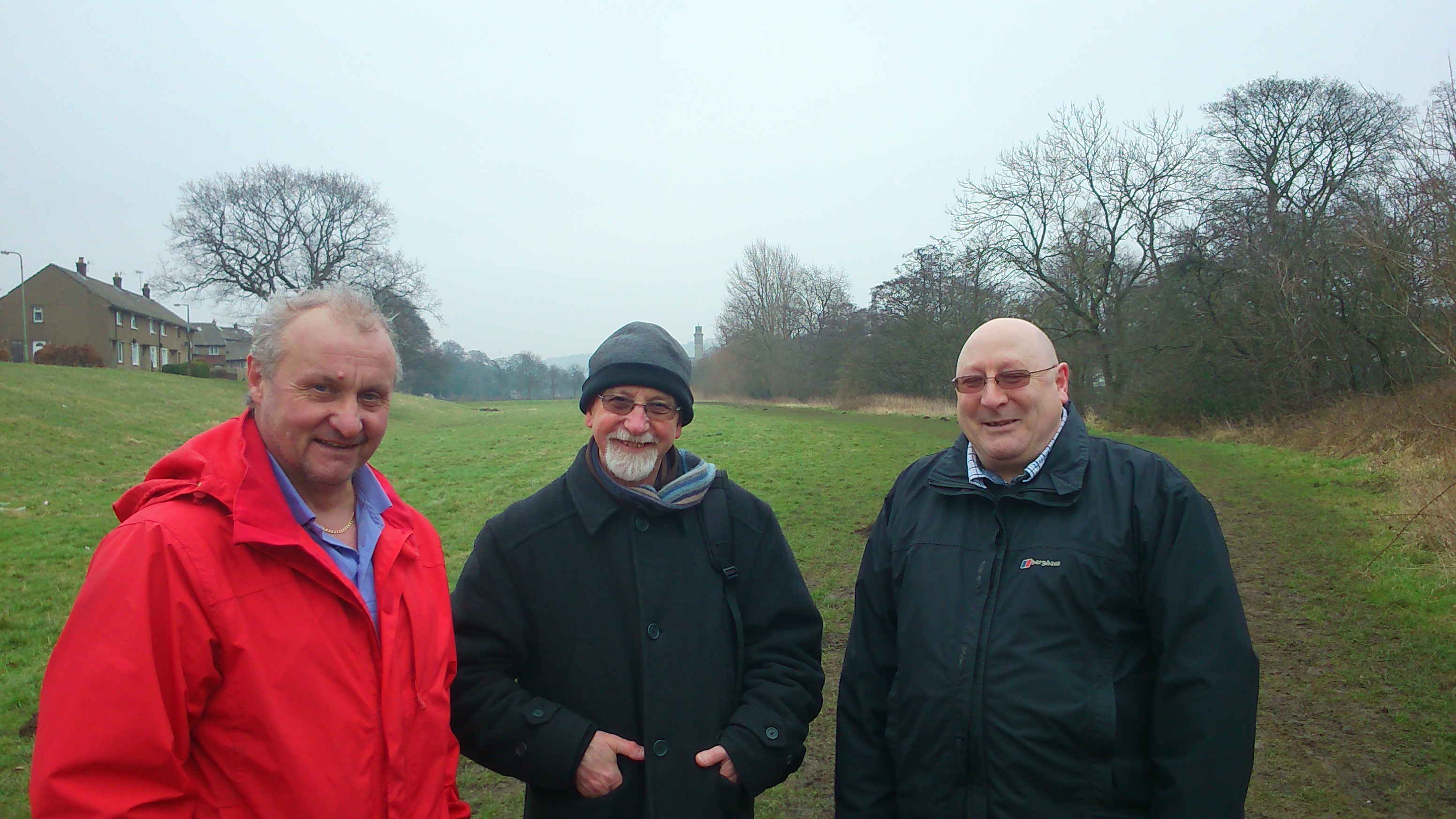
Stewart, Pat and Pam, pictured last month at the H-CRAG meeting hosted at St. Hughs, to which all 3 of the local Green councillors turned up in support!


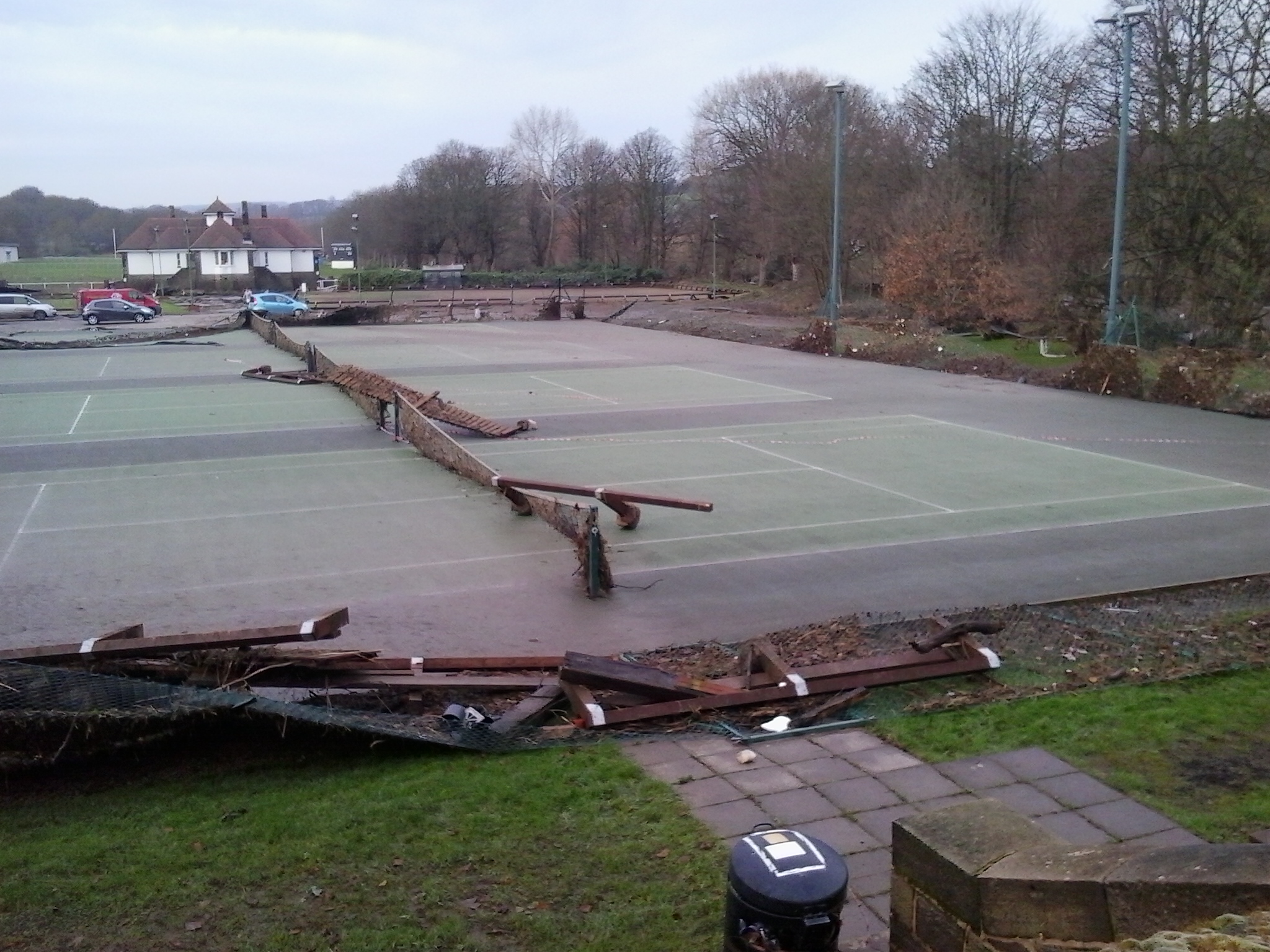
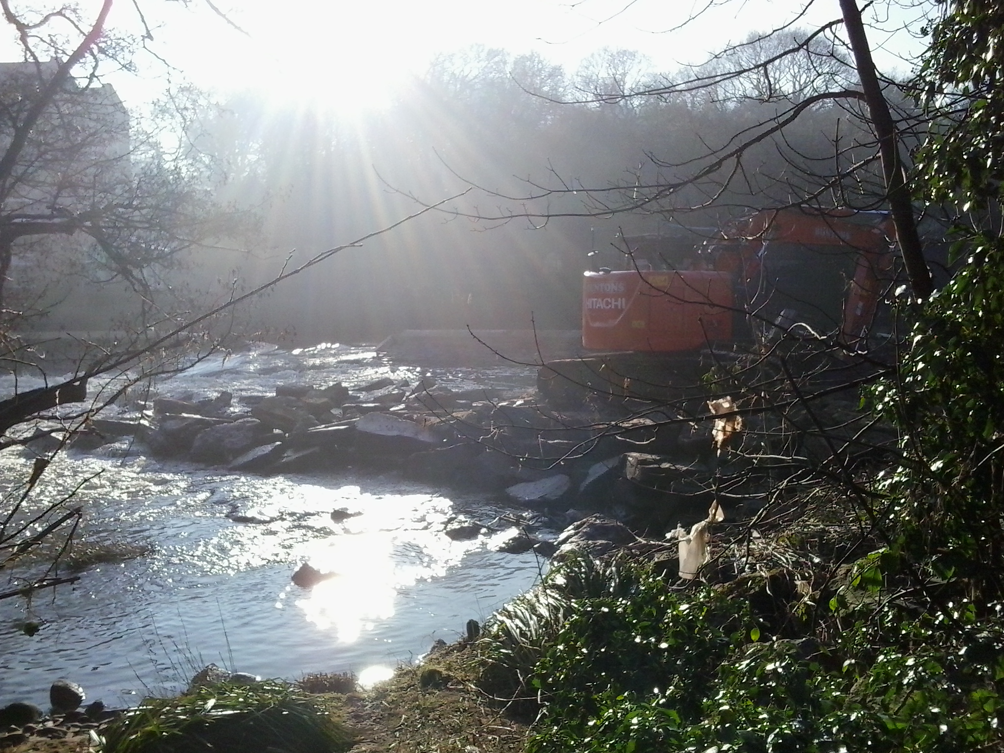
 As you can see, though, the location of the breach makes it impossible for the heavy machinery to get anywhere near it, without risking further damage to the weir (and possibly risking the equipment and driver!).
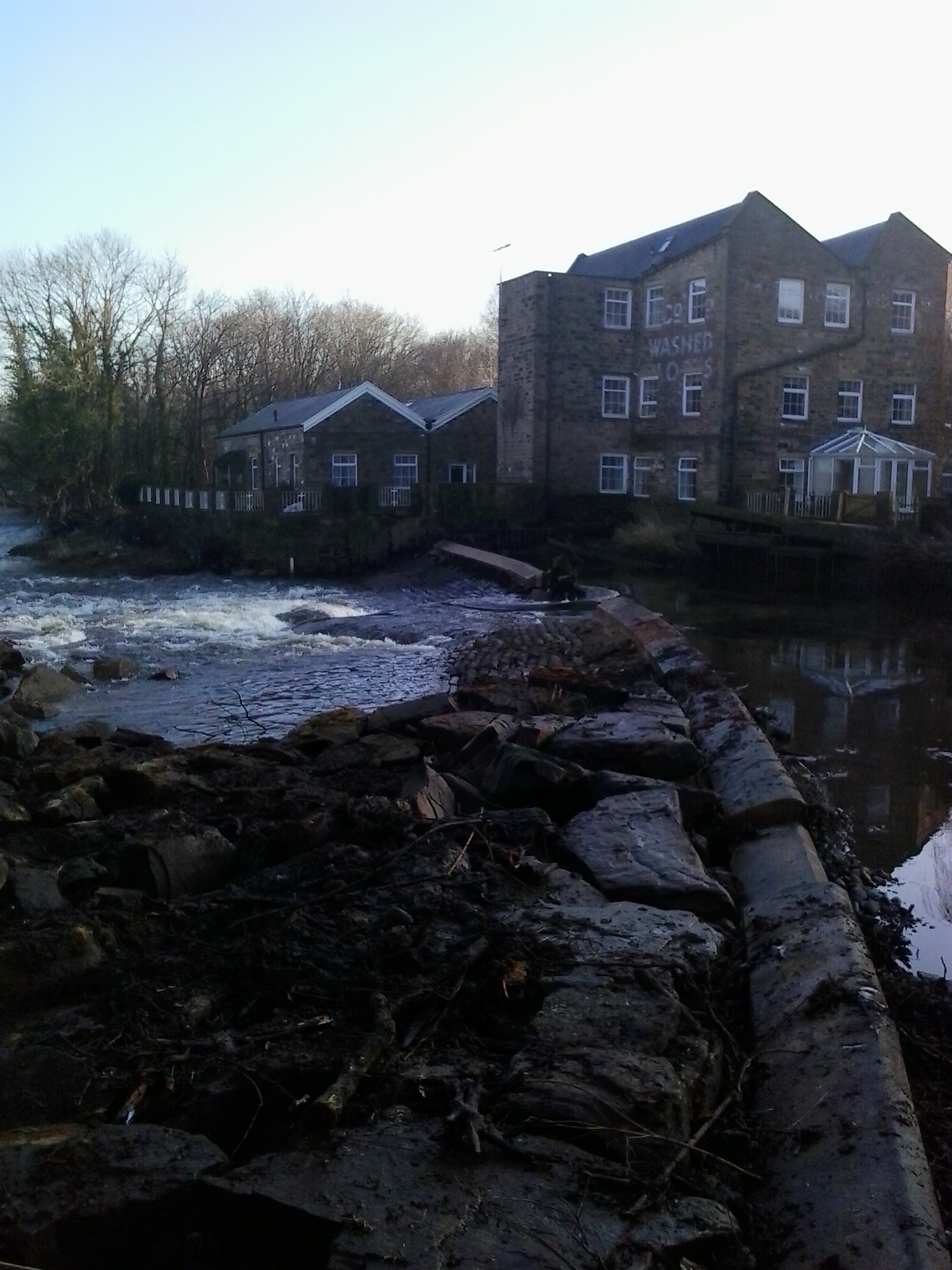
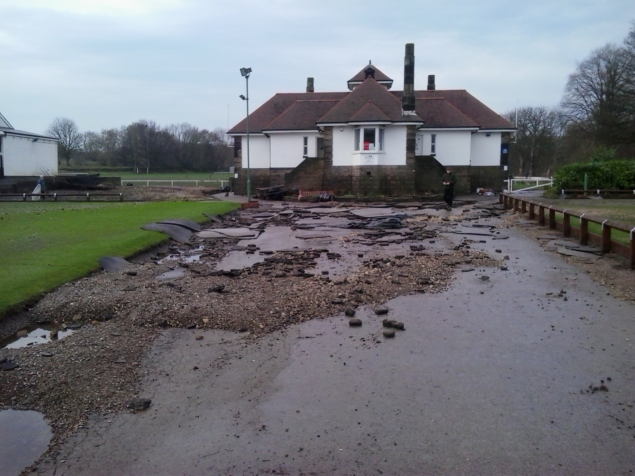
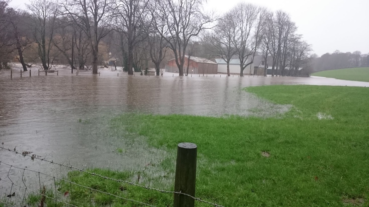 This shot is taken from the access road that leads to the club. Turning left through about 90 degrees, Martin also got this shot of the road blurring into the adjacent Loadpit Beck, as they both run downhill to the swollen Aire…