The other night, Monday June 25th, I had the opportunity to join David Robinson and his dog Oscar on their evening walk up to Shipley Glen from the Higher Coach Road estate. Despite having spent a lot of time now, working on this project in the vicinity of the river, I hadn’t previously been up the hill for want of someone to show me the way around. David generously offered to do the tour – and we just happened to pick what turned out to be an utterly glorious evening of midsummer weather…
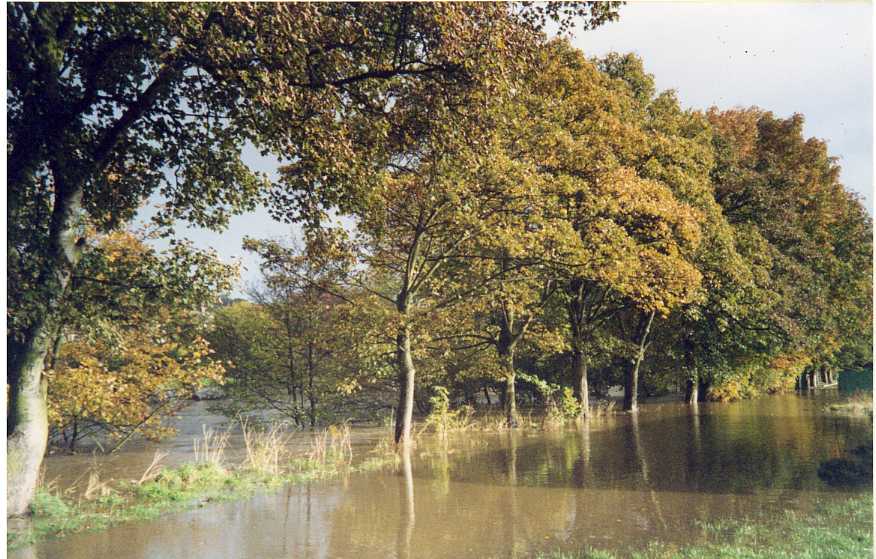
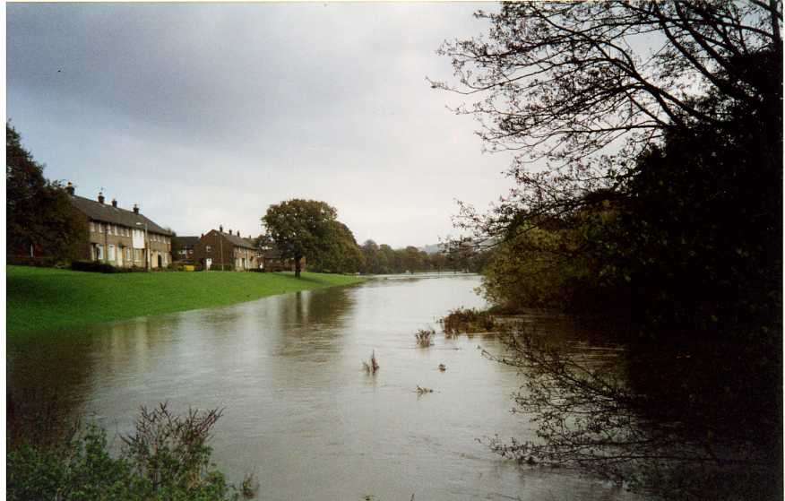
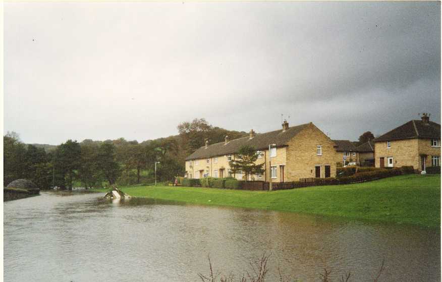
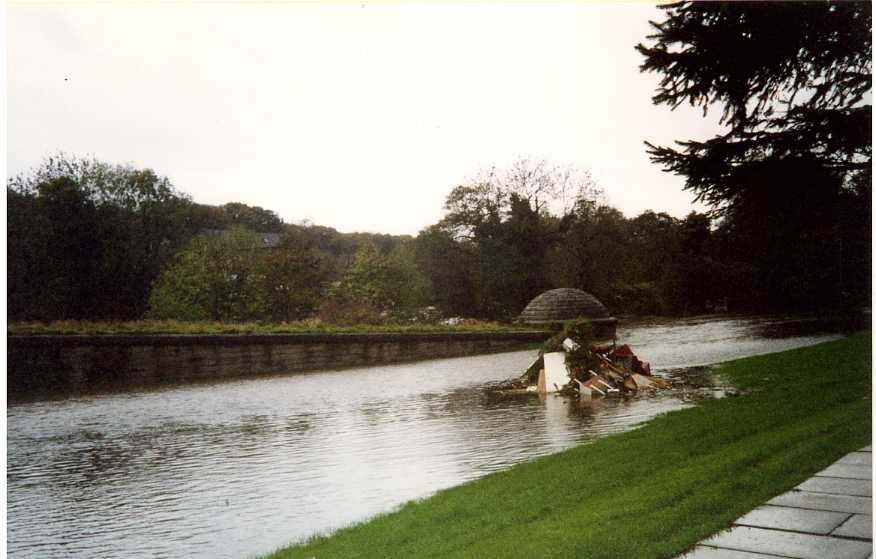
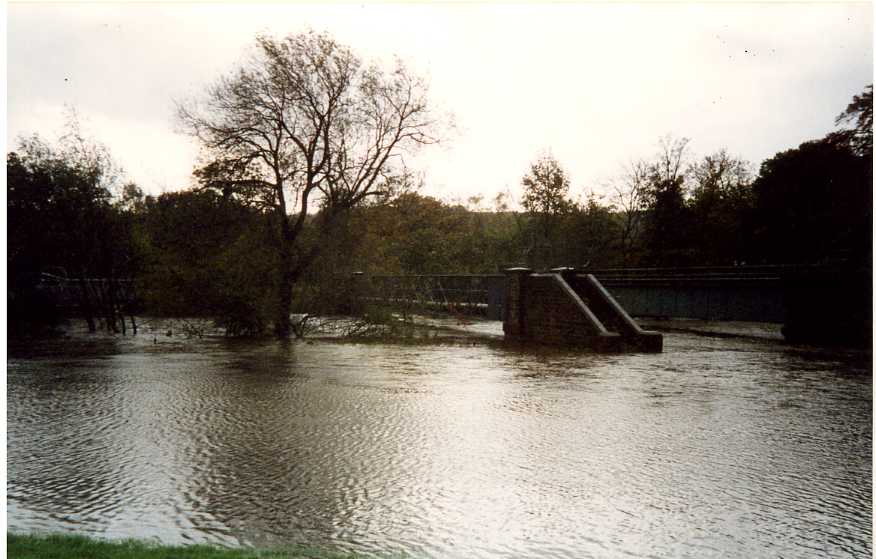
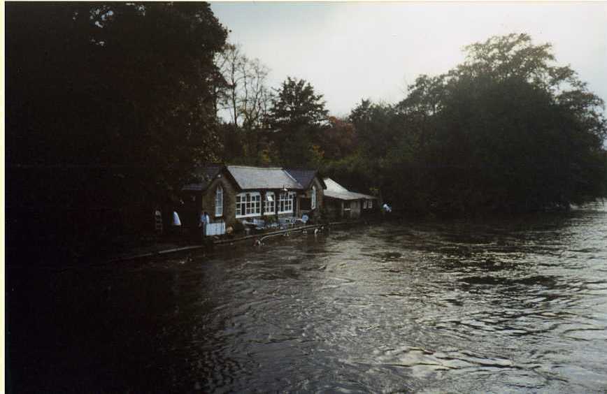
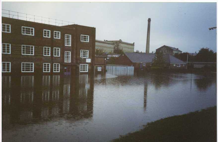
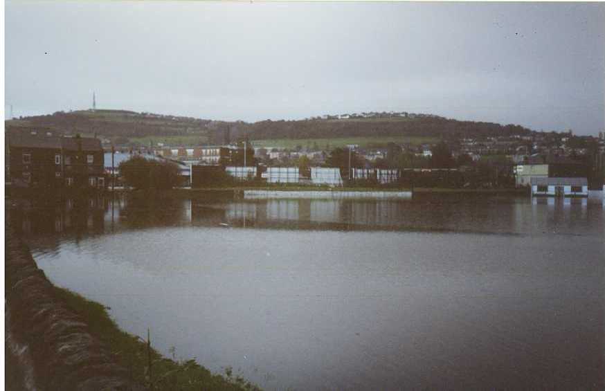
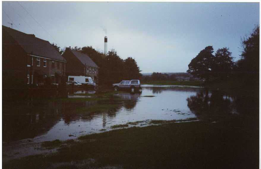
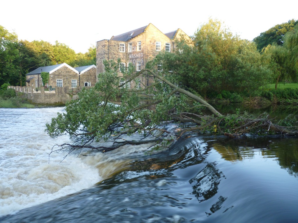 Our luck with the weather was all the more remarkable given that, only a few days earlier, the miserable rainy conditions we’ve experienced during much of June resulted in flood warnings across the county. Although the worst of it was in the Calder Valley rather than the Aire, the high water here was still more than apparent at the swollen Hirst Wood weir just yards upstream from David’s house (which faces directly onto the river). In the image above, a tree has been carried downstream and caught on the weir – it’ll have to be cleared by the Environment Agency, I presume.
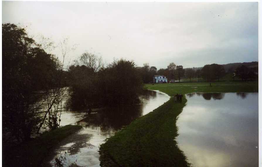
David told me that he received an automated call from the EA on Friday night advising him to take precautions and move personal items upstairs because the Aire was about to burst its banks. Despite having never previously received such a call (he didn’t even realise he was in the system), David “ignored it and went to bed” – quite confident that there was no danger of the water coming anywhere near his house. Sure enough, the Aire did break its banks that night, but did not encroach far up the green flood plain. Which sort of begs the question of who the “experts” in these circumstances actually are…
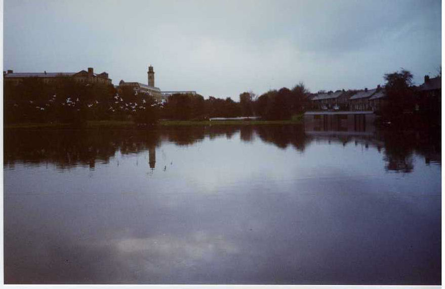
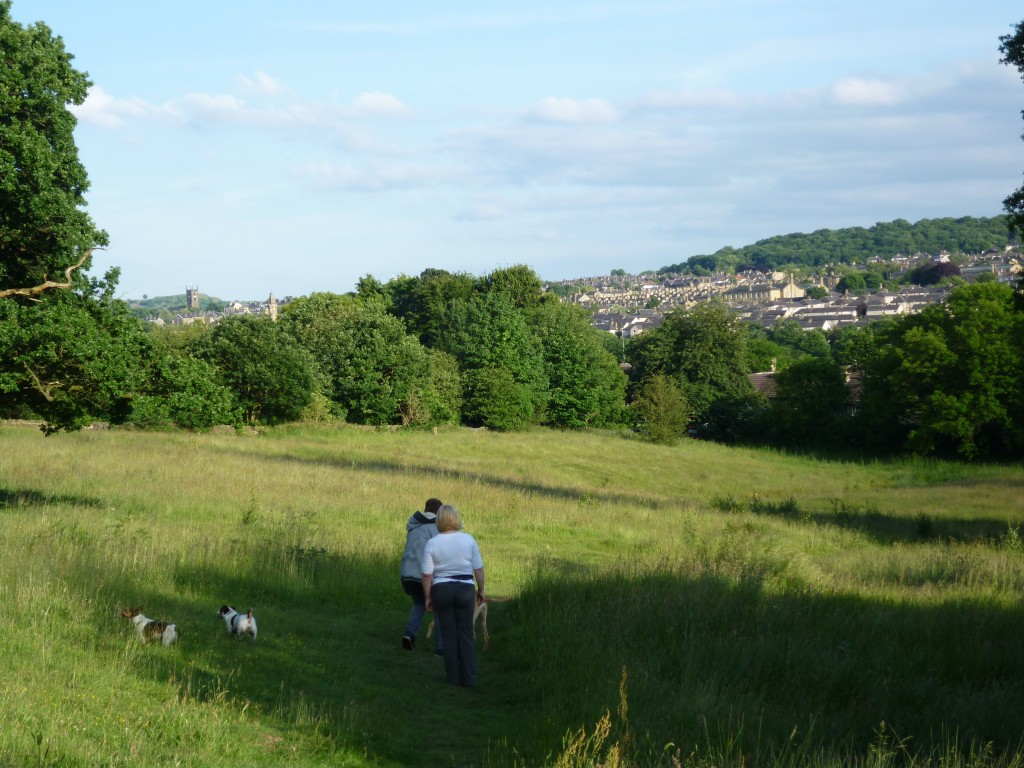 David’s walking tour took me up the hill from his riverside estate, walking initially through a meadow which can’t be farmed as it’s preserved as an SSSI (site of special scientific interest). Popular with dog-walkers, and on a night like this rendering great views of Shipley and Saltaire across the river – that’s the Shipley parish church to the left.
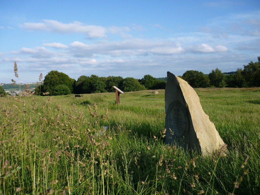 We made our way up through the steeply rising oak woodland of Shipley Glen, up to the plateau area at the edge of Baildon Moor (above), where the Victorians used to flock for fairground attractions. Traces of the old downhill Toboggan ride (early roller coaster!) are still apparent in rocks where postholes and some old ironwork survive.
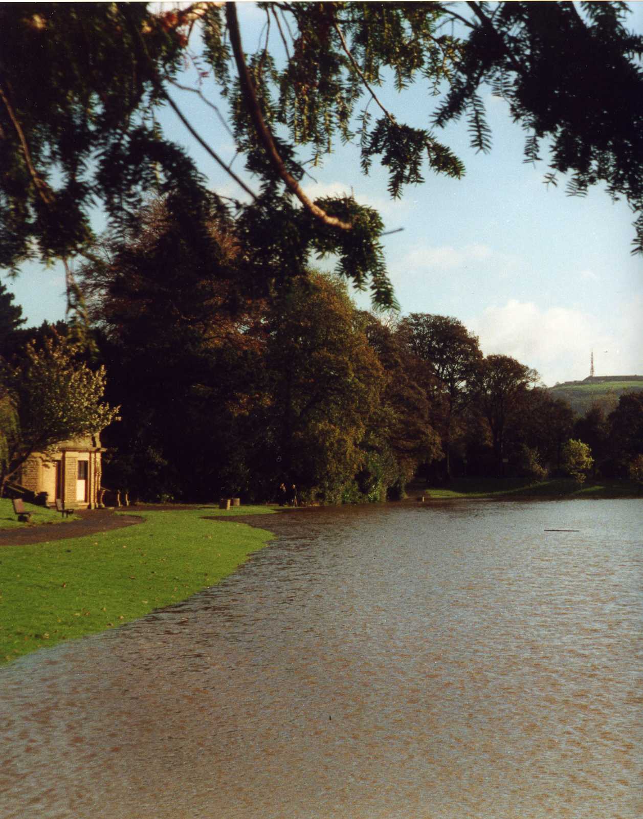
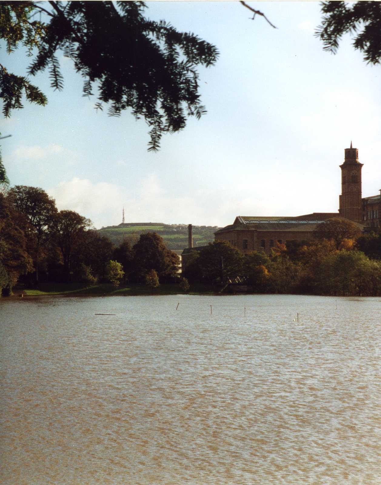
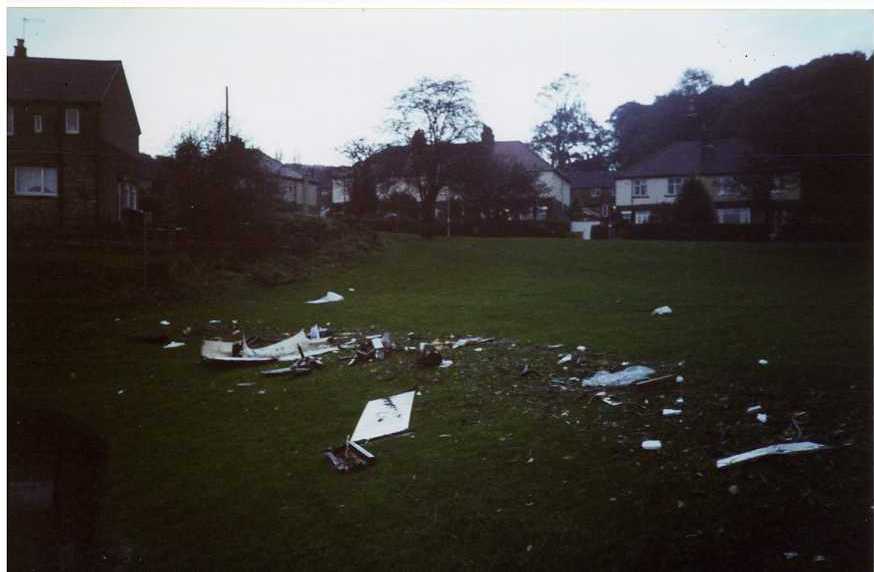
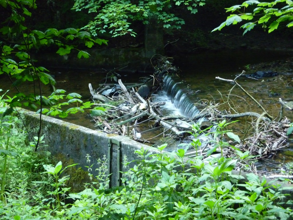
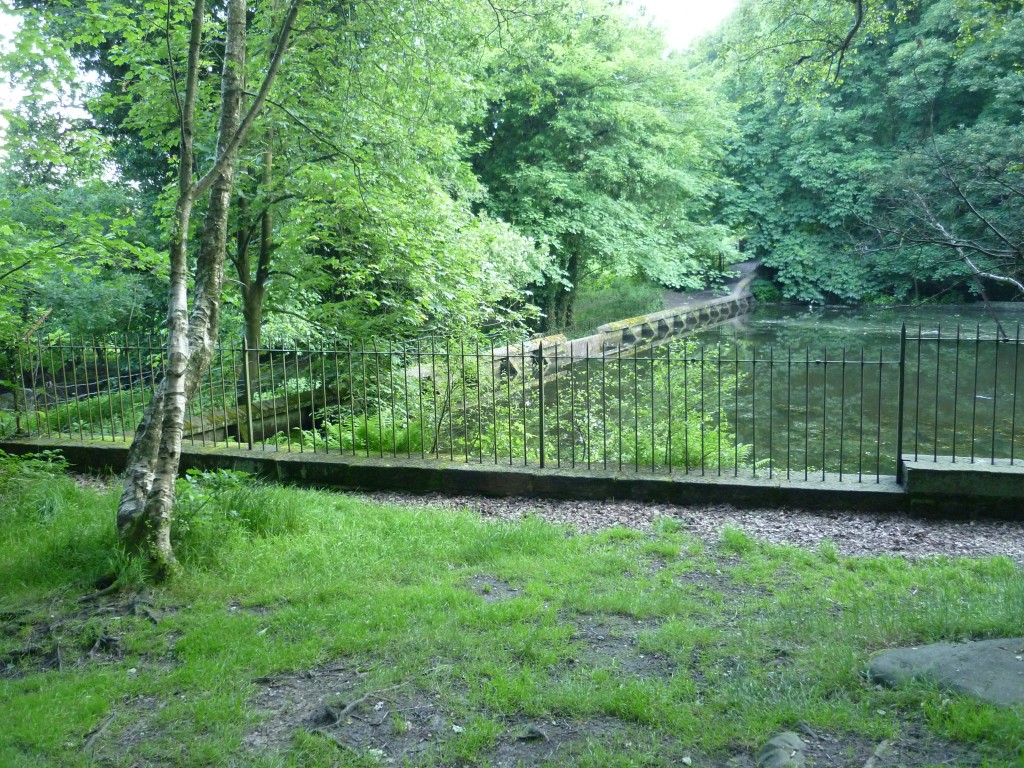 We encountered a much more intriguing Victorian relic, though, when heading back down through the woods and West towards Milner Field. Here’s the small reservoir (above) that was built by Titus Salt to siphon water from the Trout Beck (the stream that meets the Aire just yards from David’s house). According to David, this provided Salts Mill with a back-up water supply in order to sustain its own dying operation. And it’s the water channelled from this reservoir which is then pumped across the Aire by those dome-shaped pumping stations near the weir. Around this now-neglected reservoir there’s an intriguing set of engineered channels, again showing evidence of the recent high water… David said that the debris caught in the image below was not there the last time he’d walked this way, only days previously…
 A little further to the west, and we entered through the neglected gateway to the Milner Field house and estate built by Titus Salt Jr. to show off his family’s wealth… There’s a long, winding road – largely overgrown – lined on both sides with many non-oak trees that were clearly planted as a kind of botanical avenue en route to the house. But the house itself is long gone… Salt’s Mill and its industrial village survive as a World Heritage Site, but his son’s grand house is nothing but ruination, lost in the undergrowth of the oak woodland that has reclaimed the site…
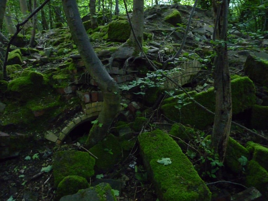 In the image above you can see traces of low archways (perhaps once the mouths of ovens??), amidst many other mossed-over loose stones. Wandering around this site is like finding a stately home as a disassembled jigsaw, strewn all over the place. You try to puzzle out what part of the house might have been where, but there’s very little to go on.
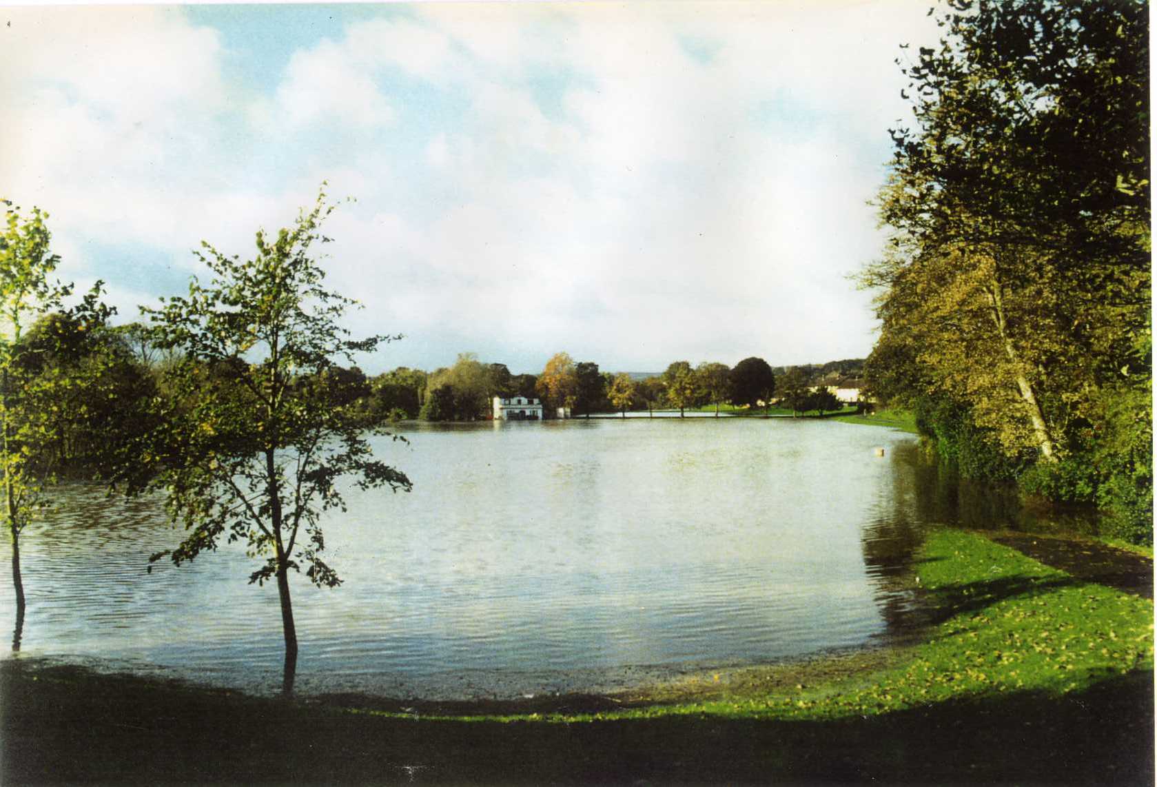
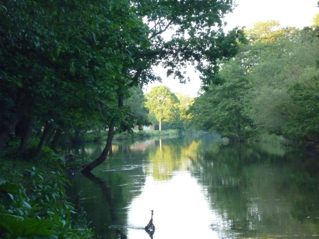 Following the gothic mystery tour, we made our way back along the river through Hirst Wood, in positively idyllic conditions as the evening sunlight showcased individual trees in glorious colour. The water is high, but this only adds to the sense of a wooded landscape blending and almost merging with the waterscape….
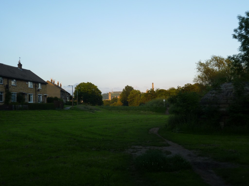 And finally, back towards Saltaire and the train back to Leeds – the sun still setting at 10pm… Thankyou David Robinson, for a really inspiring, intriguing evening.

