A statement of intent at Higher Coach Road

WP_20150823_14_58_05_Pro

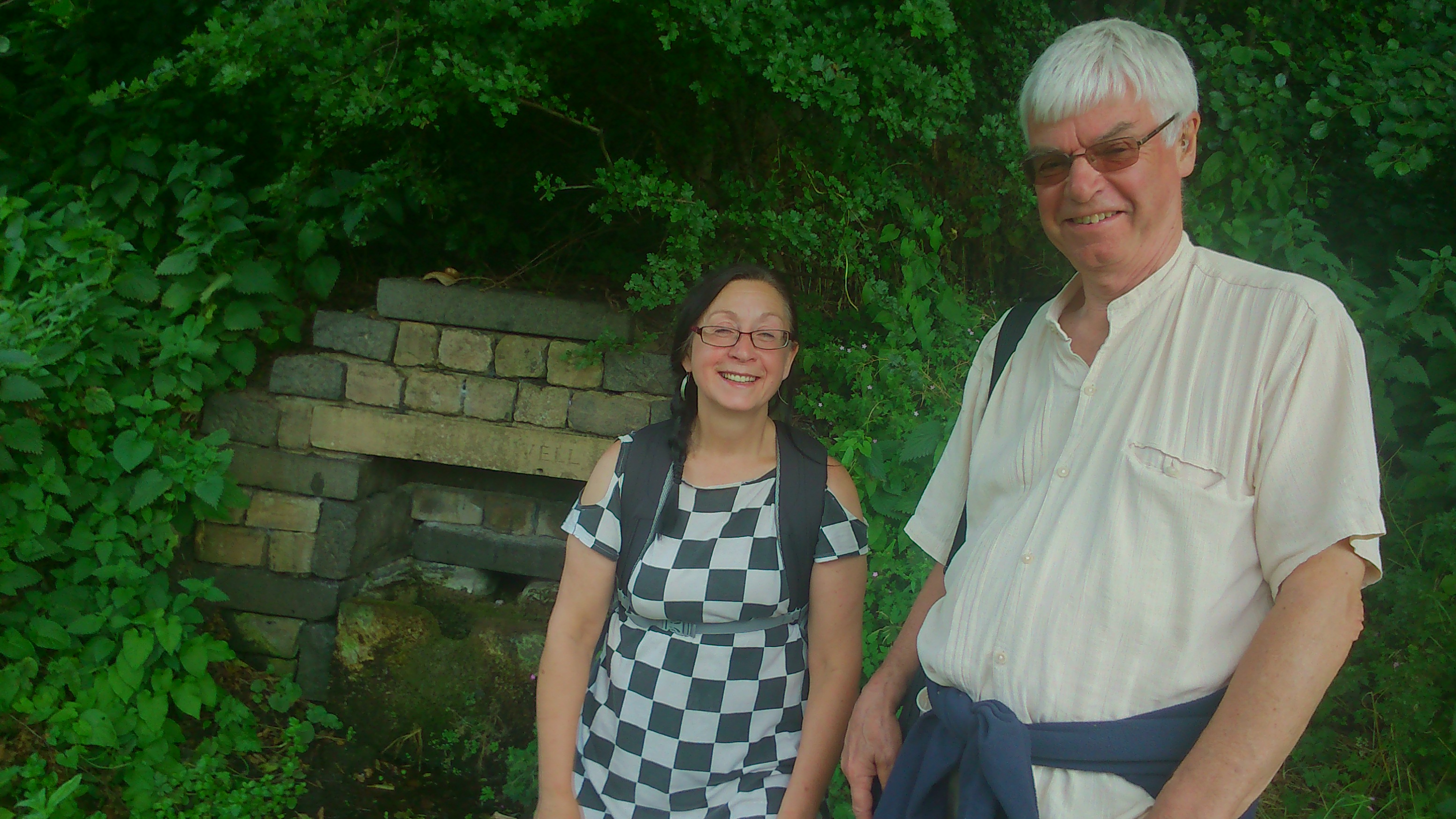
In July we had an event on the grassy flood plain between the River Aire and Higher Coach Road. It involved a “meadow meander” for which we acquired a number of stake-posts to mark out the space used. Those posts this week went back into the ground, now re-purposed to carry the signs pictured above (just before they went out). They’re the work of Stewart Gledhill, of Troutbeck Avenue, who did both the carpentry and the notices/artwork. Here’s Stewart with the first of the posts, after we post-creted it into the ground, close to the start of the riverside path leading from Roberts Park…

DSC_0015

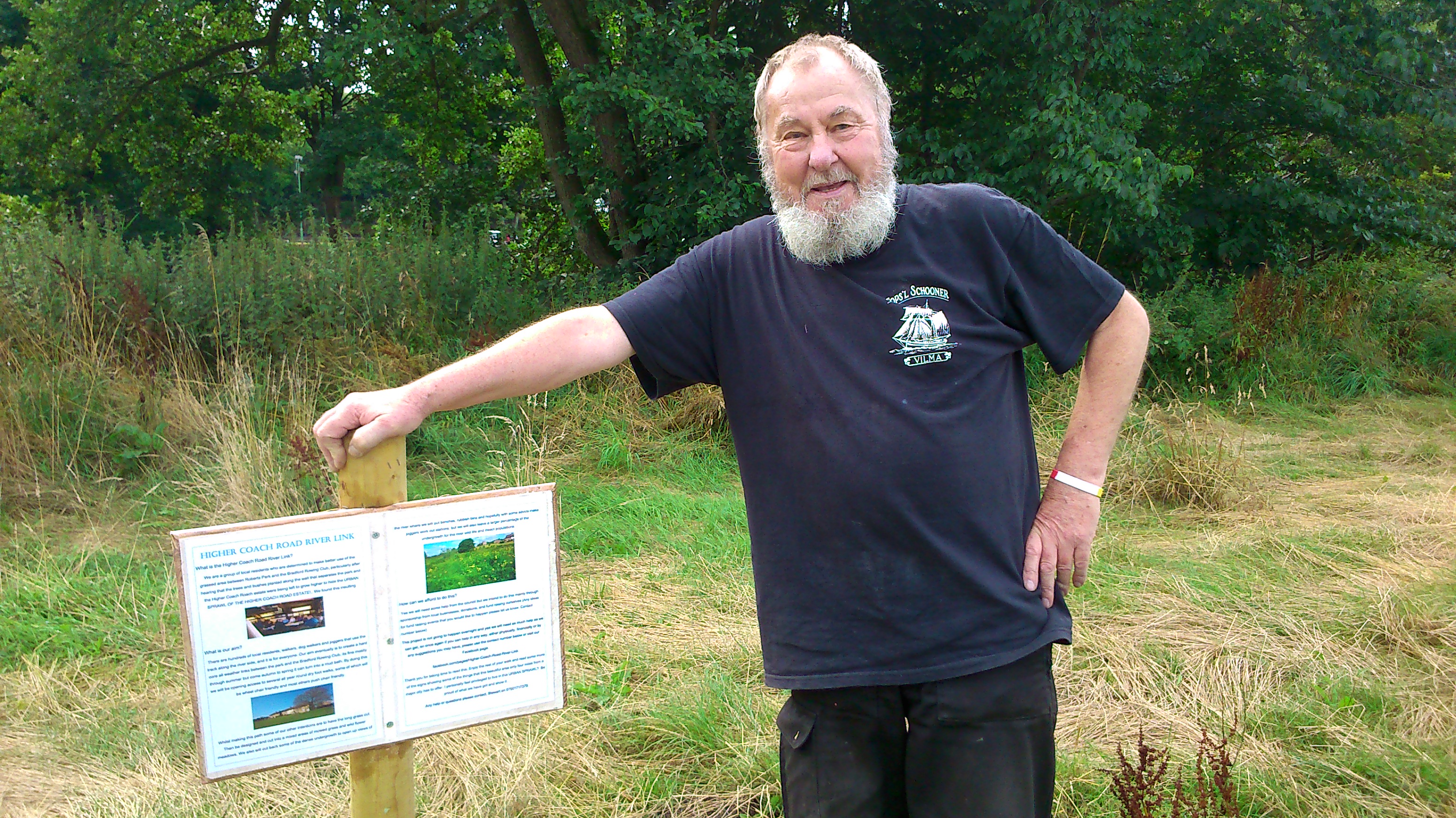
Stewart is shortly to get that beard shaved off — he’s been growing it for sponsorship. (The jury is out on whether he looks more like Captain Birdseye or Uncle Albert from Only Fools and Horses…). Anyway, this first post — which will be mirrored by a similar one at the other end of the estate, when we get round to purchasing a couple of additional stakes — tells the story of why they’re here…

DSC_0016

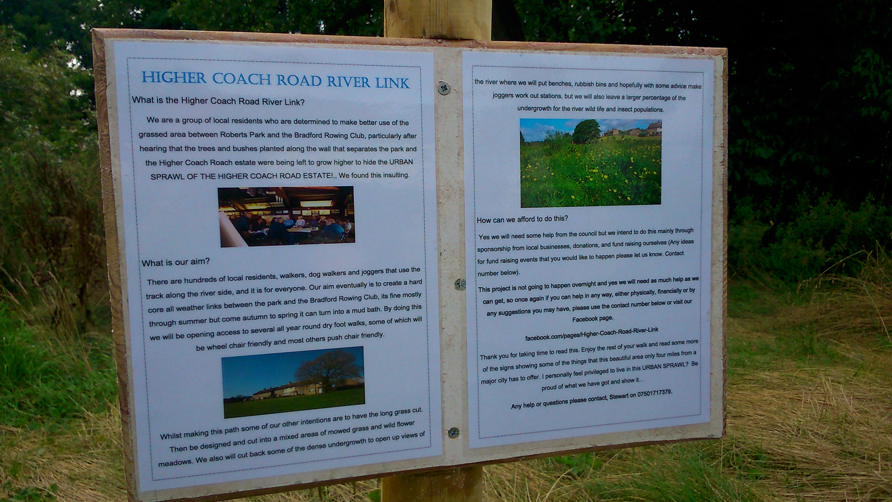
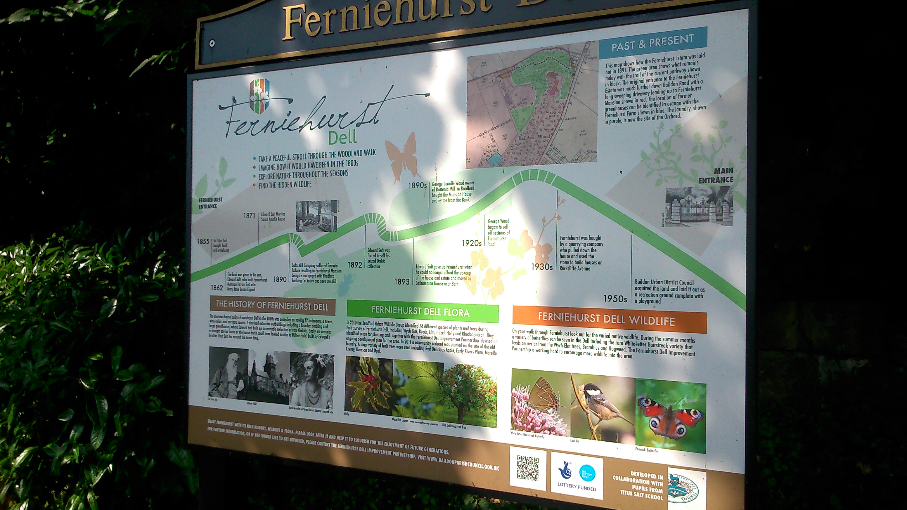
You can enlarge the picture to read the full text, but the gist of it is that Stewart is now chairing a group of estate residents who want to campaign for better use of this stretch of riverbank next to the estate. It tends to be neglected or ignored from the outside (in fact Stewart’s statement opens with a protest at the estate being “screened out” from the park…). But what if this riverside path could become a properly laid link route between the park and Hirst Wood? What if the field could become an attractive feature to walk through with, for example, wildflowers amongst the grass, and occasional river views cleared through the bankside undergrowth?

DSC_0020

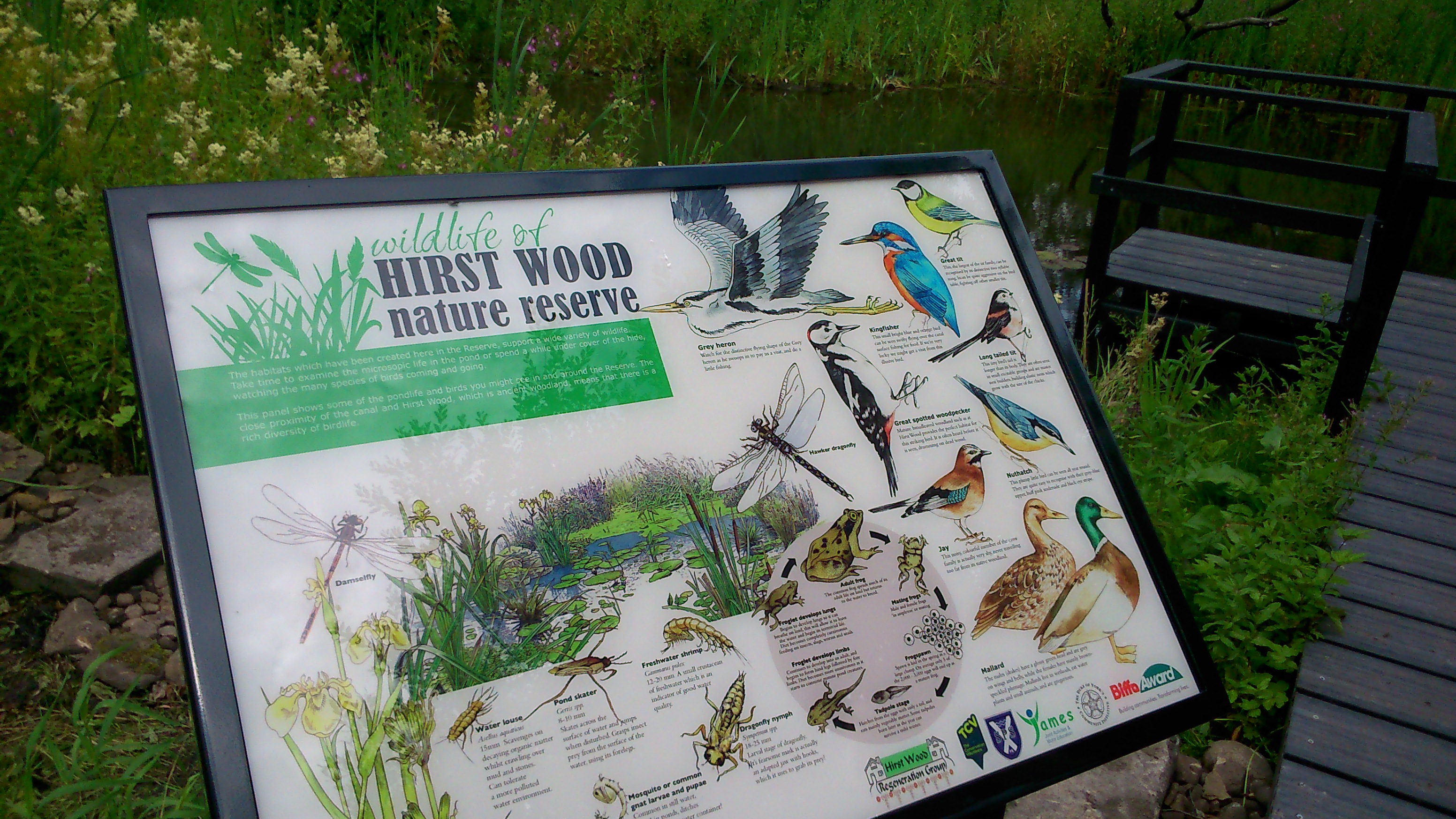
In this next notice, next to which you can glimpse a bit of the river, Stewart has included a statement about the Aire — its source and destination, and about the way that the water quality has improved over the years, a change he has observed first hand…

DSC_0018

Most of the other notices — like this one, about riverside bird life — then draw attention to aspects of the natural world surrounding us in this area, which we so often overlook as we march past… Look closer, Stewart seems to be suggesting.

DSC_0011

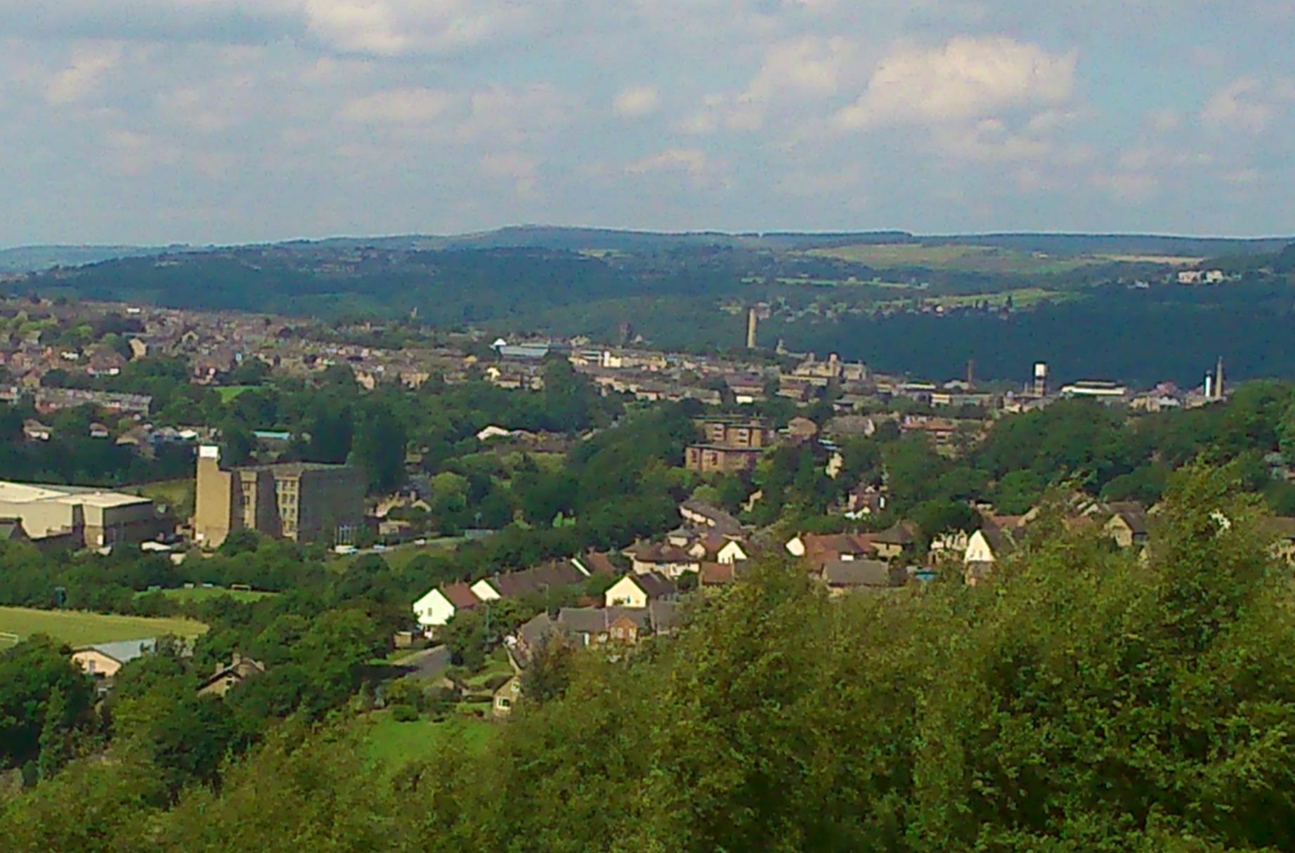
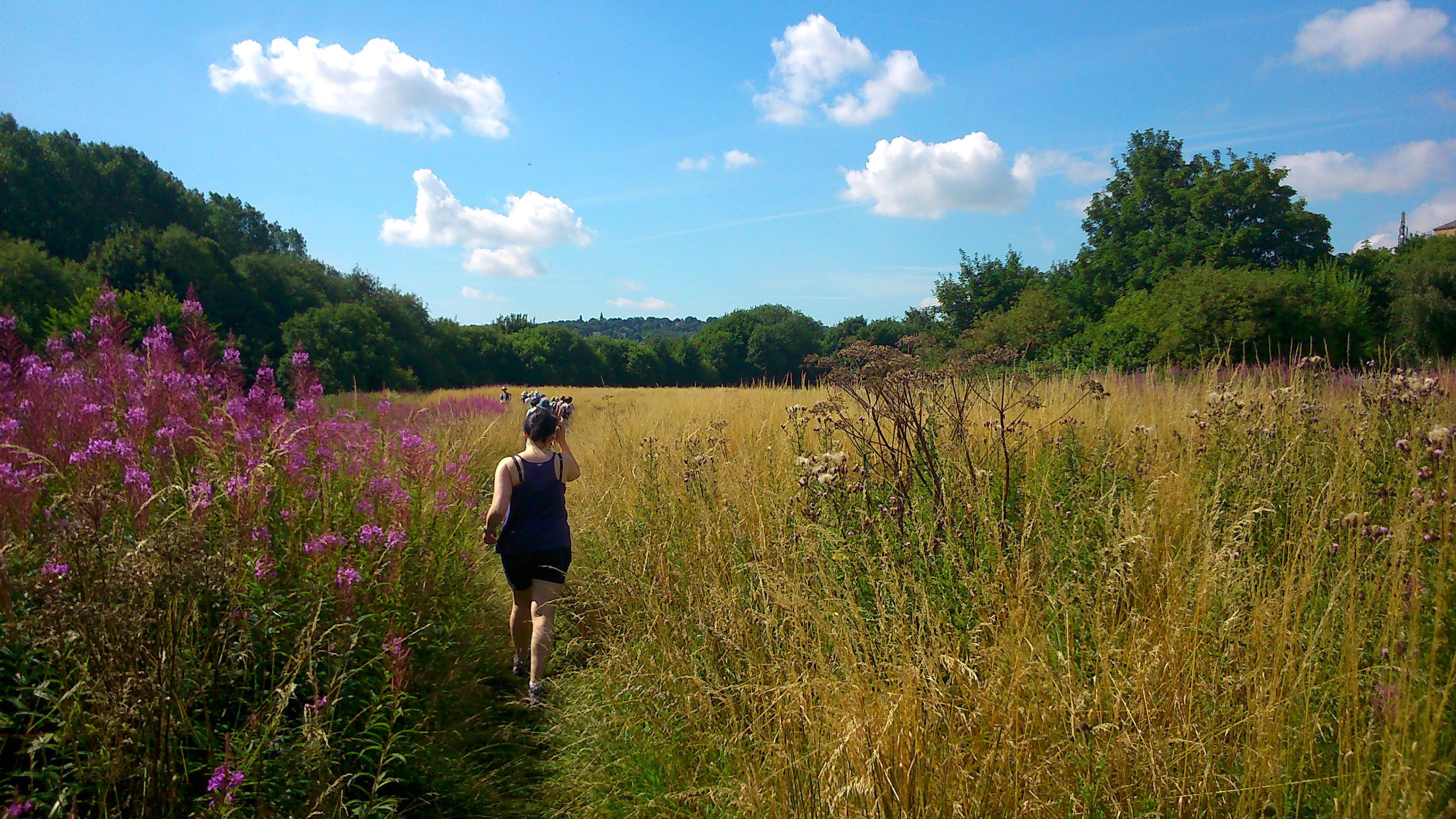
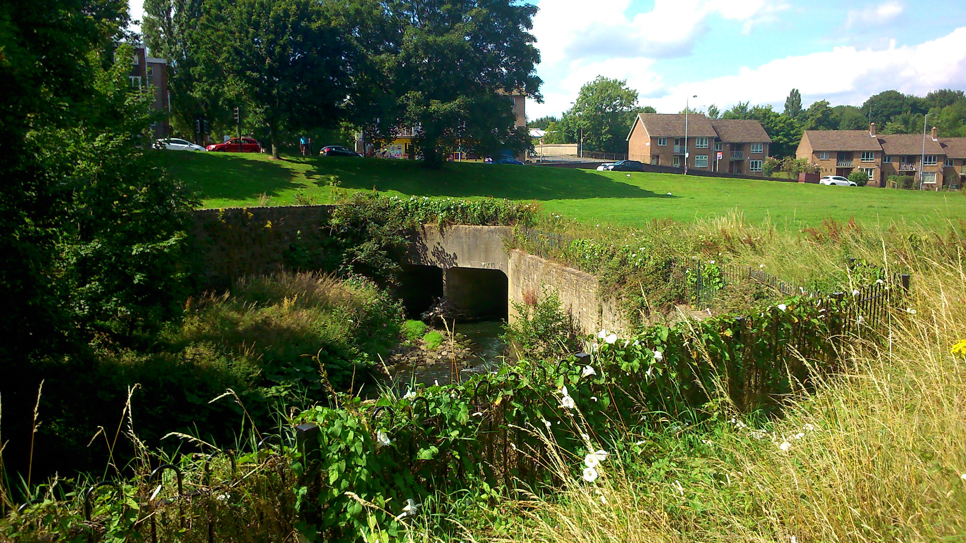
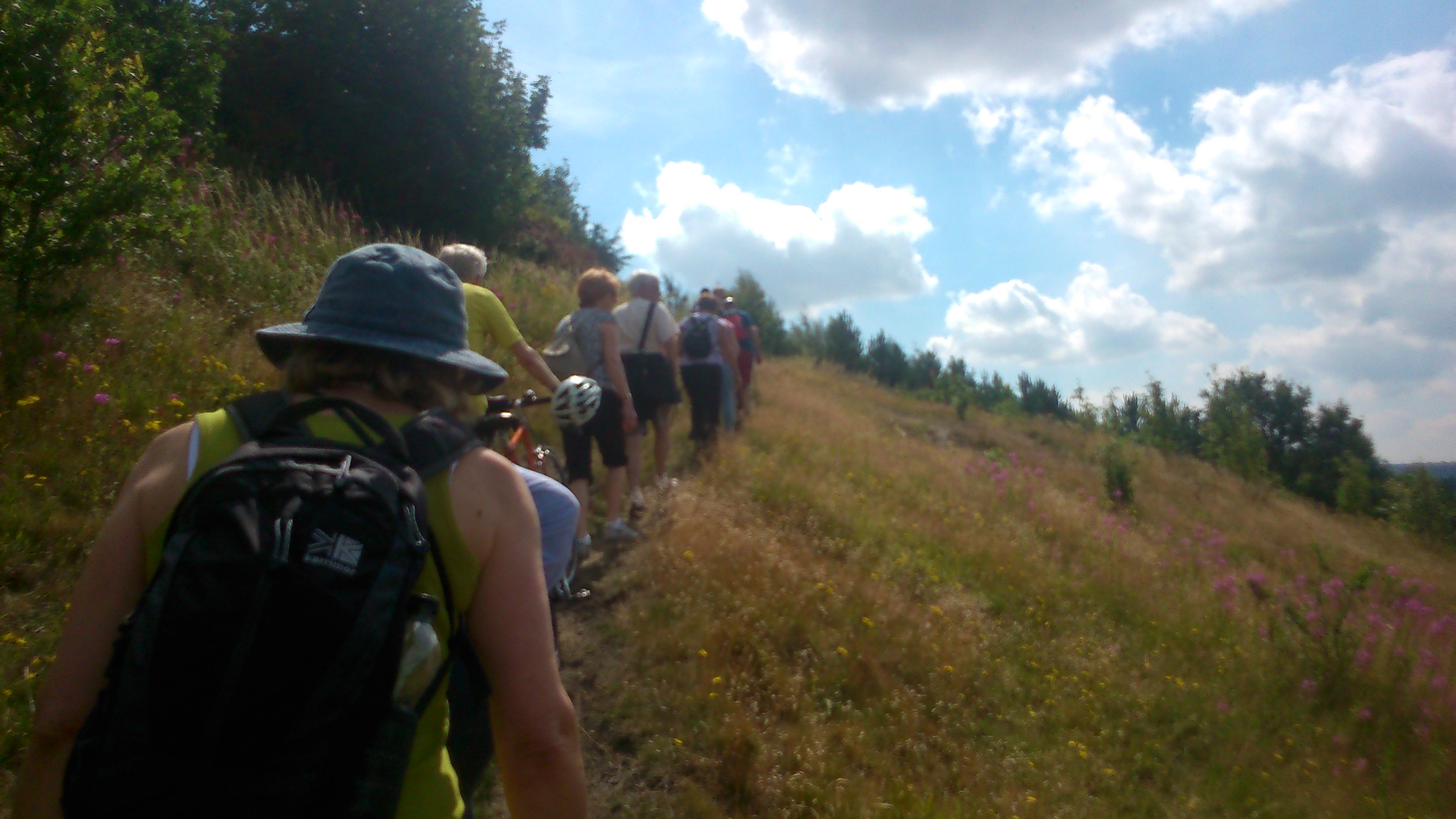
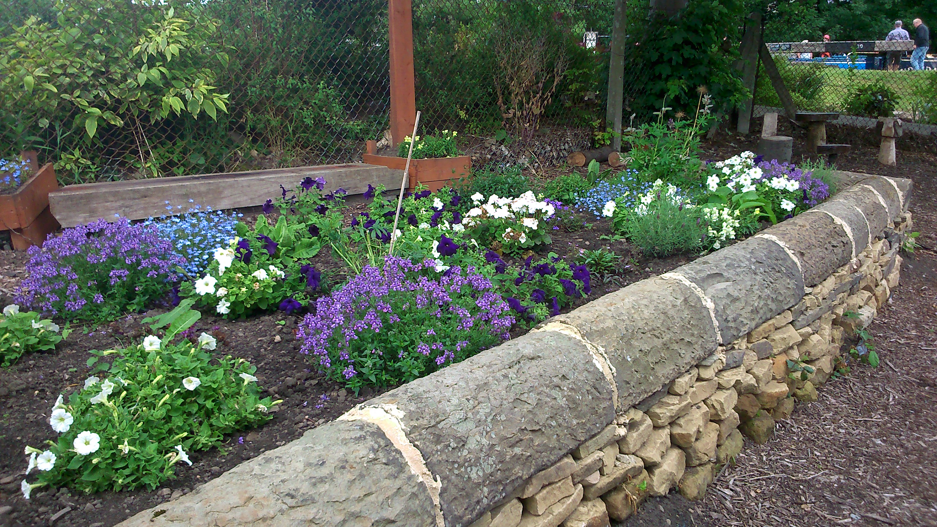
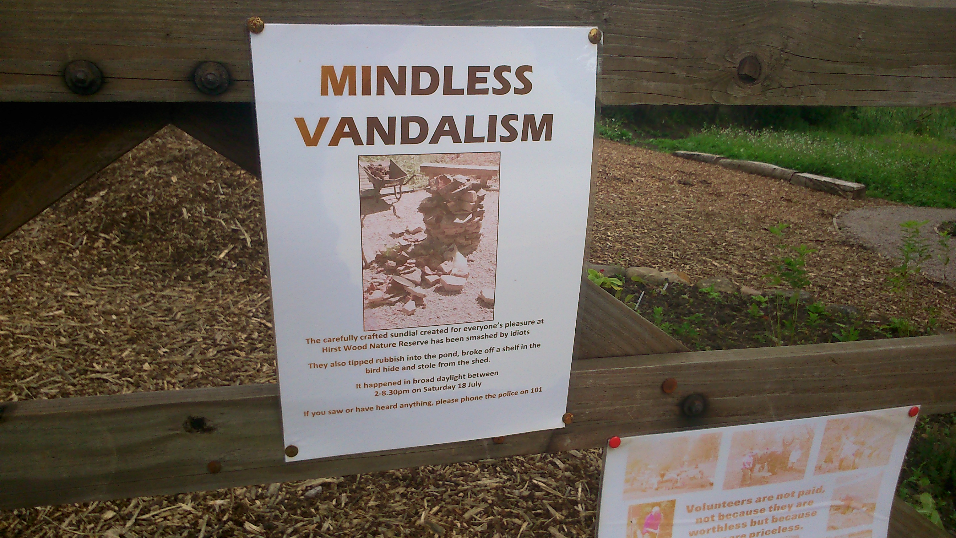
Now of course, at present, a closer look at this field doesn’t really inspire. Bradford Council, facing massive cuts, has stripped back its manpower and mower provision, and this particular area of green has been left to grow wild all summer. For a while it looked rather lovely, with buttercups and long green grasses (see this previous post), but now the field has been taken over by these rapidly spreading, browning dock plants, which make it look almost apocalyptic. Simply leaving nature to take its course isn’t necessarily a great idea if the bits of nature already present are going to go to war like this. There needs to be a plan, and some careful stewardship, if mowing really is going to be less frequent in future years.

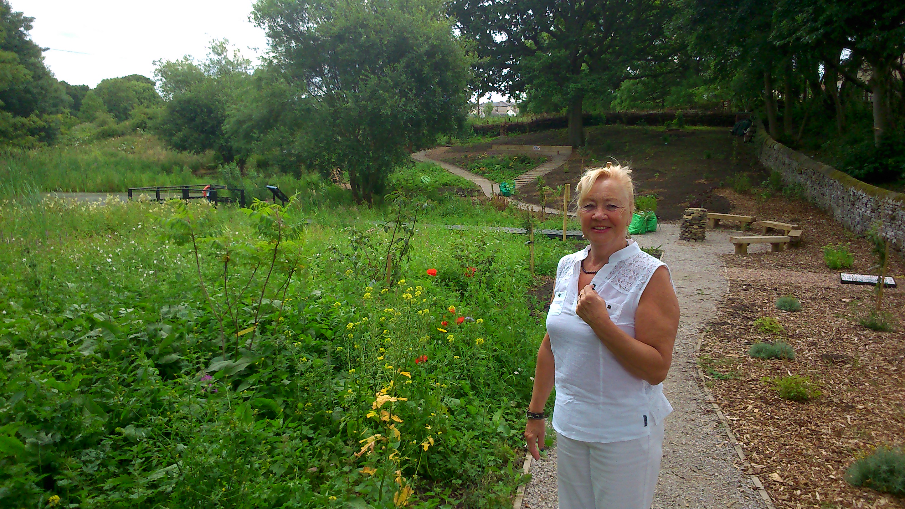
That said, even as we were post-creting these notices in, we got chatting to passers-by (both residents on the estate and walkers-through) who were commenting on the benefits of leaving the grass to grow. For instance Peter, from Park Way, was telling me about the swirls of swallows he’s seen diving down on the field outside his window — many more than in previous years — who have been drawn by the plenitude of insects living in the grass (bird food!). With a little care from residents and other interested locals, and a little co-operation from the responsible authorities, maybe a plan can be found that gives the best of both worlds… making the field look tended, cared for and attractive, while also leaving sufficient leeway for grass and plant growth to attract the wildlife people like…

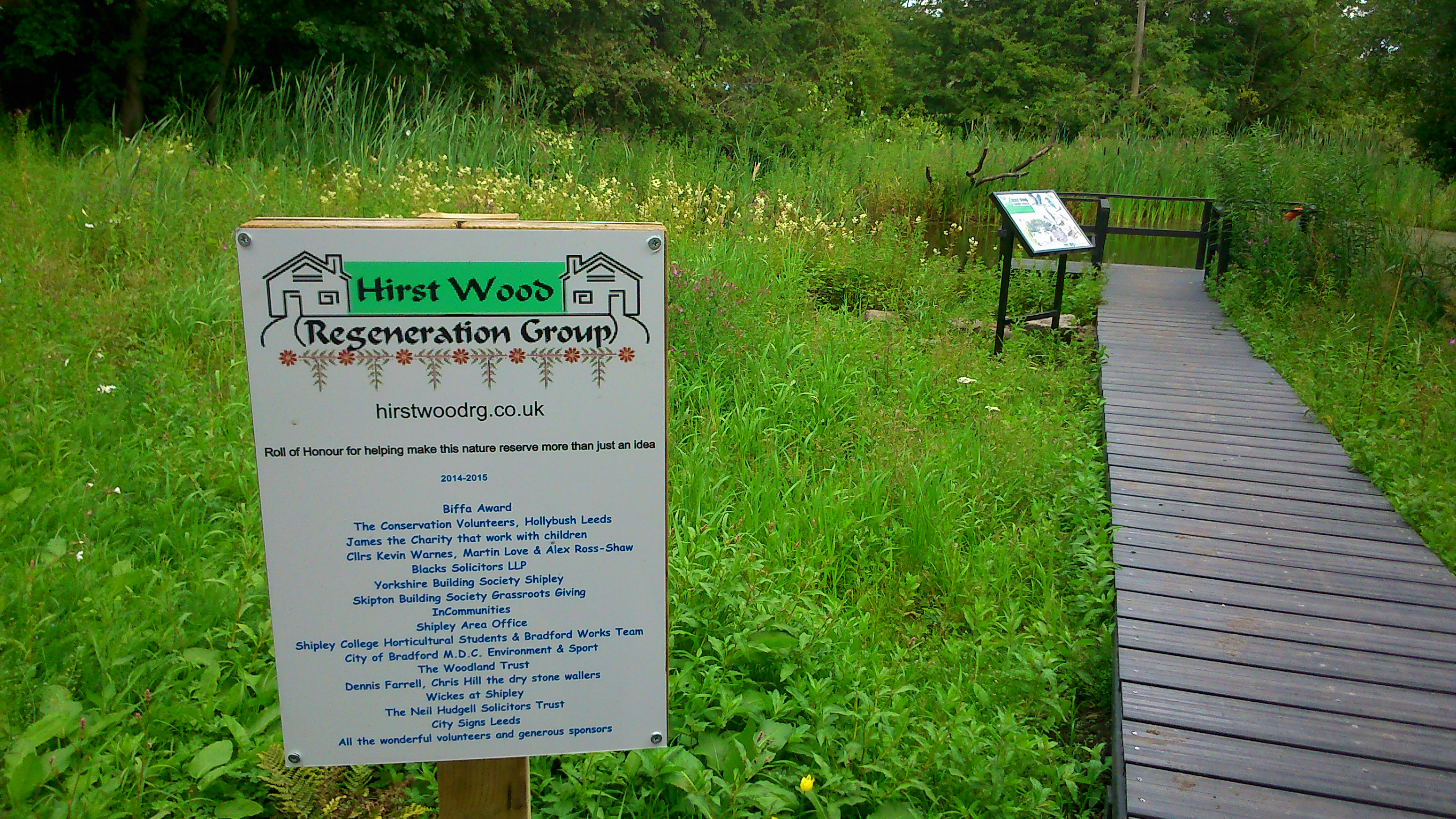
There’s a new facebook page — Higher Coach Road River Link — about this campaign. Do please visit it, and ‘Like’ it! Thanks.

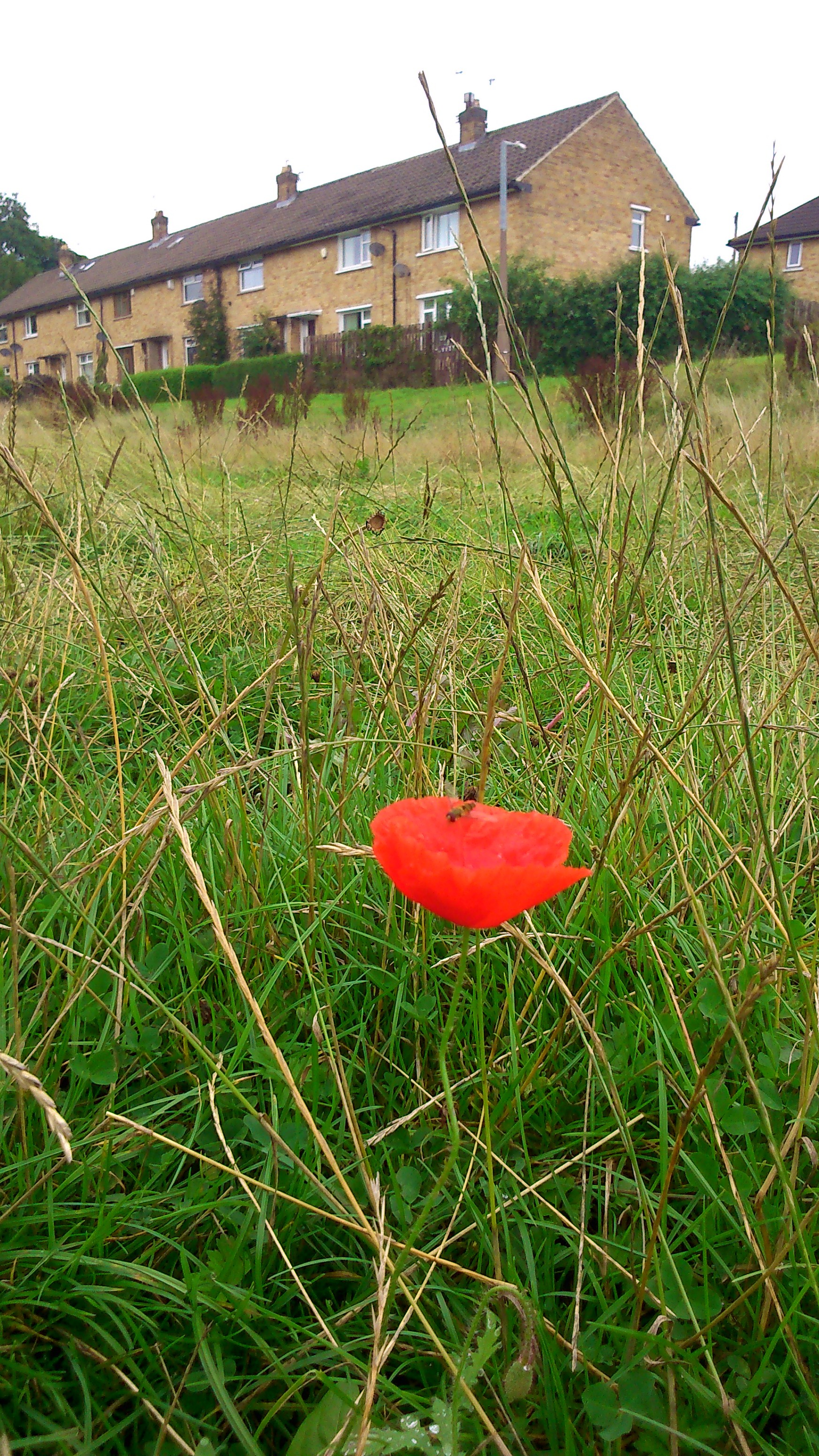
To finish with, here’s an image that sums it up. A single poppy, one of the flowers that a group of residents sewed earlier in the summer as an other small gesture towards future intent… It stands alone, but it’s growing strong — a flash of colour at ground level as you walk by. And as you can see from this image, it’s also of interest to insects… who are of interest to birds… and so on. A small intervention into the great cycle of life…?

DSC_0002


A walk in Bradforddale?

DSC_0038A spectacular view out across the valley of the Bradford Beck, taken last Saturday. On the far hillside is the unmistakable outline of Lister’s Mill at Manningham (complete with its Urban Splash- designed roof bubbles). On this side, a scrubby bit of non-descript moorland uphill from Bolton Woods. But what a view!

DSC_0036Here’s a more direct shot looking across to Lister’s, with the valley in between. The line that you can make out across the middle of this shot is of course the line of the Canal Road and its attendant industrial estates. Bradford Beck itself is invisible here, tucked away along the edge of that green area to the right of the shot, and then disappearing underground on the left. But this is the valley of the Bradford Beck, which Irene Lofthouse — poet, storyteller, and last Saturday, walking companion — should therefore be called Bradforddale. (If you Google Bradforddale, though, you get Bradford Dale in Derbyshire. If you Google Bradfordale, you get – unsurprisingly – Bradford Ale…)

DSC_0037Here is Bradford, by the way… a view looking south along the valley, with Valley Parade football ground the most prominent feature… And below, looking north, you can make out (despite the low-ish quality of my cameraphone) Shipley and Saltaire, where the Beck meets the Aire. The white box of the Shipley clock tower to the left, the unmistakable chimney of Salts Mill slightly to the right… Puts the town perspective a bit!

DSC_0040

These views from this Bolton Woods promontory were a particular highlight of an organised walk run by a very smart, lovely man called Bob Davidson, as part of the Baildon Walkers’ Weekend. We started out from Baildon roundabout (somewhere across from, up the hill and to the left of Shipley, in relation to the shot above!) and then made our way downhill into the Aire Valley to pick up the Bradford Beck as the spine of our walk (guess that makes Baildon the brain and Shipley the shoulders?). The photos below track some of the highlights along the route, all the way into Bradford.

We walked down from Baildon via Ferniehurst Dell (where Titus Salt's son Edward once had a mansion...)

We walked down from Baildon via Ferniehurst Dell (where Titus Salt’s son Edward once had a mansion…)

... via the Leeds-Liverpool Canal at Shipley (this shot is at the junction of the former Bradford Canal)

… then headed towards Bradford Beck via the Leeds-Liverpool Canal at Shipley (this shot is at the junction of the former Bradford Canal)

Heading out across the savannah... (aka the meadow between Bradford Beck and Shipley station, currently threatened by Morrisons)

Heading out across the savannah… (aka the meadow between Bradford Beck and Shipley station, currently threatened by Morrisons)

Tracking the Beck upstream along the greenway on Canal Road... Barney Lerner, chairman of the Friends of Bradford's Becks, told us about plans to remove this "box culvert" that the river currently runs through - if the money can be found!

Tracking the Beck upstream along the greenway on Canal Road… Barney Lerner, chairman of the Friends of Bradford’s Becks, told us about plans to remove this “box culvert” that the river currently runs through – if the money can be found…

We stopped for a little liquid refreshment in Bolton Woods, across the valley from Frizinghall.

We stopped for a little liquid refreshment in Bolton Woods, across the valley from Frizinghall. (and fell over drunk, hence the sideways photo…) (or is it a technical glitch…?)

... from Bolton Woods we climbed up to the top of the hill for the views at the top of this blog post...

… from Bolton Woods we climbed up to the top of the hill for the views at the top of this blog post…

Down from the hilltop via a path warning of weddings!

… and then down again from the hilltop via a misspelt path warning of weddings!

Working our way down through the woods, we came to the Boar's Well, where Irene Lofthouse told us the ancient tale of the Last Boar of Bradford.

Working our way down through the woods, we came to the Boar’s Well, where Irene Lofthouse told us the ancient tale of the Last Boar of Bradford.

Irene Lofthouse and Eddie Lawler at the Spink Well - another of Bradford's ancient water sources...

Irene with Eddie Lawler at the Spink Well – another of Bradford’s ancient water sources…

... we finally popped out of the (thin end of the woods, almost in Bradford city centre!

… we finally popped out of the (thin end of the woods, almost in Bradford city centre!

Thanks to Bob, Barney and everyone involved in the walk for a very enjoyable few hours. Definitely a route to recommend! 


Not-quite-natural wetland: a sneak preview at Hirst Wood nature reserve

The other day I was treated to a guided tour of Hirst Wood Regeneration Group‘s new nature reserve area (next to Hirst Lock at the bottom of Hirst Lane) by the group’s secretary Pauline Bradley Sharp. The reserve has its official opening on Saturday 12th September from 1pm — on the first weekend of Saltaire Festival. (The opening will, we hope, be visited by our promenade performance for the festival, Pleasant Valley Saltaire – which kicks off at 2pm from Saltaire Visitor Information Centre. See festival info.)

DSC_0006Here’s Pauline with most of the reserve area behind her – the more natural, wetland area to the left of the path, and the more orderly areas and fresh planting to the right. The whole thing is beautifully laid out, and while there are some finishing touches to complete before the opening, it’s already a wonderful space to wander around and spend time in.

DSC_0012This welcome board stands at the entrance to the site, providing a map … you can see how the Leeds-Liverpool Canal provides the northerly boundary, to what is essentially a hollow in the landscape, no use for building on, because of the way it collects water.

DSC_0009But as is clearly indicated by this second interpretation board — in the heart of the site, on the approach to the pond area — this area is brilliant for wildlife, in terms of birds, insects, an so forth. A perfect location for a nature reserve: all that was needed was a bit of planning and a bit of love.

DSC_0008

Here’s the pond from a bit more of a distance, and a sign indicating all the sponsors and supporters who have contributed to the project (a lot of love, as I mentioned!). The whole thing got going because of a £25,000 grant that Pauline researched and applied for — the Biffa Award scheme (designed to create sites compensating for Biffa’s landfill activities elsewhere!). It’s the latest and most ambitious in a series of area improvement schemes that HWRG has pursued in the last few years. They’re an amazing example of what a community interest group can achieve when they put their minds and wills to something.

DSC_0005Here’s the pond area again from a bit more of a distance. Most of what you see in this shot is land that will be quite boggy in most seasons and weather conditions — although that’s not especially the case just now after a fairly dry summer. One of the things I like best about the nature reserve is how nature is being left to take its course in areas like this — but it never looks scruffy or uncared for.

Pauline tried to show me the French drain that feeds the wetland area. I hadn’t heard the expression before, but apparently its a stone-lined drainage channel that guides surface water in a particular direction downhill. We couldn’t find it amidst the undergrowth, but Pauline then led me out of the nature reserve site and along its northern perimeter…

DSC_0014

Here she is walking down the edge of the lock’s bywash, with the nature reserve to the right. A little further along, she showed me the crack in the wall where water runs out of the bywash and down towards the not-quite-natural wetland area! Now, it wasn’t quite clear to me why someone would construct a French drain instead of just repairing the wall, but maybe it’s all about taking advantage of opportunities that present themselves…

That;s exactly what a lot of local groups and organisations have done, in getting involved with the nature reserve scheme. Pauline told  me about a sort of snowball effect that has occurred (more so with this scheme than any previous HWRG initiative): the more people have got interested and involved, the more this has drawn in others…

DSC_0004This little garden area, at the west end of the site, is a good example. It’s planted in the colours of Saltaire Primary School, because the school has adopted it and will take responsibility for it. In the background of the shot, you can see the little outdoor classroom area they’ll also be using. And just below is a mosaic the children have made as a covering for an old manhole cover that was found on the site, and that has to remain in situ. So they decided to beautify it a bit…

DSC_0007

Pauline joked that she’s not good with art like this, though the tree, pond and flowers look fairly clear to me (good job kids!). In this short Youtube video the children explain how the made it — and there are also some images of the site before it began to be redeveloped. There’s quite a radical difference.

DSC_0010Everyone is welcome at the nature reserve — even bugs! This is one of two bug hotels on the site. The other one (pictured in this previous blog post with its maker, when it was still in his front garden) is more of a traditional ‘house’ shape, but this one’s more ‘modernist’ — reminds me of a Frank Lloyd Wright building I saw in America once…

DSC_0011And here is Pauline (on her side for some reason – can’t get this picture to stand up straight!) with a log bench that has been made out of one of the tree trunks that, very controversially, were cut down from Victoria Road in Saltaire. It’s good to see that a new use has been found for it, despite the upset caused to some.

DSC_0003

And no, this sign isn’t a comment on the Saltaire trees being cut down (!). Posted on the gate of the nature reserve, it records the fact that — a few weeks ago — some “idiots” could apparently find nothing better to do with themselves than smash up parts of a site lovingly prepared by volunteers… I’ve left this to the end of the blog post because I didn’t want to sour the main story, which is one of real endeavour and achievement. And thankfully, nothing was broken that can’t be repaired or replaced. But there’s a salutary reminder here that a place like this can only survive if there really a will from everyone in the community to protect and preserve it. Come September 12th it will be open to everyone, at all hours. Still, I’m confident that, once people see the value of what is on offer here – as a place to visit, hang out, watch the world go by — it will indeed be respected and cared for. Let’s hope so, anyway…

My thanks again to Pauline, for this sneak preview and for her excellent company.